10 routes · Hiking
A classic river hike through the Cohutta Mountains.
Hiking Difficult

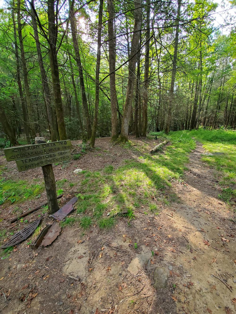
The Conasauga River Trail is a staple river hike in the Cohutta Mountains, and the second longest trail in the region. It's intersected by 4 other trails, offering several opportunities for loops, with a full thru-hike also within reach.
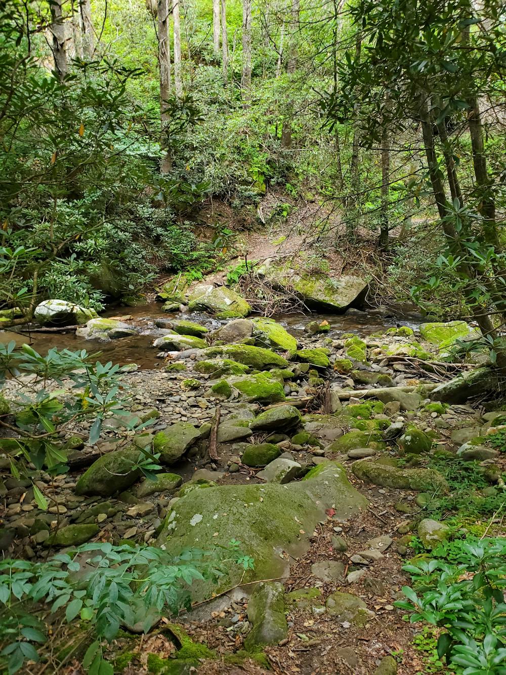
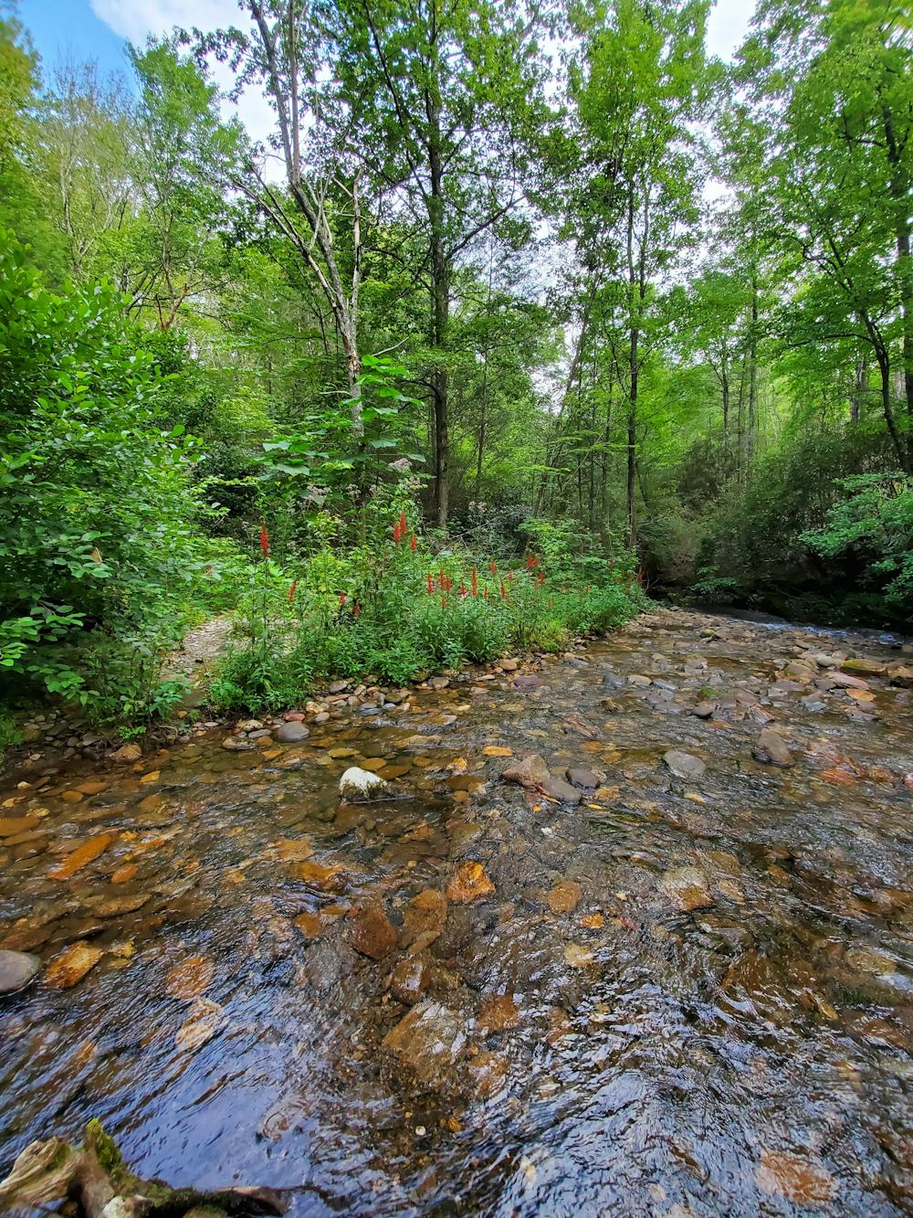
According to a detailed trail report by cohuttawildernesshiking.com, "the trail walked end to end requires 38 river crossings". While some of them can be navigated with ease, others will require fords over deep parts of the river - especially the lower elevation ones. These crossings can range from easy gravel, to large fields of boulder, expect you will get your feet wet. In the summer months, they offer an excellent way to stay cool in the heat, and the wildflowers along the river are spectacular.
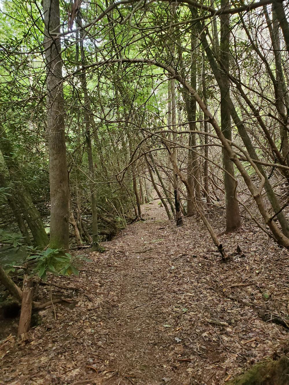
Long stretches of the path clearly follow old road beds, though erosion, flooding, and wildfire have led to countless reroutes over time. Some prefer hiking the trail northwest because it can be easier to follow at times.
Along the way, you'll pass countless campsites, and parallel beautiful cascades. Parts of this trail are open to other users, but the likelihood of seeing anyone is slim. You'll be passing through the Cohutta Wilderness area, so plan to remain completely autonomous on your entire hike. It comes highly recommended to never hike this trail alone.
If a full thru-hike is your thing, the northwestern terminus is located along West Cowpen Road (FS-17). Double check your map at all intersections, because it is easily to get lost with the limited and inconsistent road markings.
The southeastern terminus is the higher of the two. Located at Betty Gap, the trailhead sits just above 3,000' on Three Forks Road (FS-64). With two vehicles, shuttling the Conasauga River Trail is a great option. There are however, seasonal road closures during the winter and spring that limit access to Betty Gap.
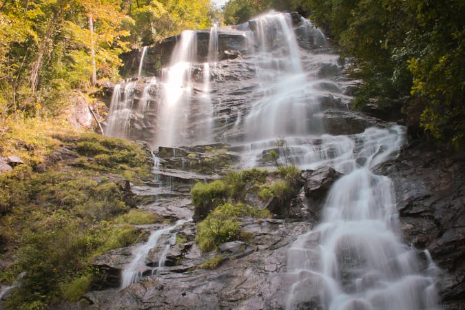
One of the most popular destinations in the region is Panther Creek Falls, a side trip at the near-halfway point of the Conasauga River Trail. From the junction, head up Panther Creek Trail 1-2 miles to access the waterfall. If you're looking to make a loop, you can continue past the waterfall and follow East Cowpen Trail back to Three Forks Road.
https://www.cohuttawildernesshiking.com/conasauga-river-trail-ga/index.html
Difficult
Hiking trails where obstacles such as rocks or roots are prevalent. Some obstacles can require care to step over or around. At times, the trail can be worn and eroded. The grade of the trail is generally quite steep, and can often lead to strenuous hiking.

Some trail sections have exposed ledges or steep ascents/descents where falling could cause serious injury.

In the high mountains or remote conditions, all individuals must be completely autonomous in every situation.
10 routes · Hiking