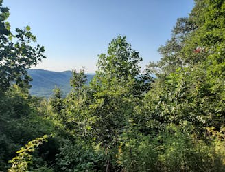
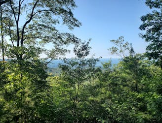
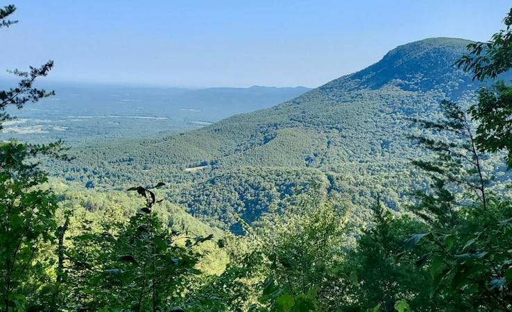
Conasauga River Trail
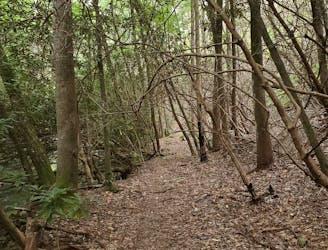
An epic point-to-point trail run through the heart of the Cohutta Mountains.
Difficult Trail Running
- Distance
- 19 km
- Ascent
- 890 m
- Descent
- 459 m
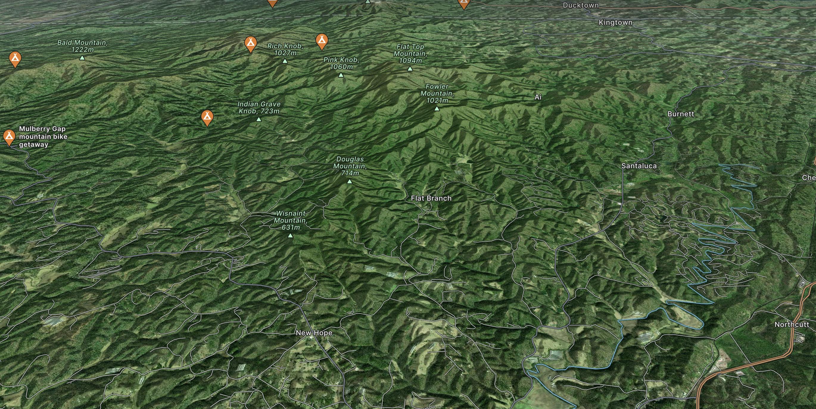
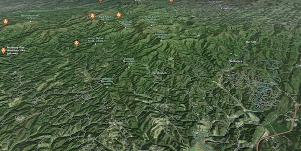
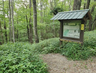
Explore Ellijay with curated guides of the best hiking trails, mountain bike trails, trail running routes, and more. With over 26 3D trail maps in FATMAP, you can easily discover and navigate the best trails in Ellijay.
No matter what your next adventure has in store, you can find a guide on FATMAP to help you plan your next epic trip.
Get a top trail recommendation in Ellijay from one of our 7 guidebooks, or get inspired by the 26 local adventures uploaded by the FATMAP community. Start exploring now!
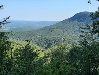
An epic point-to-point trail run through the heart of the Cohutta Mountains.
Difficult Trail Running

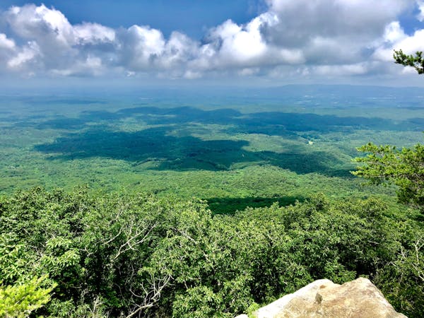
A short trail run or addition to the Gahuti Trail, paying visit to a 40' tall fire tower, lush overlook, and ruins of an ancient stone wall.
Moderate Trail Running
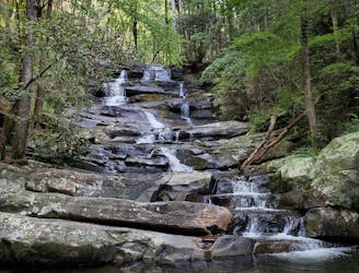
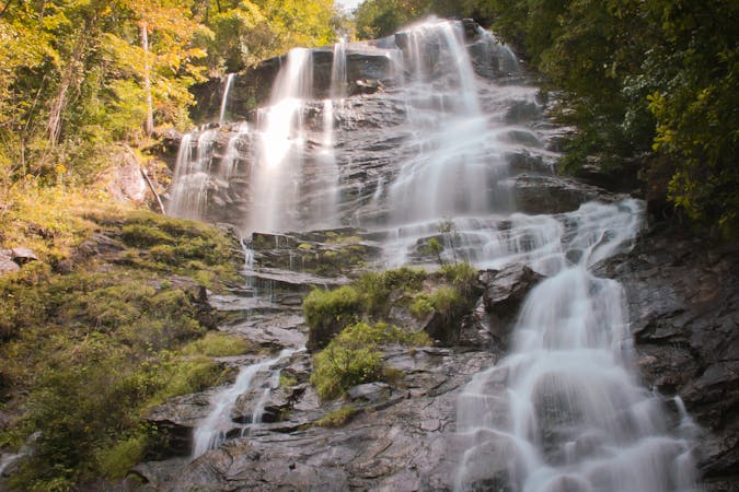
A trail run to a magnificent two-part waterfall located deep in a former logging area.
Moderate Trail Running
An 8-mile hiking loop with lush views, challenging terrain, and a waterfall.
Moderate Hiking
A classic mountain bike loop through Fort Mountain State Park with plenty of views, challenging terrain, and plenty of history.
Moderate Mountain Biking
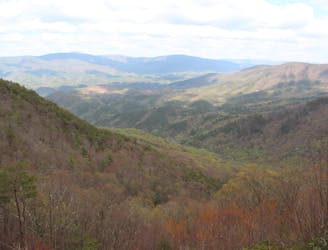
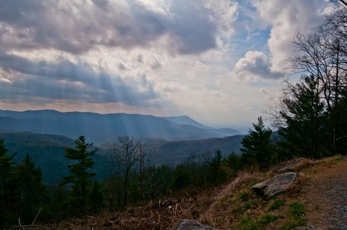
A backcountry trail running loop with big elevation gain, vistas, wildflowers, and several river crossings.
Difficult Trail Running
A summit hike atop Fort Mountain including a ~40 stone fire tower, lush overlook, and ruins of an ancient stone wall.
Moderate Hiking
An 8-mile trail running loop with lush views, challenging terrain, and a waterfall.
Moderate Trail Running
10 routes · Hiking
8 routes · Mountain Biking
10 routes · Hiking
11 routes · Hiking · Trail Running
3 routes · Mountain Biking

24 routes · Mountain Biking

10 routes · Trail Running