325 m away
Fort Mountain Summit Loop
A short trail run or addition to the Gahuti Trail, paying visit to a 40' tall fire tower, lush overlook, and ruins of an ancient stone wall.
Moderate Trail Running
- Distance
- 2.5 km
- Ascent
- 127 m
- Descent
- 127 m
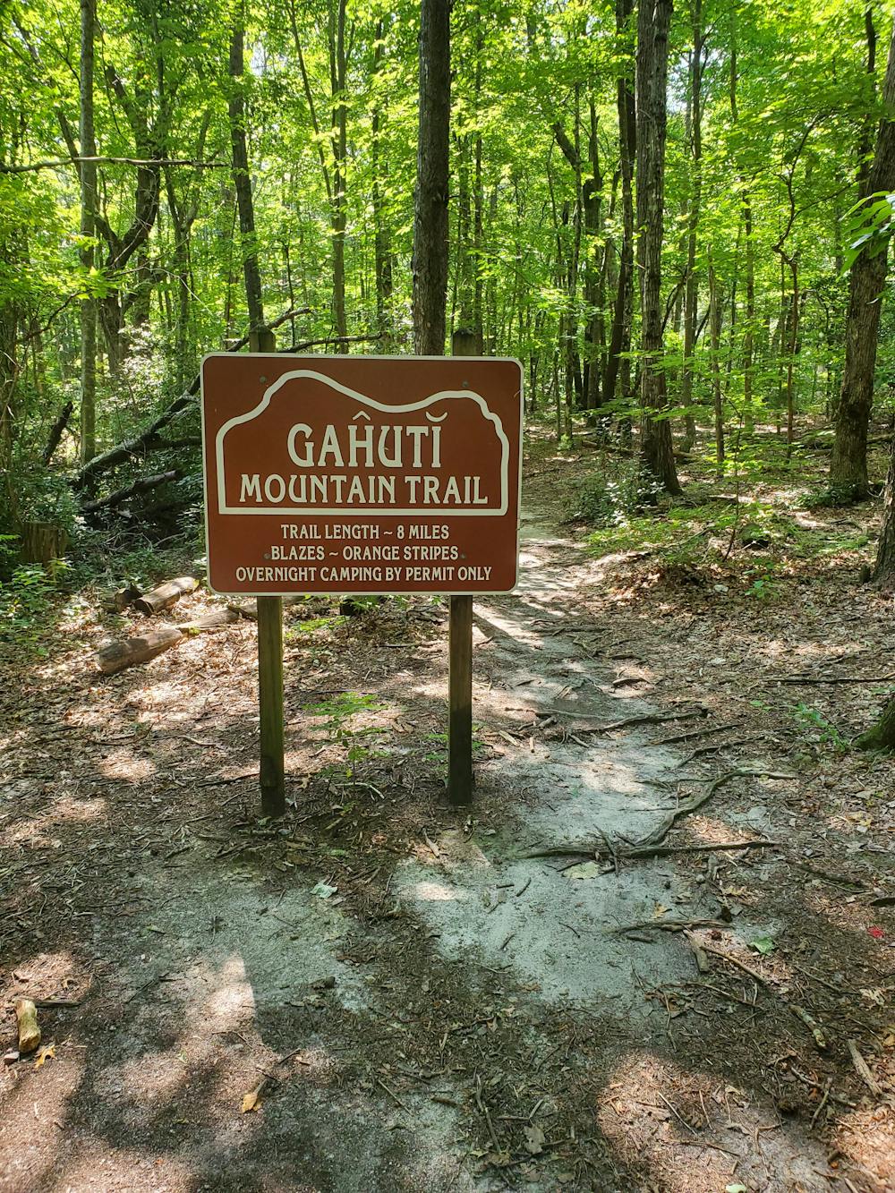
An 8-mile trail running loop with lush views, challenging terrain, and a waterfall.
Trail Running Moderate

Translated as 'Mother Mountain' in the Cherokee language, the Gahuti Trail is one of the best trail runs within the state park. Compared to Trail 301, another popular route, this is a foot-traffic only trail that highlights Fort Mountain's best features.
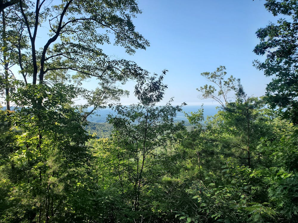
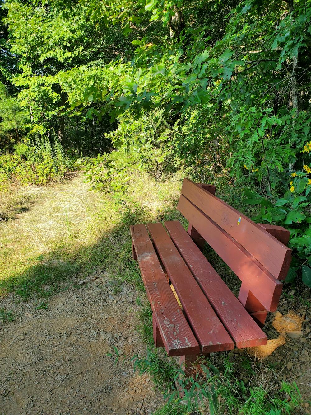
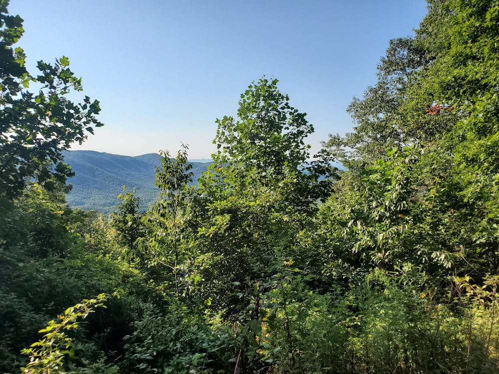
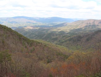
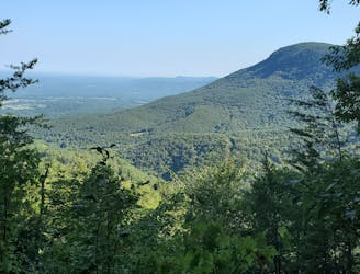
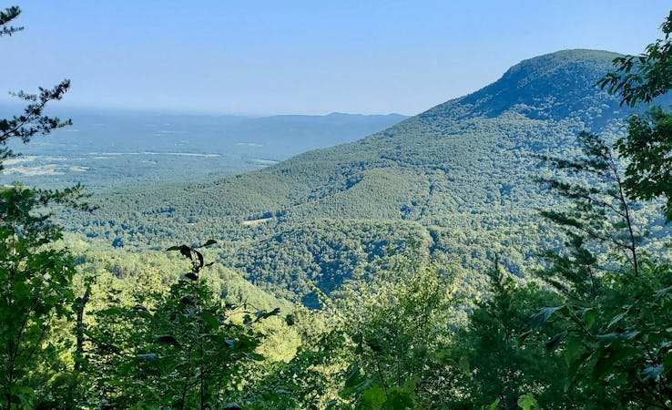
This is an all-seasons trail run, but the cooler months offer the best views. You'll encounter several lush overlooks that offer different views of the North Georgia Blue Ridge. Along the southern portion of the loop, the Gahuti shadows Trail 301 and you'll be rewarded with sweeping vistas to the south, plus a couple of benches where you could stop to catch your breath.
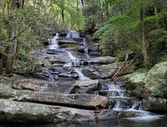
Circling around the west side of the reservoir, Goldmine Branch Falls is another highlight of this trail run. A wooden bridge below the large multi-tiered cascade also makes this a popular destination for a shorter day hike from the campground.
The main trailhead is located near the end of Old Fort Road in the state park before you reach the trailhead for the fire tower, stone wall, and main overlook. For an extra 1-2 miles to the loop, you could visit any combination of those other popular landmarks.
Sources: https://www.atlantatrails.com/hiking-trails/fort-mountain-hiking-the-gahuti-trail-in-north-georgia/ https://gastateparks.org/sites/default/files/parks/pdf/trailmaps/FortMountainTrailMap.pdf
Moderate

The trail contains some obstacles such as outcroppings and rock which could cause injury.
Away from help but easily accessed.
325 m away
A short trail run or addition to the Gahuti Trail, paying visit to a 40' tall fire tower, lush overlook, and ruins of an ancient stone wall.
Moderate Trail Running
1.5 km away
A long loop through Fort Mountain State Park with plenty of views and remnants of abandoned talc mines.
Moderate Trail Running
6.1 km away
A trail run to a magnificent two-part waterfall located deep in a former logging area.
Moderate Trail Running
11 routes · Hiking · Trail Running