9.4 km away
Fort Mountain Summit Loop
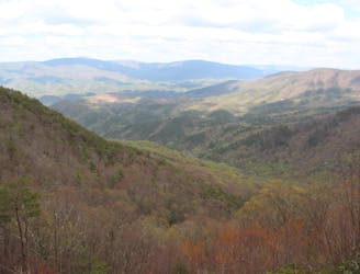
A summit hike atop Fort Mountain including a ~40 stone fire tower, lush overlook, and ruins of an ancient stone wall.
Moderate Hiking
- Distance
- 2.5 km
- Ascent
- 127 m
- Descent
- 127 m
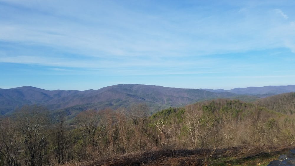
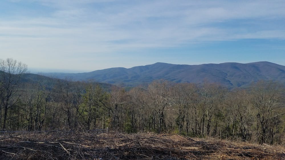
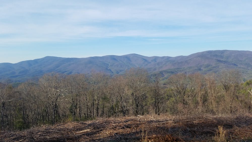
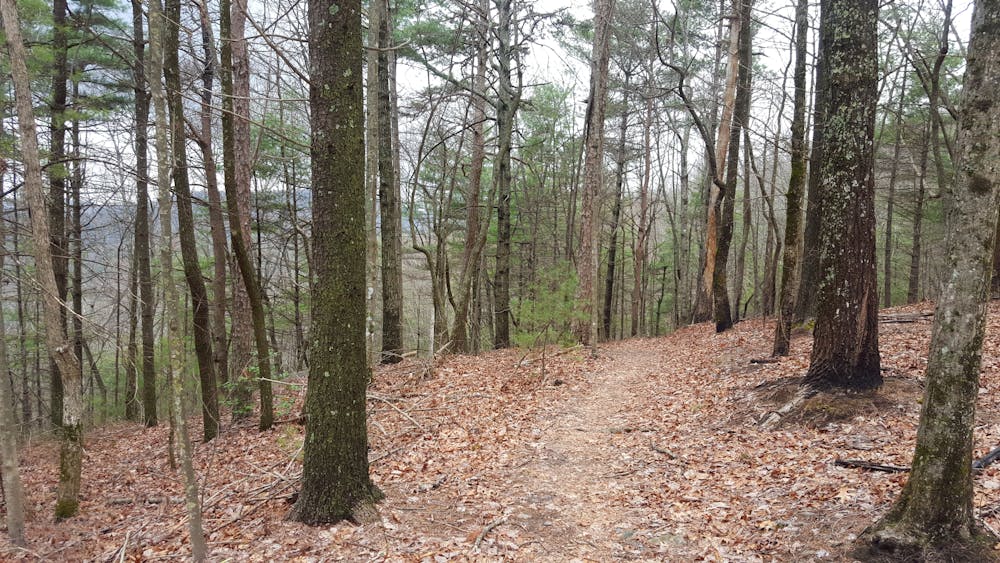
The Pinhoti Trail as it enters the Cohutta Mountains.
Hiking Difficult

Connecting Flagg Mountain in Alabama to the Benton MacKaye Trail in Georgia, the Pinhoti is nearing the end of its 330-mile journey. Portions of this route follow reclaimed doubletrack and OHV Trails, while new singletrack sections were opened around 2013 to reroute a former unmarked road portion.
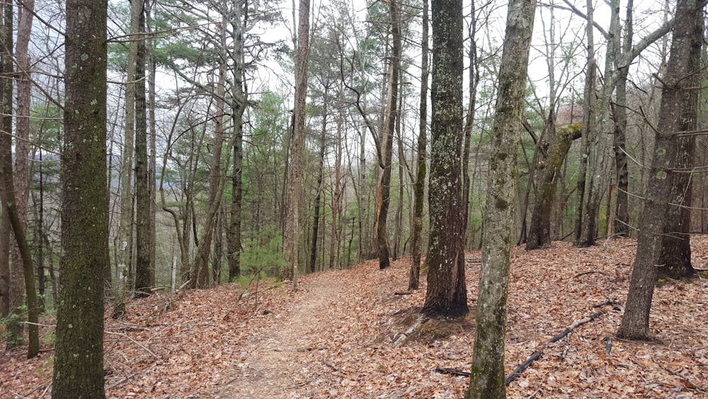
The southern terminus is located at Dennis Mill Road. Similar to Snake Creek Gap and several other trailheads, the large lot is suitable for several dozen cars or multiple horse trailers.
Camping opportunities are plentiful on this segment, and water is much more prevalent than it is to the south. Where the Pinhoti meets Peebles Lake Road, a connector trail leads hikers to Fort Mountain State Park. Multiple camping opportunities, a large group shelter, and reliable water make this an excellent detour for a longer thru-hike. Endless day hiking opportunities are also available, and a deep history rooted in Native American culture draws in countless visitors each year.
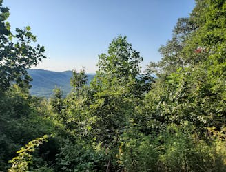
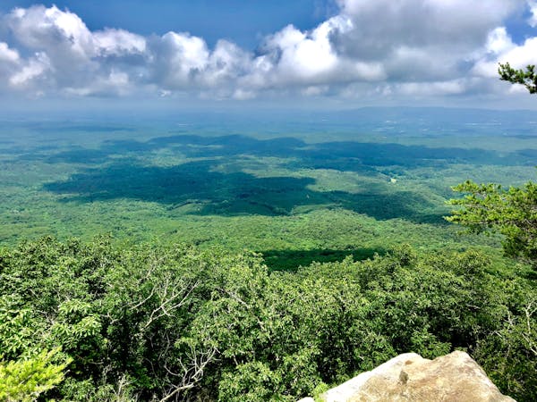
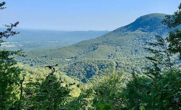
At GA-52 (Chatsworth Highway), the Pinhoti follows the road east, quickly spurring off before the Cohutta Overlook. The developed stone platform provides spectacular views year round and can also be accessed by car. For a day hike, begin at Mulberry Gap and hike to the overlook. Less than 8-miles round trip, this is an excellent opportunity to experience views of the Cohutta Mountains on foot.
The final portion of this segment is what mountain bikers refer to as "Pinhoti 3." The trail relentlessly climbs and descends over Turkey Mountain for two miles before following a series of switchbacks down into Mulberry Gap, where you'll find a small parking area suitable for a few cars.
Sources: https://gastateparks.org/FortMountain http://www.pinhoti.info/joomla/images/gptguide2013.pdf https://www.pjwetzel.com/2015/09/a-special-new-section-of-pinhoti-trail.html
Difficult
Hiking trails where obstacles such as rocks or roots are prevalent. Some obstacles can require care to step over or around. At times, the trail can be worn and eroded. The grade of the trail is generally quite steep, and can often lead to strenuous hiking.

The trail contains some obstacles such as outcroppings and rock which could cause injury.
Away from help but easily accessed.
9.4 km away
A summit hike atop Fort Mountain including a ~40 stone fire tower, lush overlook, and ruins of an ancient stone wall.
Moderate Hiking
9.4 km away
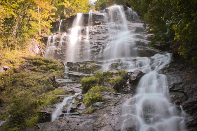
An 8-mile hiking loop with lush views, challenging terrain, and a waterfall.
Moderate Hiking
10 routes · Hiking
10 routes · Hiking
11 routes · Hiking · Trail Running