4.7 km away
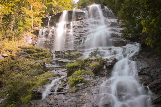
Emery Creek Falls
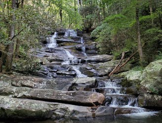
A magnificent two-part waterfall located deep in a former logging area.
Moderate Hiking
- Distance
- 7.3 km
- Ascent
- 227 m
- Descent
- 227 m
The northernmost segment of the Pinhoti, terminating at the Benton MacKaye Trail.
Hiking Difficult

Well known by mountain bikers, this northernmost portion of the Pinhoti Trail connects Mulberry Gap to its northern terminus. There, one could follow the Benton MacKaye Trail southeast to Springer Mountain, the official trailhead for the Appalachian Trail.
According to The Conservation Fund, "when the Appalachian Trail was mapped in the 1920s, the plan set out by Benton MacKaye called for a trail and associated spurs that stretched from Maine to northern Alabama. While the primary trail was completed to north Georgia in the 1930s, efforts to build the spur into Alabama faded."
This segment begins by connecting Pinhoti 3 to Pinhoti 2 via Mulberry Gap Road. There is limited parking along the road, with the best chance being near the bottom of Pinhoti 3.
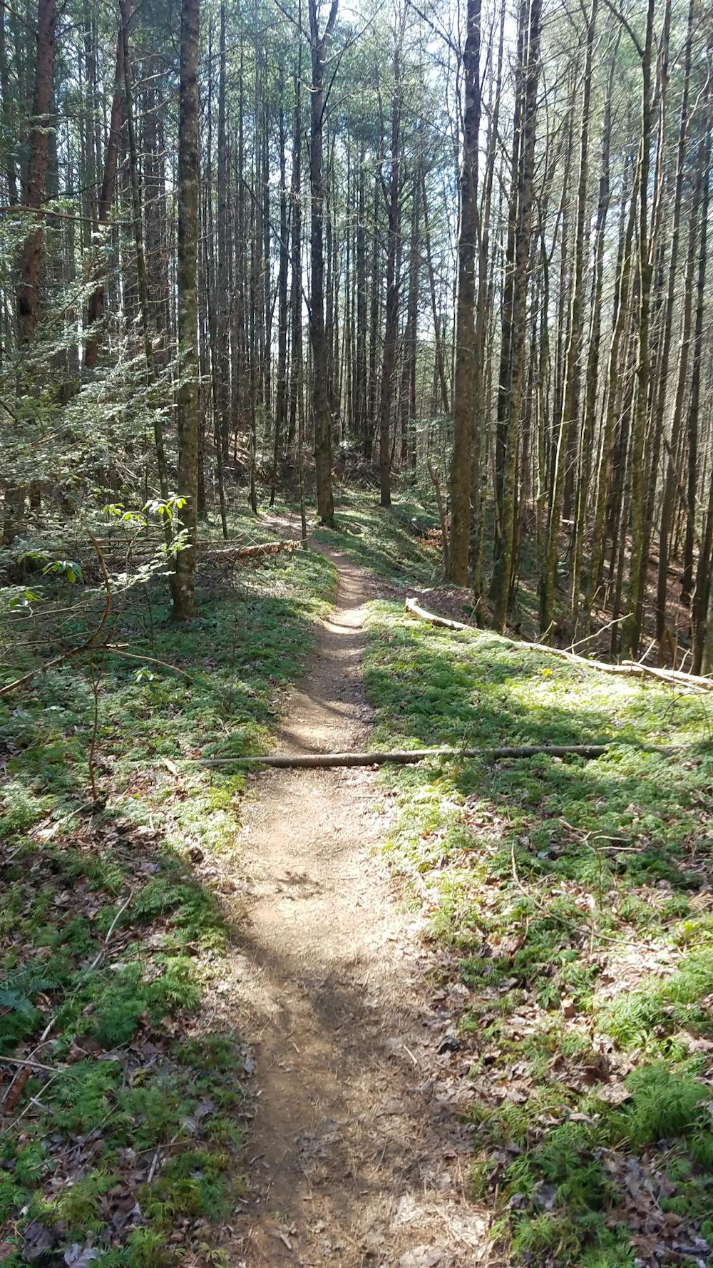
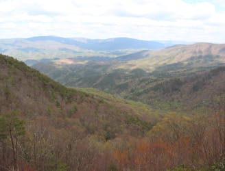
The hike begins with a long gradual ascent along a ridgeline, eventually skirting the summit of Double Top, nearing 2,200'. This portion of the trail can become difficult to navigate as the trail winds along old logging and forest service roads bound for Holly Creek Gap.
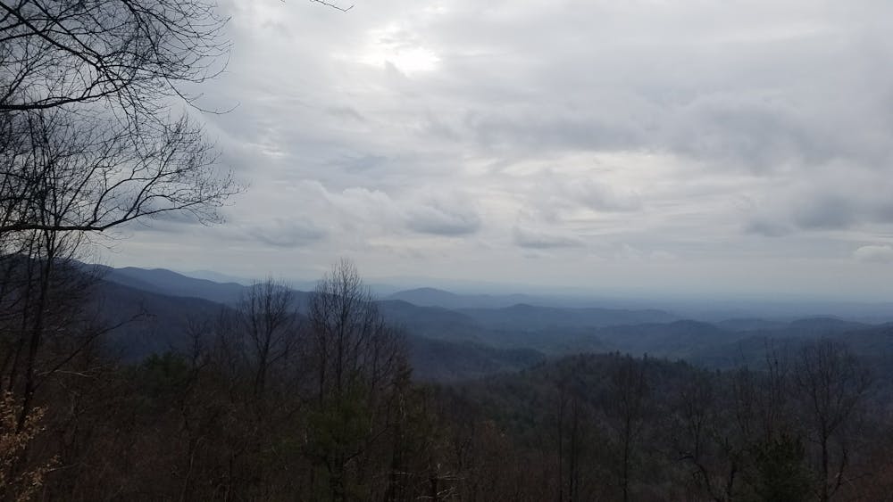
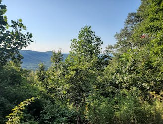
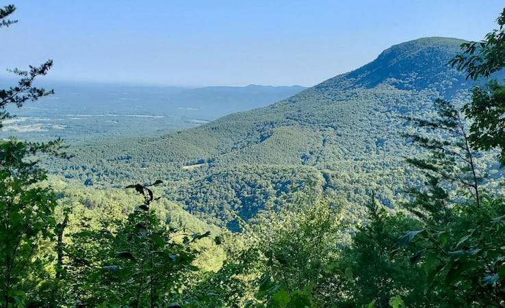
Crossing Wilderness Road, the Pinhoti leads into the next portion, known as Pinhoti 1 to most. As the trail relentlessly climbs and descends mountain contours, you should be able to snag some views of Flat Top Mountain to the northeast.
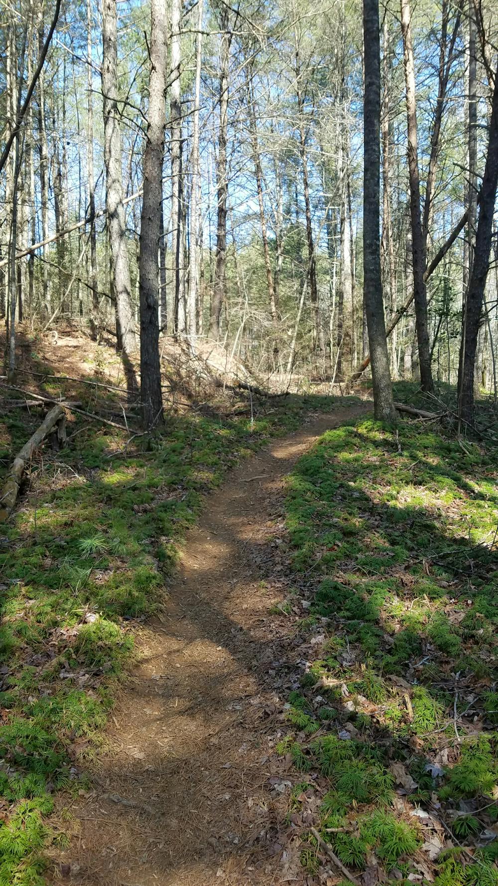
Ahead, the Pinhoti merges onto Bear Creek Trail before spurring onto Mountaintown Creek. Several water crossings line the steady climb, and one should use extra caution when fording them after a storm.
Just three miles from the northern terminus, the Pinhoti passes through Buddy Cove Gap, a seasonal access point with a large parking area.
At the junction with the South Fork Trail, one final hurdle lies ahead. To the left, a short spur leads to a small trailhead on Foster Branch Road. To the right, the South Fork of Jacks River must be forded. According to the Georgia Pinhoti Trail Association, the river is 40' wide and a 1' deep in normal conditions. Upon crossing the river, you will reach an intersection with the Benton MacKaye Trail and the northern terminus of the 330-mile-long Pinhoti.
Sources: http://www.pinhoti.info/joomla/images/gptguide2013.pdf https://www.conservationfund.org/projects/connecting-pinhoti-and-appalachian-trails
Difficult
Hiking trails where obstacles such as rocks or roots are prevalent. Some obstacles can require care to step over or around. At times, the trail can be worn and eroded. The grade of the trail is generally quite steep, and can often lead to strenuous hiking.

The trail contains some obstacles such as outcroppings and rock which could cause injury.

In the high mountains or remote conditions, all individuals must be completely autonomous in every situation.
4.7 km away
A magnificent two-part waterfall located deep in a former logging area.
Moderate Hiking
9.3 km away
An 8-mile hiking loop with lush views, challenging terrain, and a waterfall.
Moderate Hiking
9.7 km away
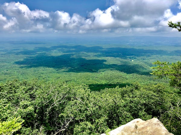
A summit hike atop Fort Mountain including a ~40 stone fire tower, lush overlook, and ruins of an ancient stone wall.
Moderate Hiking
10 routes · Hiking
10 routes · Hiking
11 routes · Hiking · Trail Running