2 m away
Winding Stair Loop
One of the most popular gravel rides in the North Georgia mountains.
Easy Mountain Biking
- Distance
- 32 km
- Ascent
- 919 m
- Descent
- 919 m
A beginner-friendly doubletrack ride in the North Georgia mountains.
Mountain Biking Easy

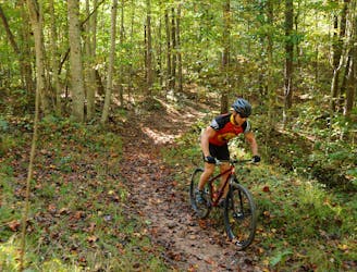
Mountain biking in the Appalachian Mountains is not easy. The climbs are steep, the roots are treacherous, and the rocks are unforgiving. So if you’re looking for an easy mountain bike ride near Dahlonega, look no further than this loop on the Montgomery Creek Trail!
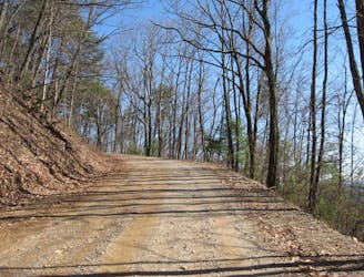
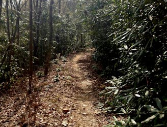
This loop combines a section of gated doubletrack forest road with a section of well-traveled, well-graded gravel road. There’s no true singletrack on the route as mapped, so competent gravel riders could very well pedal this loop on a drop-bar gravel bike. Of course, that would ratchet up the technical difficulty considerably.
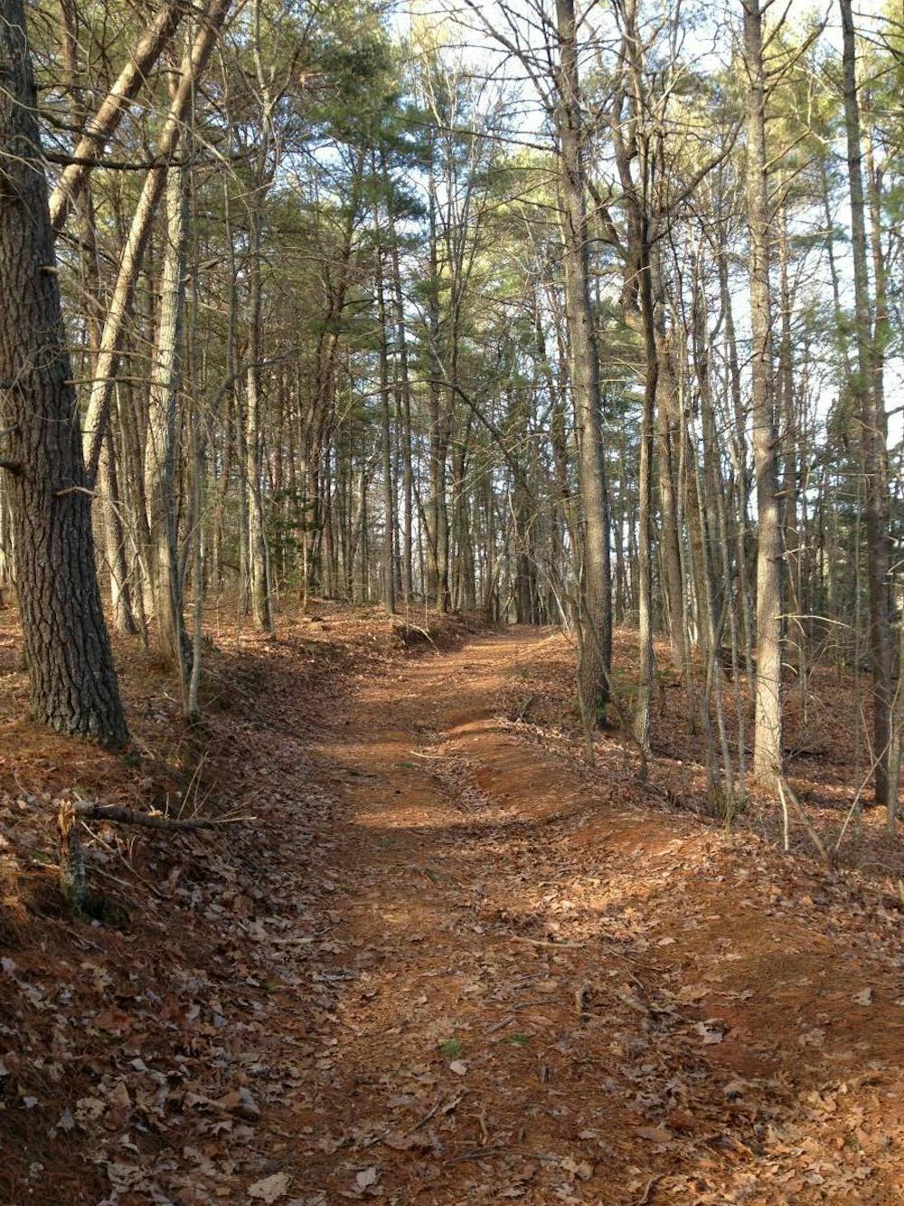
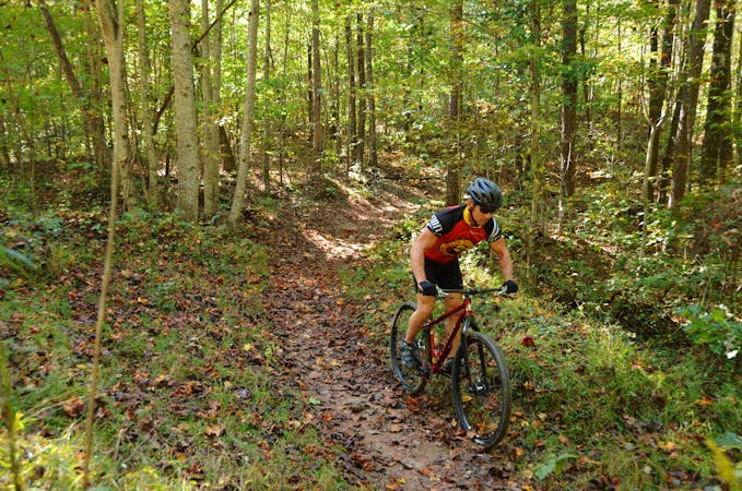
After leaving the trailhead, you’ll soon jump on the gated forest road and pedal away from all remnants of civilization. Soon, you’ll find yourself deep in the forest, climbing up short, steep hills and swooping down the backsides. While a few of the climbs on this loop can feel steep, none of the climbs are extended or extremely strenuous.
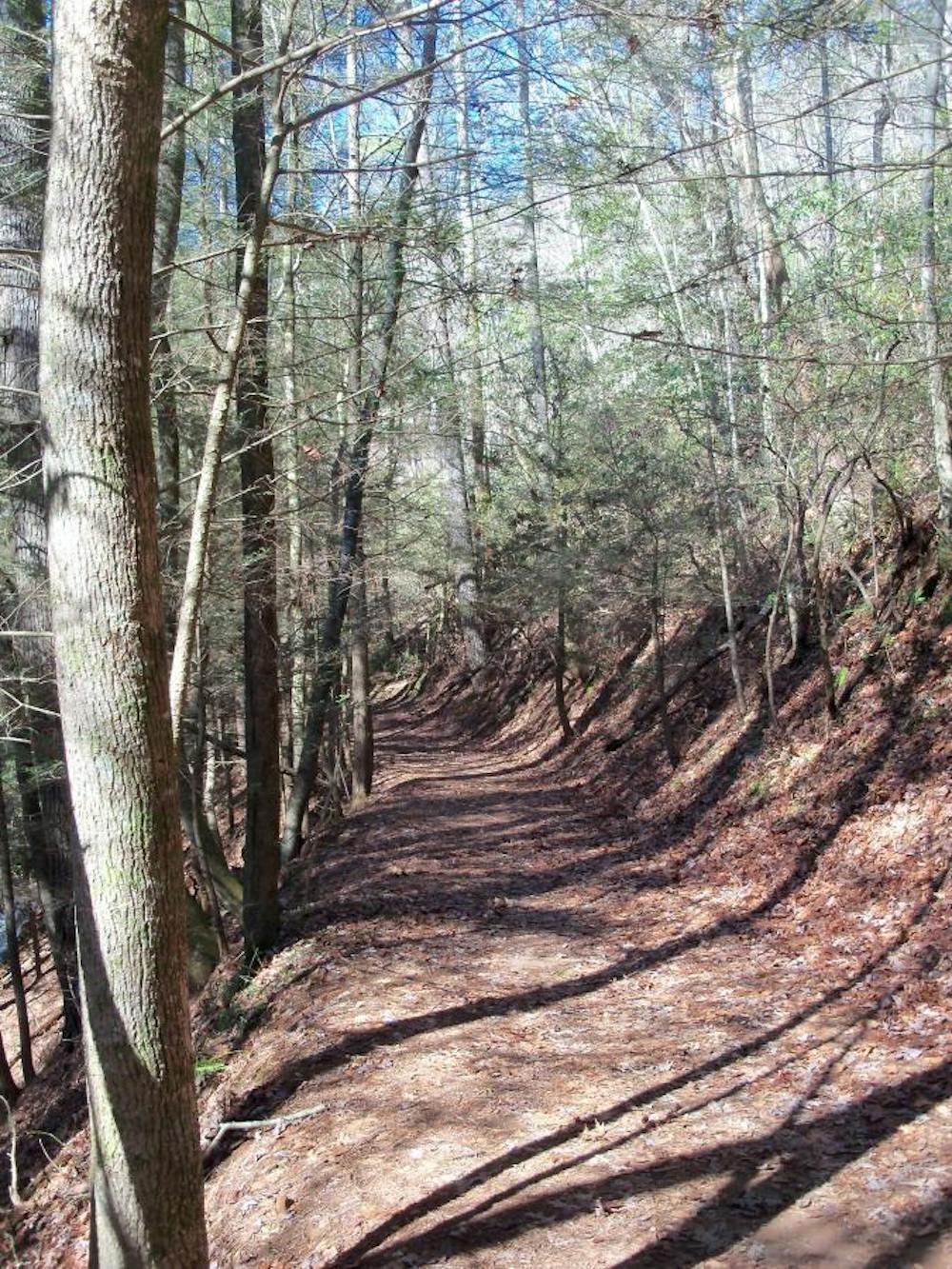
Some sections of the doubletrack can be eroded, rooty, and rough in places. However, since the trail tread is so wide, true beginners can generally avoid the most difficult portions. And it’s these same slightly-techy portions that can prove challenging on a gravel bike.
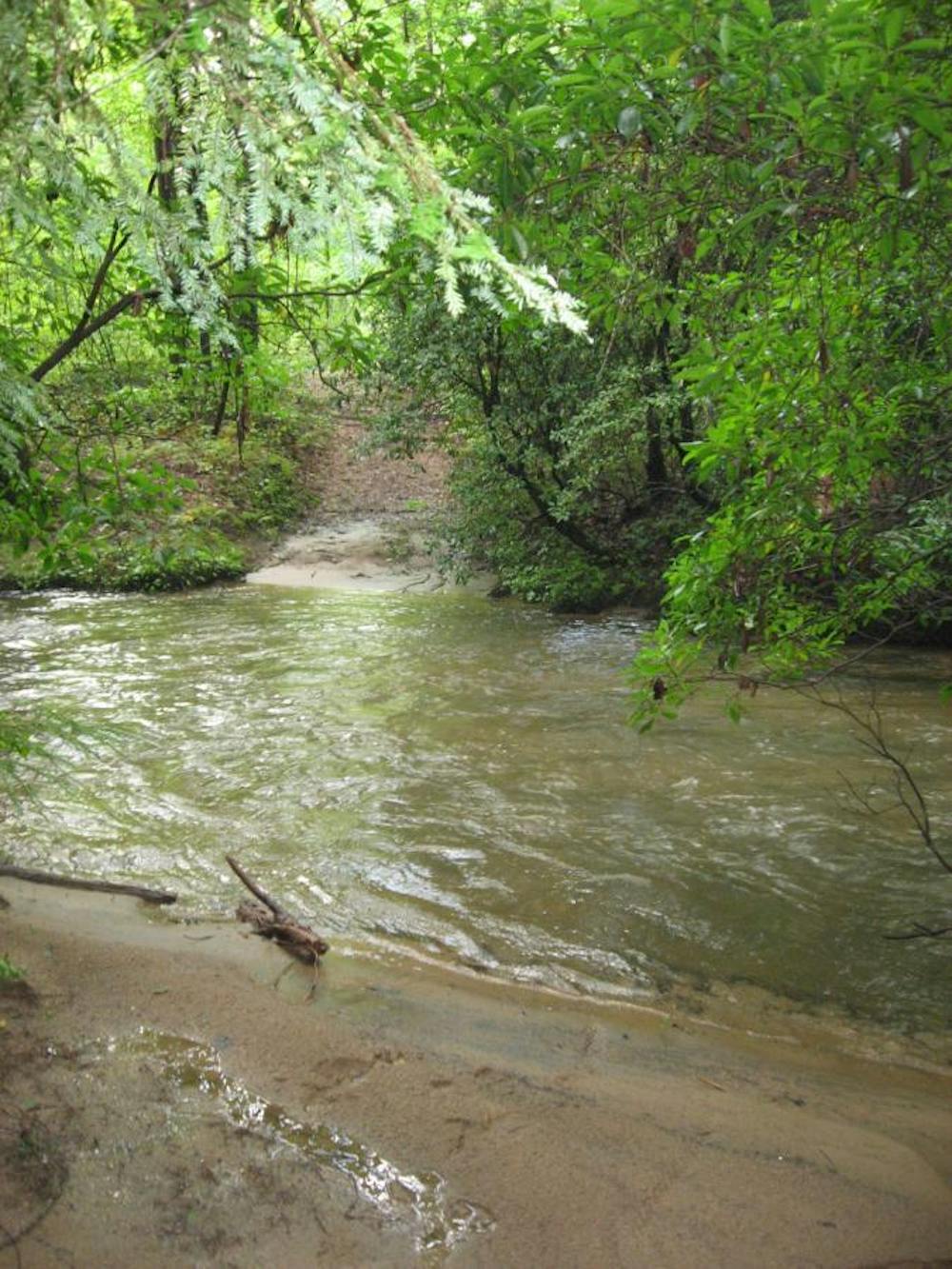
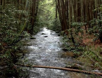
About halfway through the doubletrack portion of the ride, you’ll reach a deep creek crossing. At times in the past, bridges have been built across this creek, but they tend to wash away eventually. Whether or not you’ll find a bridge to cross depends on the year. So, anticipate that you will have to wade through the stream—it can often be knee-deep, or deeper. In the winter, this can be hypothermia-inducing, so exercise caution.
Once across the creek, you’ll slowly climb back to the main gravel road. Take a left on the gravel road and finish the rolling climb to return to the trailhead at the church.
Easy
Mostly smooth and non-technical singletrack with unavoidable obstacles 2in/5cm tall or less. Avoidable obstacles may be present. Ideal for beginner riders.

The path is on completely flat land and potential injury is limited to falling over.

Away from help but easily accessed.
2 m away
One of the most popular gravel rides in the North Georgia mountains.
Easy Mountain Biking
2 m away
A tough North Georgia gravel route that forms the basis for the popular Southern Cross race.
Easy Mountain Biking
7.4 km away
The Jake Mountain trails are fast and flowy, but the short, steep climbs will keep you honest.
Moderate Mountain Biking
7.4 km away
One of the original iconic mountain bike rides in the Southeastern US still ranks among the best!
Severe Mountain Biking
7.4 km away

Explore the southern reaches of the Appalachian Mountains on hard-packed Georgia clay in this IMBA Epic trail system.
Difficult Mountain Biking
6 routes · Mountain Biking · Gravel Biking

24 routes · Mountain Biking