4.1 km away
Green Mountain Loop
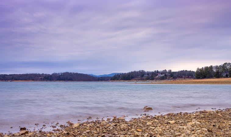
Flowy singletrack in the North Georgia mountains with views of Lake Blue Ridge.
Moderate Mountain Biking
- Distance
- 17 km
- Ascent
- 564 m
- Descent
- 564 m

This is a popular mountain biking route which is generally considered to be easy. It's an unknown remoteness, it features unknown exposure and is typically done in an unknown time of year. From a low point of 702 m to the maximum altitude of 1.2 km, the route covers 20 km, 808 vertical metres of ascent and 808 vertical metres of descent.
Doubletrack ride deep into the mountains, next to a wilderness area.
Easy
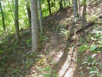
Mostly smooth and non-technical singletrack with unavoidable obstacles 2in/5cm tall or less. Avoidable obstacles may be present. Ideal for beginner riders.
4.1 km away
Flowy singletrack in the North Georgia mountains with views of Lake Blue Ridge.
Moderate Mountain Biking
4.1 km away

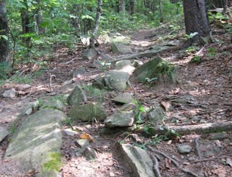
Old school tech flow singletrack that provides a mellower ride than nearby Stanley Gap.
Difficult Mountain Biking
4.1 km away
A steep, challenging backcountry epic.
Severe Mountain Biking
3 routes · Mountain Biking