4.1 km away
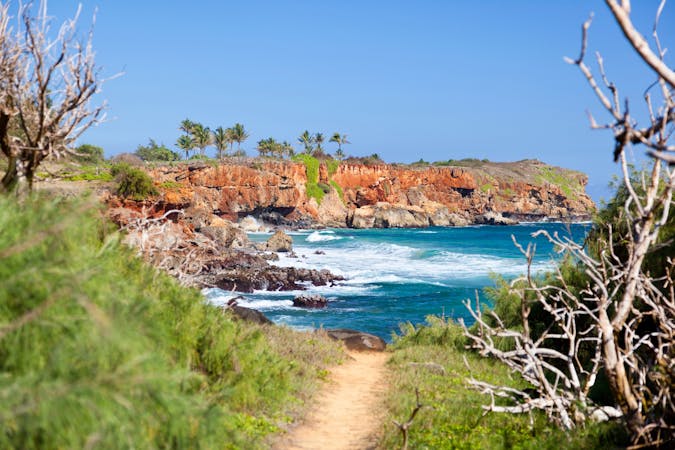
Waimea Canyon Rim Trail

A spectacular hike along the rim of the "Grand Canyon of the Pacific."
Difficult Hiking
- Distance
- 6.8 km
- Ascent
- 423 m
- Descent
- 423 m
A popular hike to a spectacular overlook of the Pacific Ocean.
Hiking Difficult

On the beautiful island of Kauai, you'll find the famous Awa'awapuhi Trail, which leads to a spectacular overlook of the Pacific Ocean from the top of a mountain ridge. Located in Koke'e State Park, Awa'awapuhi is generally considered to be a moderate trail compared to others on the Hawaiian islands, but Hawaii is known for its challenging hiking trails. This stunning hike covers 5.8 miles round trip and climbs a total of ~1,800 vertical feet, meaning that even if many people hike this trail, it's still no joke!

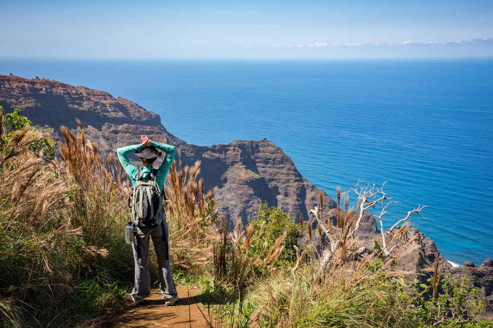
The trail itself is rooty and rocky, and thanks to the frequent rains, the dirt is often muddy and slick. You'll need to watch your footing carefully, especially immediately after a rain. However, if you persist, you'll be rewarded with breathtaking vistas, dramatic cliffs, and the solitude of the deep, dark rainforest. Awa'awapuhi is a true gem!
Sources: https://www.hawaii-guide.com/kauai/hiking-trails/awaawapuhitrail https://travelhawaiiwithus.com/awaawapuhi-trail-kauai-hike/ https://www.kauai.com/awaawapuhi-trail https://dlnr.hawaii.gov/dsp/hiking/kauai/awaawapuhi-trail/
Difficult
Hiking trails where obstacles such as rocks or roots are prevalent. Some obstacles can require care to step over or around. At times, the trail can be worn and eroded. The grade of the trail is generally quite steep, and can often lead to strenuous hiking.

Some trail sections have exposed ledges or steep ascents/descents where falling could cause serious injury.

Away from help but easily accessed.
4.1 km away
A spectacular hike along the rim of the "Grand Canyon of the Pacific."
Difficult Hiking
10 routes · Hiking