5 m away
Cramer Lakes and Cramer Divide
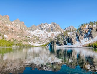
Backcountry camping at serene alpine lakes, and an extension to a high pass in the heart of the range.
Difficult Hiking
- Distance
- 30 km
- Ascent
- 1.1 km
- Descent
- 1.1 km
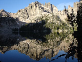
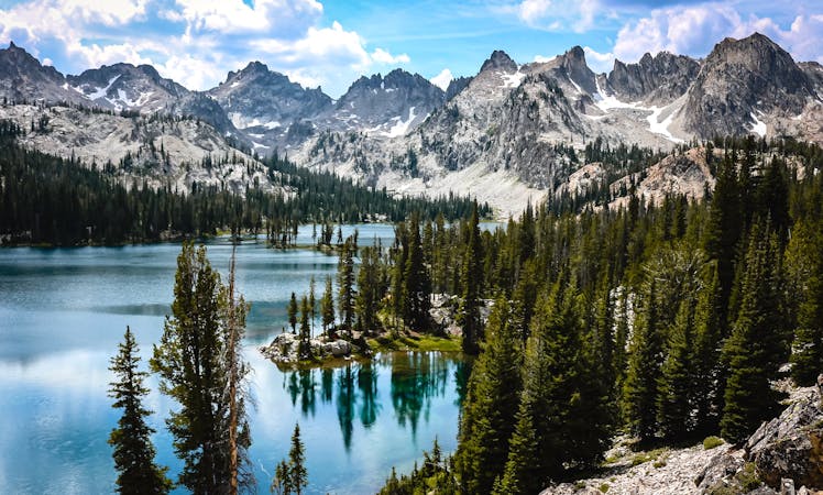
Beautiful alpine lakes in the sawtooth range.
Hiking Difficult

This is a popular hiking route which is generally considered to be difficult. It's very remote, it features low exposure and is typically done between May and September. From a low point of 2 km to the maximum altitude of 2.6 km, the route covers 6.6 km, 606 vertical metres of ascent and 49 vertical metres of descent.
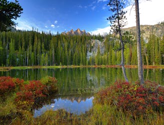
Take a boat ride to the Redfish Campground, then take a 4 mile hike in and stay the night, or do 8.2 miles round trip.
Difficult
Hiking trails where obstacles such as rocks or roots are prevalent. Some obstacles can require care to step over or around. At times, the trail can be worn and eroded. The grade of the trail is generally quite steep, and can often lead to strenuous hiking.

The path is on completely flat land and potential injury is limited to falling over.

Little chance of being seen or helped in case of an accident.
5 m away
Backcountry camping at serene alpine lakes, and an extension to a high pass in the heart of the range.
Difficult Hiking
11 m away
Popular hike from Redfish Lake, over a high pass, into an alpine basin with dramatic views and excellent backcountry campsites.
Difficult Hiking
5.9 km away
With a boat shuttle, you can hike the length of Redfish Lake and see smaller, higher alpine lakes along the way.
Moderate Hiking
5.9 km away
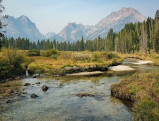
Family-friendly stoll along a mountain creek, ending at an incredible view of the Sawtooths.
Moderate Hiking
8 routes · Hiking