2.4 km away
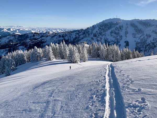
Mores Mountain: East Face
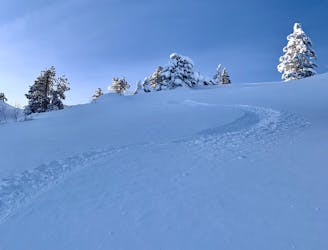
Quick ski tour from Bogus Basin, on the remote-feeling east side of Mores Mountain.
Difficult Ski Touring
- Distance
- 2.9 km
- Ascent
- 224 m
- Descent
- 222 m
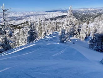
A classic mini tour in the Bogus Basin sidecountry.
Ski Touring Moderate

Bob’s Knob is the name given to a pair of cliffs east of Bogus Basin, easily visible from anywhere in the Pine Creek zone of the resort. Though not apparent from all angles, there is a cleft between the outcrops that’s veiled by trees. The standard line is to ski this little tree chute, but there are various options to explore in the vicinity of Bob’s.
Get there by leaving the resort at backcountry gate #2, just above the run Lower Nugget. Skin up the obvious road cut until it runs out, then continue up into a grove of spruce near the crest of the ridge. In a short distance, the rocks will appear to your left, then you can find the gap between the two pinnacles. It’s a steep little shot that runs into the woods, so be cautious of snow conditions before you drop. Even though it’s a seemingly sheltered alcove, wind slabs have been known to release and strain through the trees.
Alternatives are the slopes on either side of the rock formations, which are more vegetated and likely to be more stable. If you do ski the notch on Bob’s, you’ll enjoy just a couple of steeper turns before it becomes tree skiing. Then you’ll pick your way through the natural glade until you pop out on the cat track below. This will take you down to Pine Creek chair.
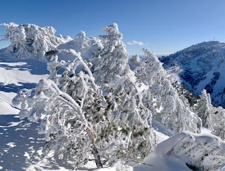
Moderate
Slopes become slightly steeper at around 25-30 degrees.

Exposure is limited to that of the slope itself. Getting hurt is still likely if the slope is steep and/or the snow is hard.

Away from help but easily accessed.
2.4 km away
Quick ski tour from Bogus Basin, on the remote-feeling east side of Mores Mountain.
Difficult Ski Touring
2.4 km away
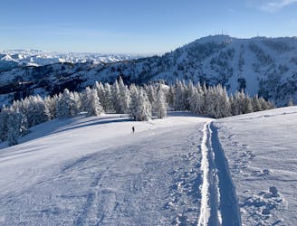
A fun little backcountry tour that can be lapped all day with help from the chairlift.
Moderate Ski Touring
2.4 km away
A mellow slackcountry tour from Bogus Basin.
Easy Ski Touring
2.4 km away
Short tour from Bogus with potential for some stout lines.
Difficult Ski Touring
3.6 km away

One way to skin up to Deer Point from Bogus Basin Road.
Moderate Ski Touring
7 routes · Resort Ski Touring · Ski Touring