3.6 km away
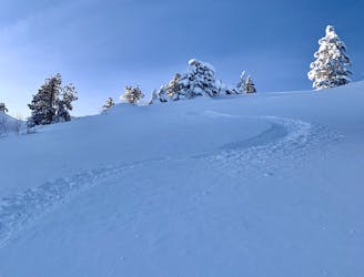
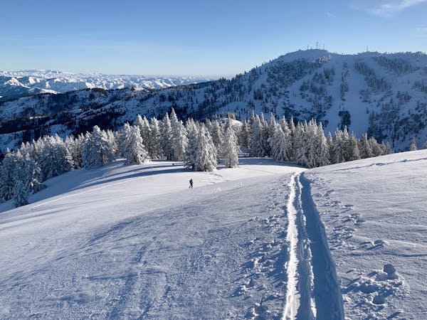
Bob's Knob

A classic mini tour in the Bogus Basin sidecountry.
Moderate Ski Touring
- Distance
- 952 m
- Ascent
- 82 m
- Descent
- 153 m
One way to skin up to Deer Point from Bogus Basin Road.
Ski Touring Moderate

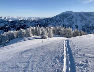
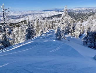
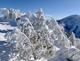
Deer Point is the hilltop with all the radio towers, visible from many points along the drive to Bogus Basin. With lift access on one side and the road traversing beneath, Deer Point makes the main sidecountry zone of the ski resort. Most people stick with descending the west slopes down to the road, but there is more to explore if you go out for a proper ski tour.
The approach mapped here begins from a pullout on Bogus Basin Road. If there’s no parking then you may have to start from elsewhere. An alternative is to park in the main resort lot and use the inbounds up-track to Deer Point. However, the advantage of this backcountry route is that you can scout lines on either side of the ridge on your way up.
Once up on the shoulder of Deer Point, you can choose to ski the popular west side back to the road, or you could check out the Dry Creek drainage on the other side. That aspect has some steeper south-facing chutes that can be really good on a powder day or in corn condition. Another option is to continue over Deer Point toward Doe Point and the mellow terrain of Clear Creek drainage to the east. The rolling ridgetop and sparse trees make it easy to cover some ground, so you can poke around to find your ideal line to ski.
Moderate
Slopes become slightly steeper at around 25-30 degrees.

Exposure is limited to that of the slope itself. Getting hurt is still likely if the slope is steep and/or the snow is hard.

Away from help but easily accessed.
3.6 km away
A classic mini tour in the Bogus Basin sidecountry.
Moderate Ski Touring
4.1 km away
Quick ski tour from Bogus Basin, on the remote-feeling east side of Mores Mountain.
Difficult Ski Touring
4.1 km away
A mellow slackcountry tour from Bogus Basin.
Easy Ski Touring
4.1 km away
A fun little backcountry tour that can be lapped all day with help from the chairlift.
Moderate Ski Touring
4.1 km away
Short tour from Bogus with potential for some stout lines.
Difficult Ski Touring
7 routes · Resort Ski Touring · Ski Touring