Agassiz Rock Trail
Boston
Loop to the Agassiz Rocks
Hiking Moderate
- Distance
- 1.3 km
- Ascent
- 44 m
- Descent
- 44 m
- Duration
- 0-1 hrs
- Low Point
- 19 m
- High Point
- 47 m
- Gradient
- 5˚
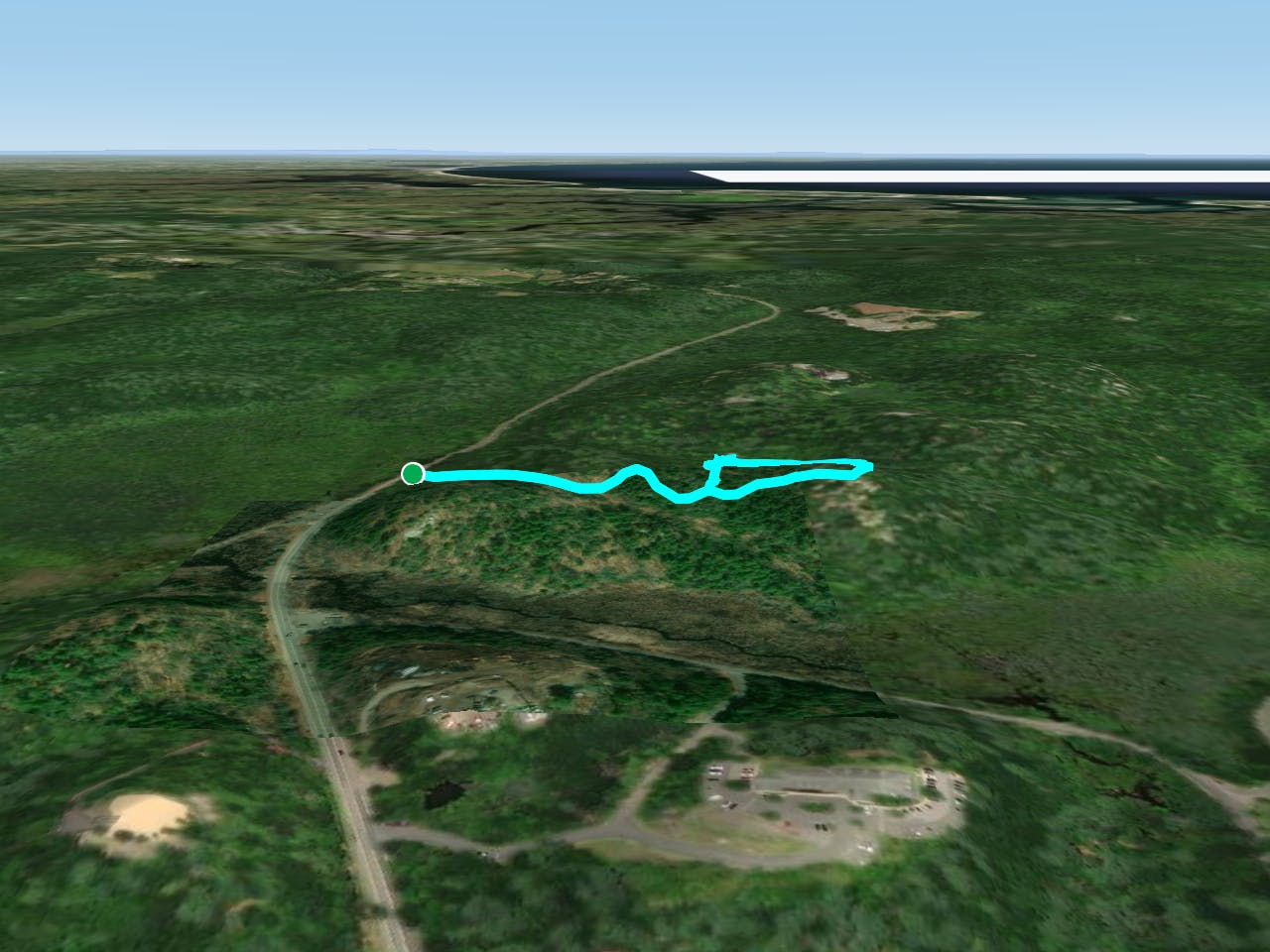
This is a popular hiking route which is generally considered to be moderate. It's remote, it features medium exposure and is typically done between April and November. From a low point of 19 m to the maximum altitude of 47 m, the route covers 1.3 km, 44 vertical metres of ascent and 44 vertical metres of descent.
Description
A loop trail located near Essex, MA that features beautiful wild flowers. The trail is primarily used for hiking, horses, and mountain biking. Dogs must be kept on leash.
Difficulty
Moderate
Hiking along trails with some uneven terrain and small hills. Small rocks and roots may be present.
Medium Exposure

The trail contains some obstacles such as outcroppings and rock which could cause injury.
Remoteness
Away from help but easily accessed.
Best time to visit
Features
- Wildlife
- Picturesque
- Summit Hike
- Dog friendly
- Wild flowers
- Family friendly
- Forestry or heavy vegetation