Ashuwillticook Rail Trail
A long, varied and easy stroll through some charming countryside
Hiking Easy
- Distance
- 22 km
- Ascent
- 68 m
- Descent
- 143 m
- Duration
- 4-5 hrs
- Low Point
- 227 m
- High Point
- 310 m
- Gradient
- 1˚

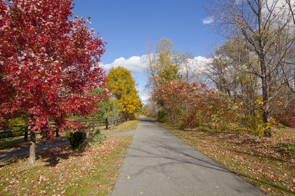
Stretching for approximately 11 miles, the Ashuwillticook Rail Trail winds its way through the charming Berkshire region, passing through the towns of Cheshire, Lanesborough, and Adams. The trail follows the path of a former railroad line, offering a flat and easily accessible route for walkers, runners, cyclists, and even rollerbladers. The wide pathway accommodates both recreational users and commuters, with plenty of space for cyclists and pedestrians to share the trail safely.
Description
As you travel along the Ashuwillticook Rail Trail, you'll be treated to stunning views of the Berkshire Hills, lush forests, and tranquil bodies of water.
The trail offers several access points and parking areas, making it easy to start your adventure from various locations along the route. Amenities such as restrooms, picnic tables, and interpretive signage are available at select points along the trail, further enhancing the overall visitor experience.
Whether you're seeking a leisurely stroll, a brisk bike ride, or a peaceful retreat into nature, the Ashuwillticook Rail Trail has something for everyone to enjoy.
Difficulty
Easy
Walking along a well-kept trail that’s mostly flat. No obstacles are present.
Low Exposure

The path is on completely flat land and potential injury is limited to falling over.
Remoteness
Close to help in case of emergency.
Best time to visit
Features
- Wildlife
- Historical
- Picturesque
- Family friendly