Boston Walking City Trail Stage 3
Boston
Jamaica Pool to the Charles River
Hiking Moderate
- Distance
- 9.9 km
- Ascent
- 109 m
- Descent
- 125 m
- Duration
- 2-3 hrs
- Low Point
- 1 m
- High Point
- 61 m
- Gradient
- 4˚

Despite passing through a developed part of Boston, the hike today somehow manages to link together a surprising amount of green space.
Description
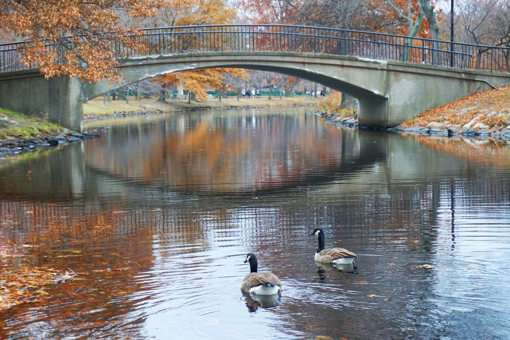
The first task of the day is to follow the trail to the boardwalk around Ward's Pond and using this to access Olmstead Park. We've drawn the line taking the shortest route possible to the next major landmarks - the Jefferson and McLaughlin playgrounds - but taking the time to detour to the northern section of Olmsted Park and walking around Leverett Pond is highly recommended.
Regardless of whether or not you detour, head past the somewhat disconcerting sight of some puddingstone boulders and on to the gravel track which winds alongside the Muddy River. Follow the track as it passes a series of parks and playgrounds, and the legendary Fenway Park baseball stadium, before reaching the banks of the Charles River.
Sources -
Difficulty
Moderate
Hiking along trails with some uneven terrain and small hills. Small rocks and roots may be present.
Low Exposure

The path is on completely flat land and potential injury is limited to falling over.
Remoteness
Close to help in case of emergency.
Best time to visit
Features
- Wildlife
- Picturesque
- Dog friendly
- Family friendly