Cape Ann 20 Mile Loop
Boston
20 Mile Hike around Cape Ann
Hiking Moderate
- Distance
- 32 km
- Ascent
- 524 m
- Descent
- 523 m
- Duration
- 7-8 hrs
- Low Point
- 16 m
- High Point
- 64 m
- Gradient
- 4˚

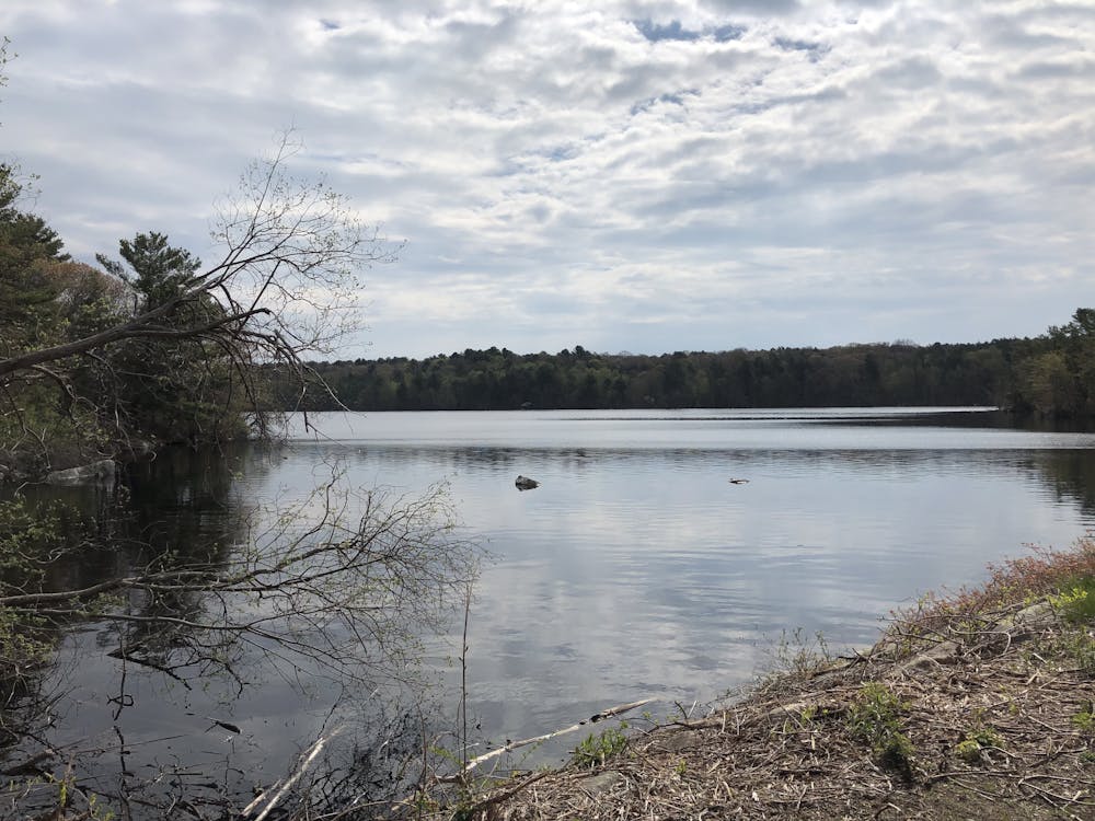
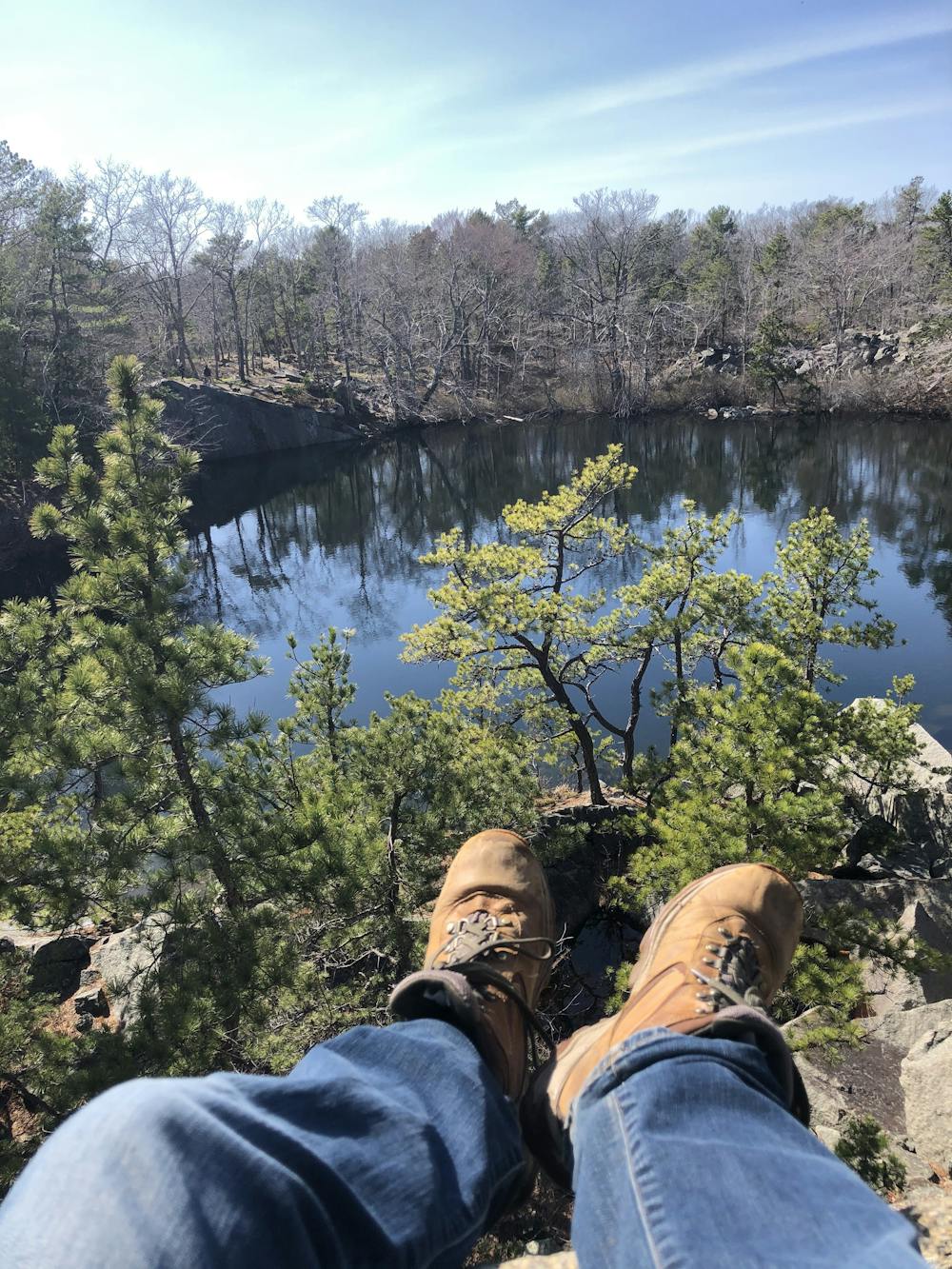
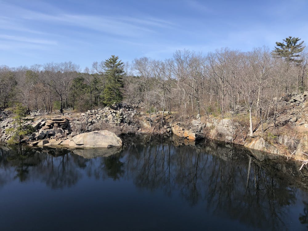
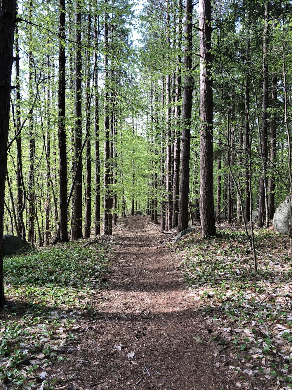
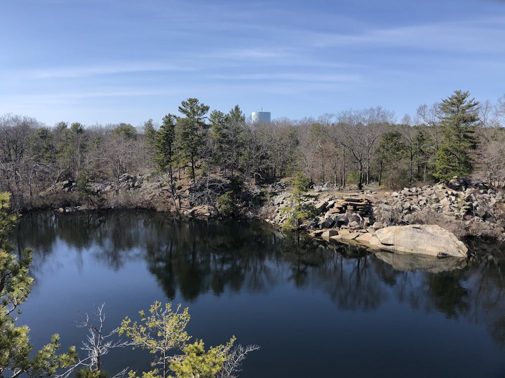
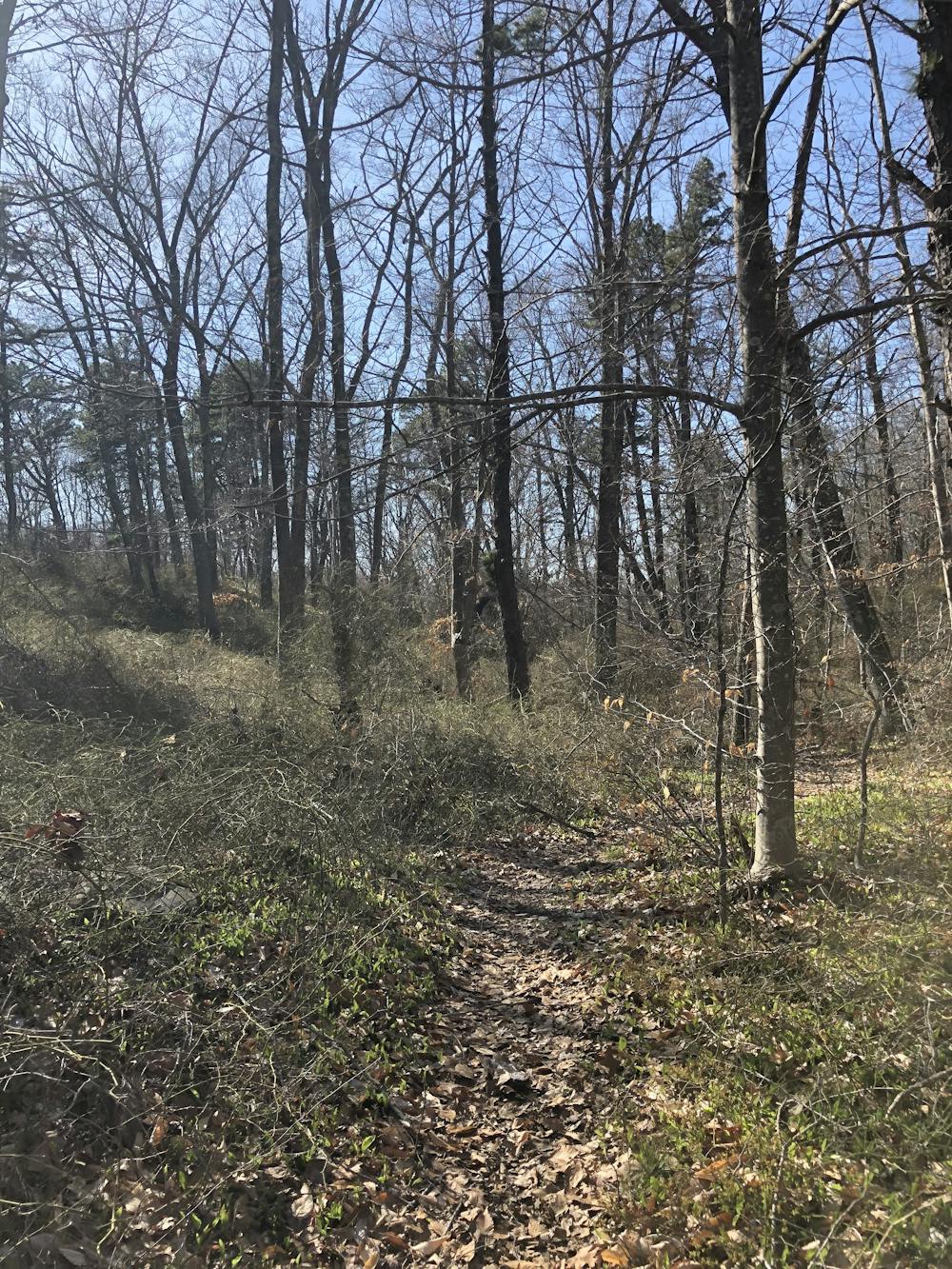
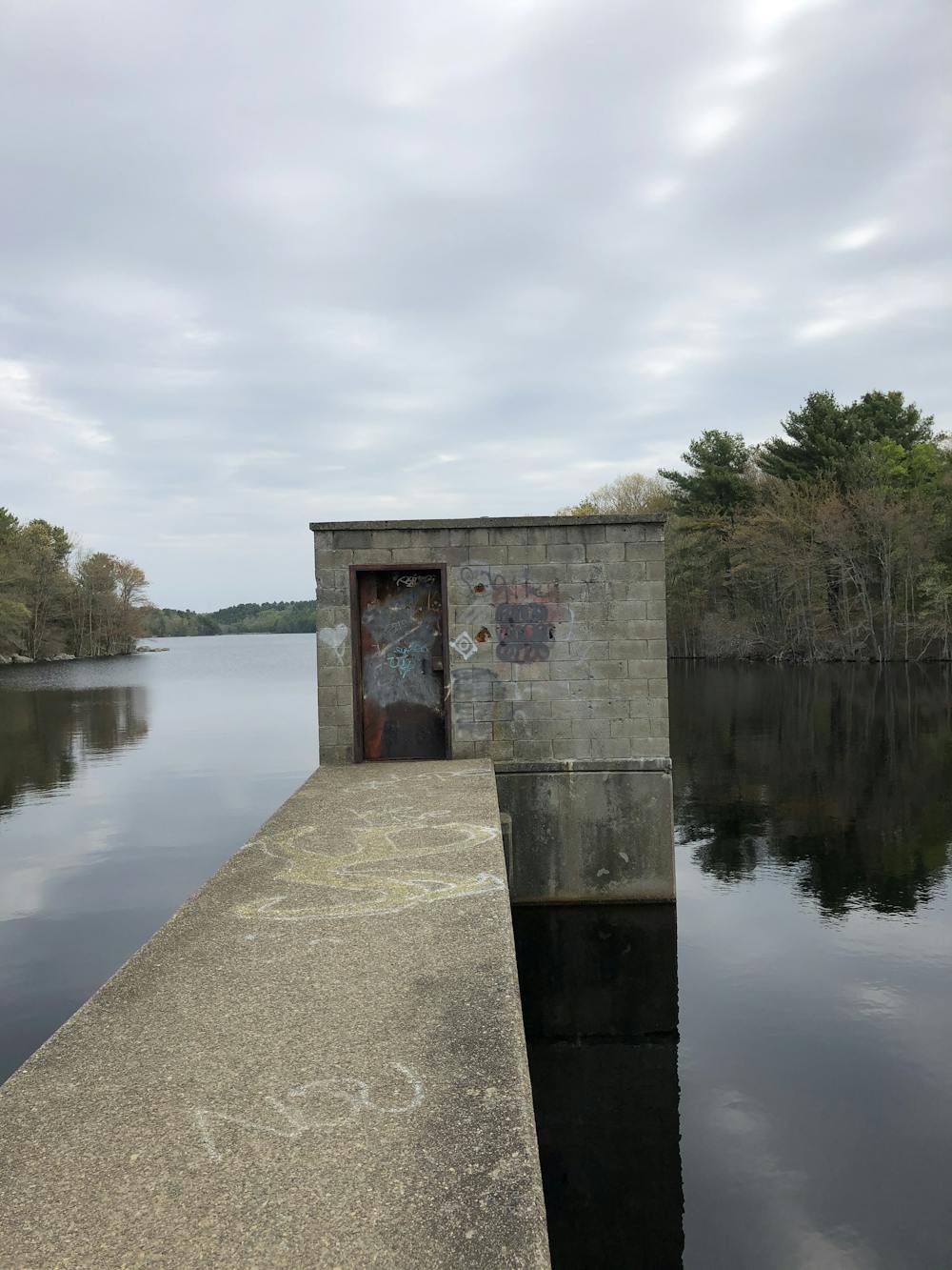
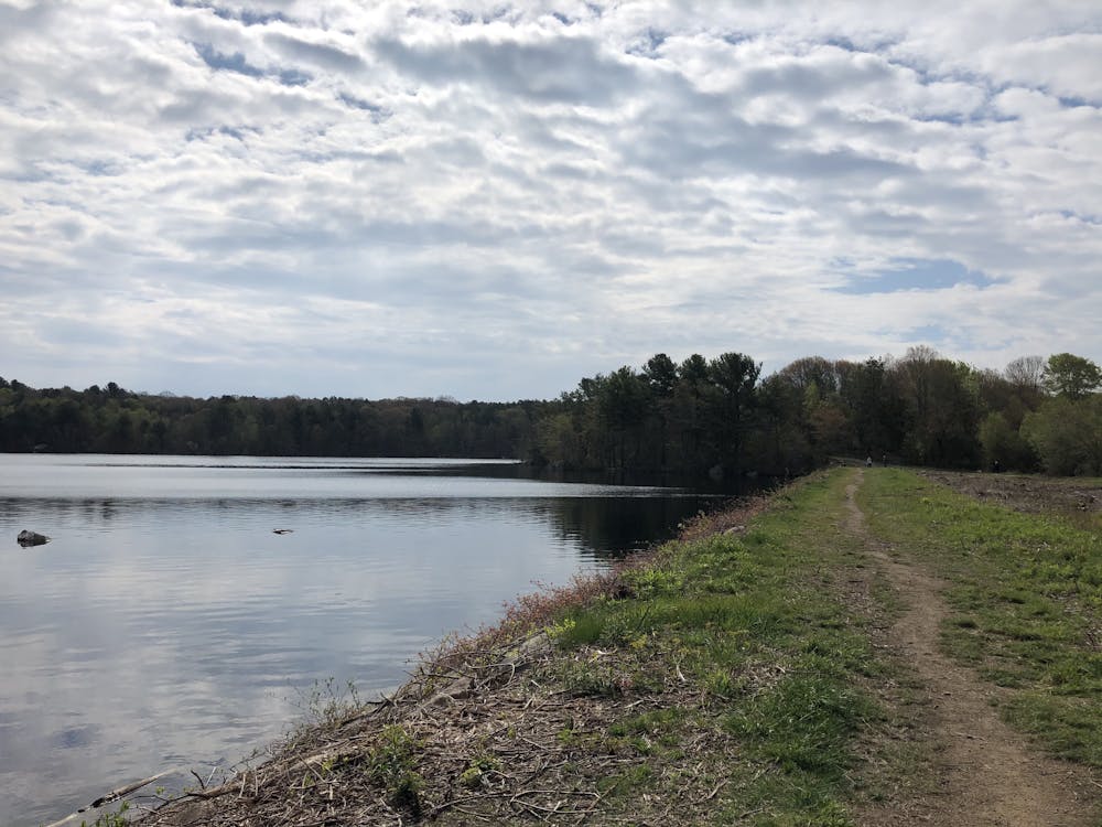
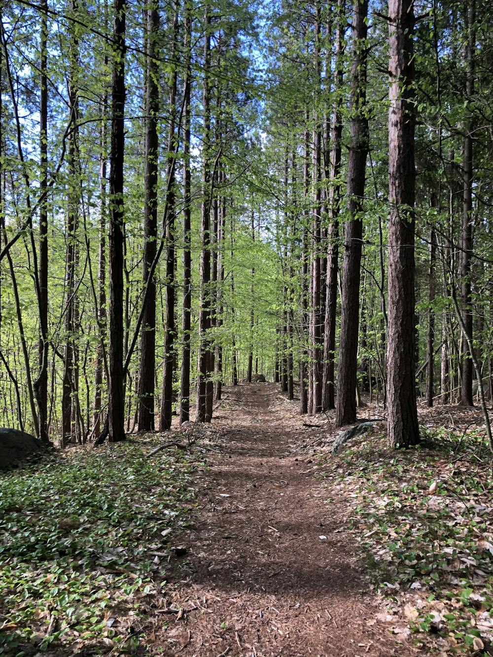
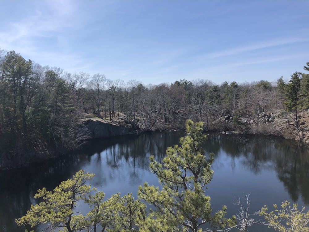
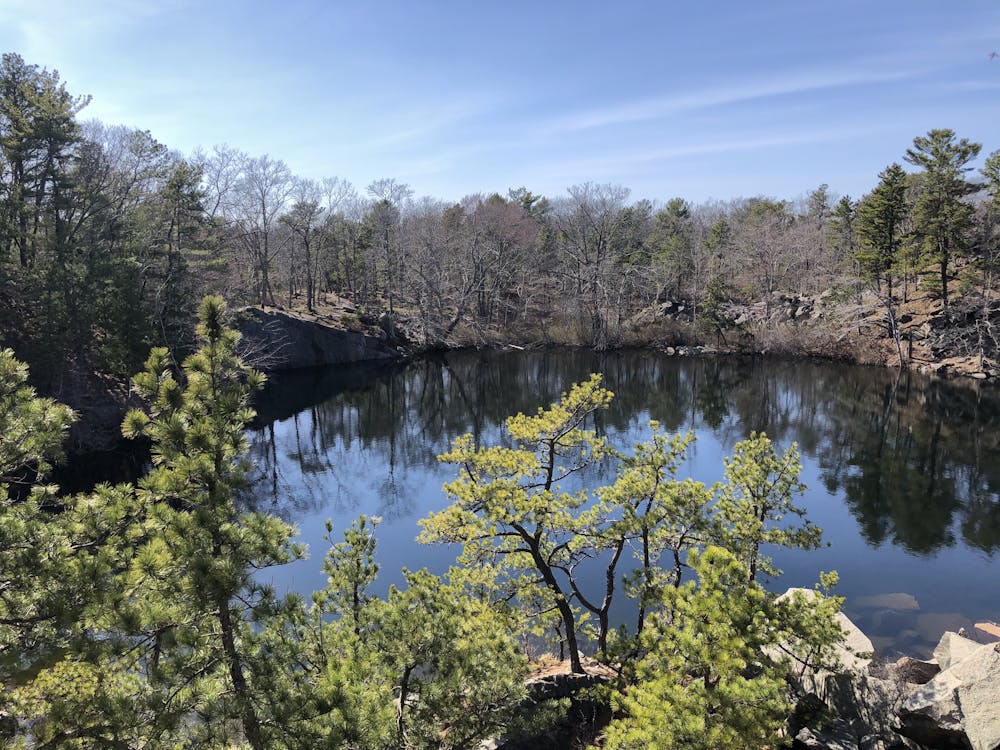
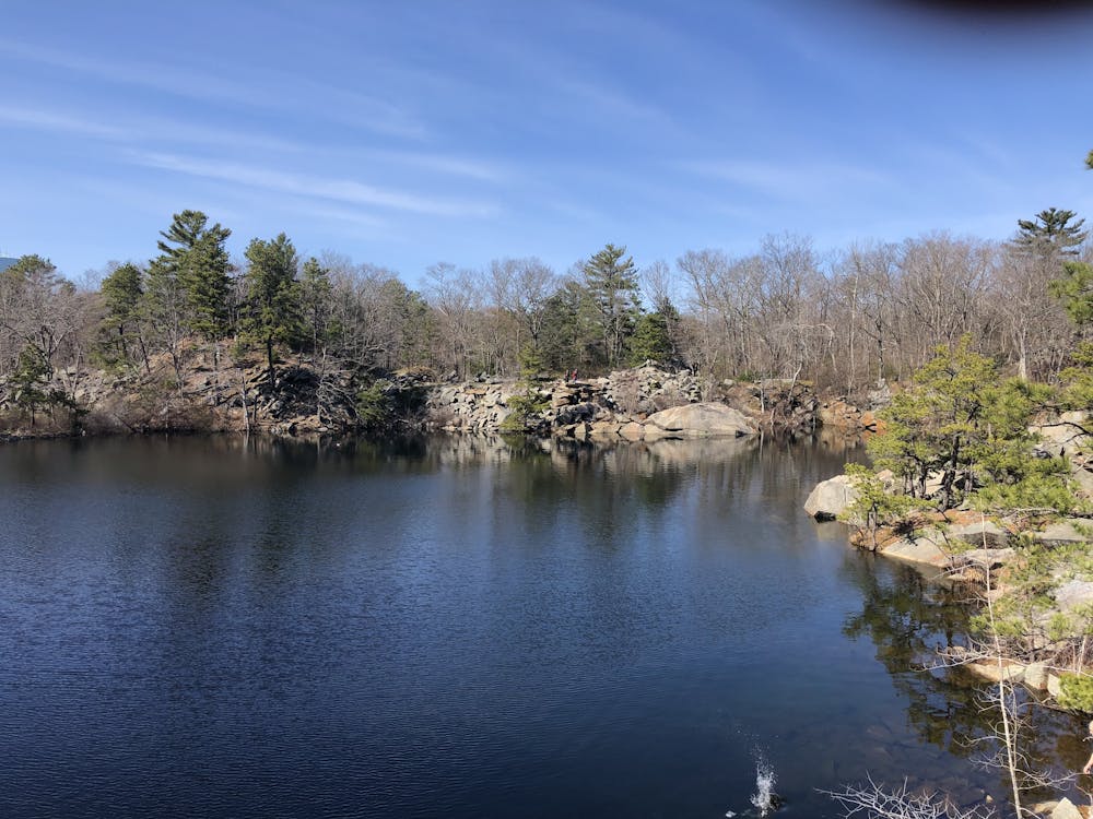
20 Mile Loop around Cape Ann Staring at Natti woods, down to Dogtown, across 127, around Cape Pond, up to High Rock, up to Vernon, Nelson, and Blood Ledge Quarry along with other quarry's in the area. The trails vary in condition depending on where you are in the hike. Overall it is a fairly easy hike, but it does have it's steep rocky sections (most of which are right of 127).
- •
- •
- •
- •
- •
- •
- •
- •
- •
- •
- •
- •
Difficulty
Moderate
Hiking along trails with some uneven terrain and small hills. Small rocks and roots may be present.
Medium Exposure

The trail contains some obstacles such as outcroppings and rock which could cause injury.
Remoteness

Close to help in case of emergency.
Best time to visit
Features
- Wildlife
- Forestry or heavy vegetation