1 m away
Keweenaw Point Gravel Ride
A rough gravel road leads to an incredible view on the end of Keweenaw Point.
Easy Mountain Biking
- Distance
- 33 km
- Ascent
- 456 m
- Descent
- 456 m
A fantastic cross-country singletrack trail leads to the very tip of the Keweenaw Peninsula.
Mountain Biking Difficult

The town of Copper Harbor lies at the northern end of the Keweenaw Peninsula, which itself is an outcropping off of Michigan's Upper Peninsula. If you look at it on FATMAP, you'll notice that as a result, Copper Harbor is almost entirely surrounded by water!
Being located at the end of a peninsula off of a peninsula means that Copper Harbor is literally at the end of the road: US Highway 41 ends just a couple miles beyond downtown Copper Harbor, near Fort Wilkins Historic State Park. However, you still won't have quite reached the very, very tip of the Keweenaw Peninsula just yet. After that pavement ends, you have two choices to reach Keweenaw Point: a rocky, rutted-out 4x4 road or a new singletrack trail.
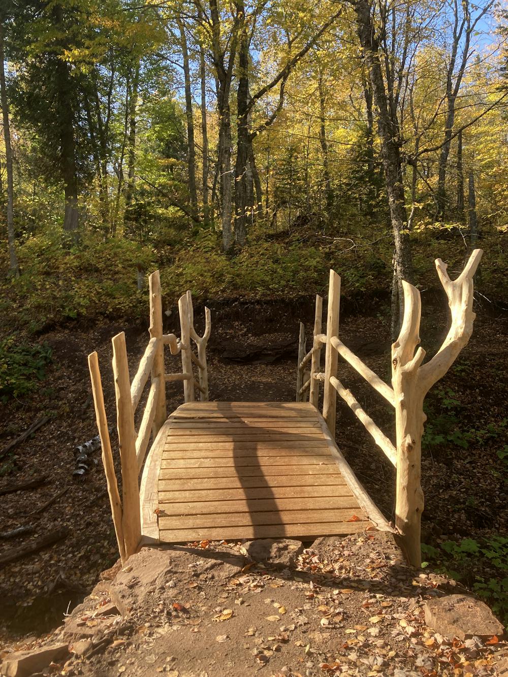
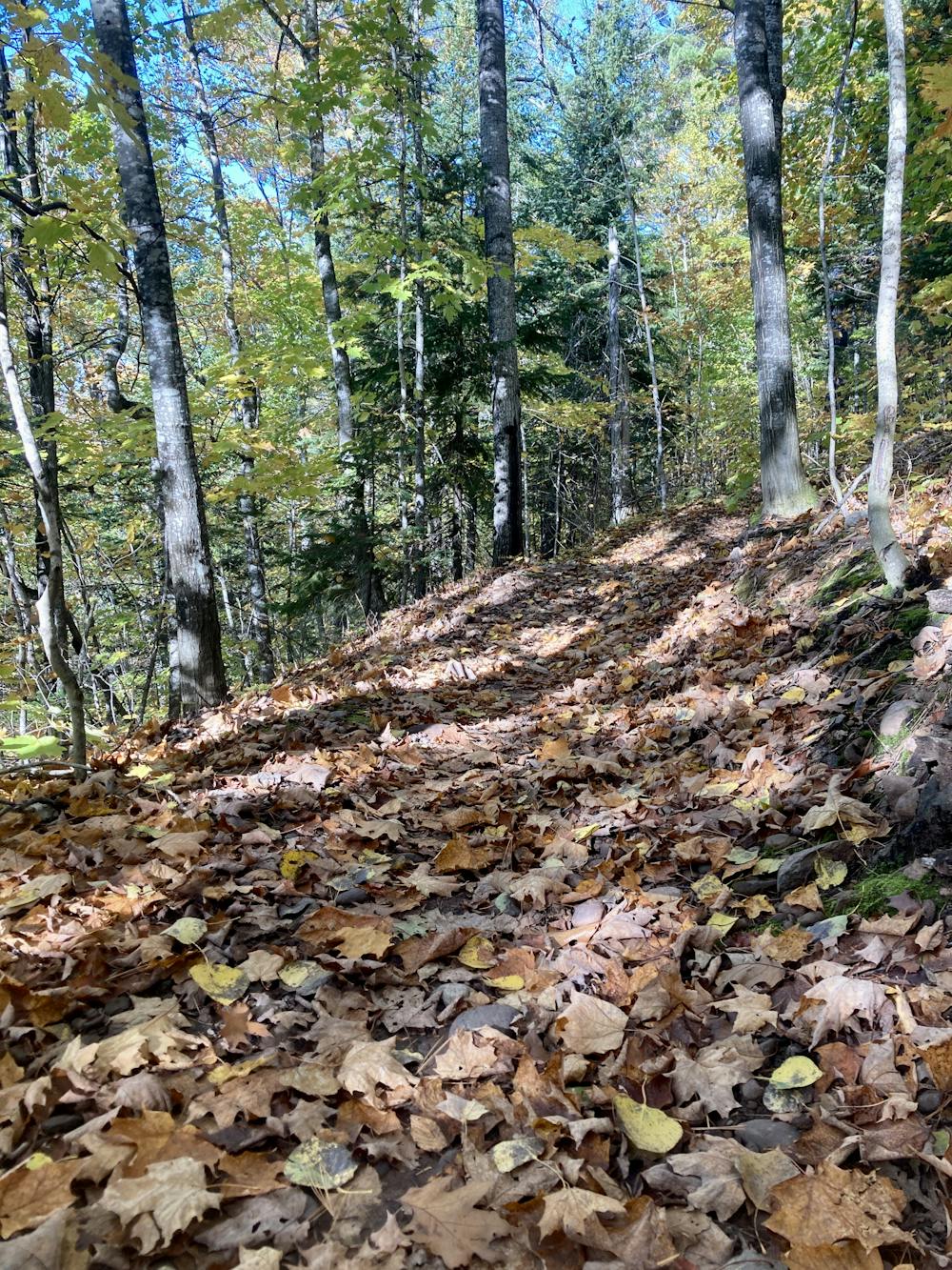
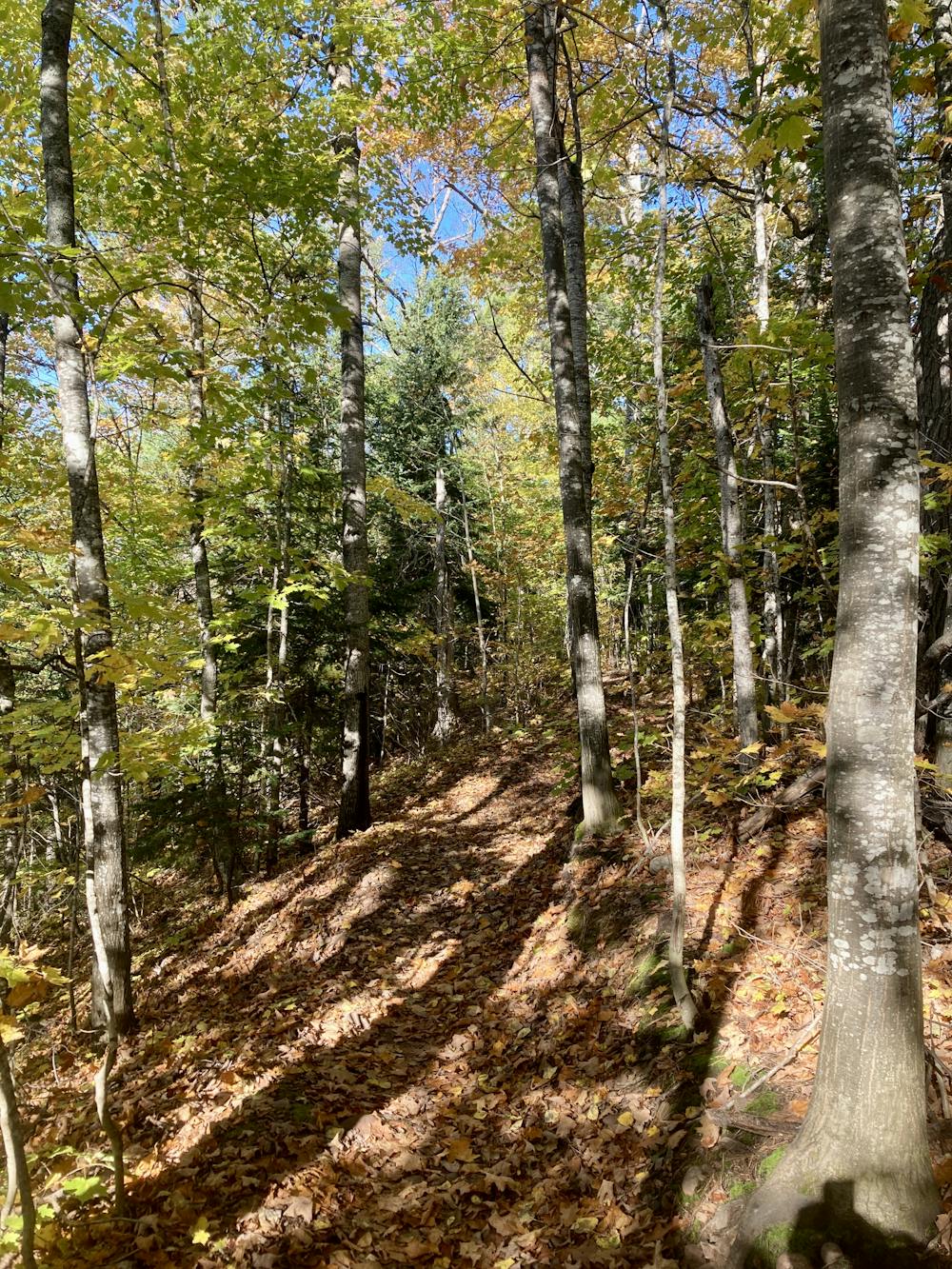
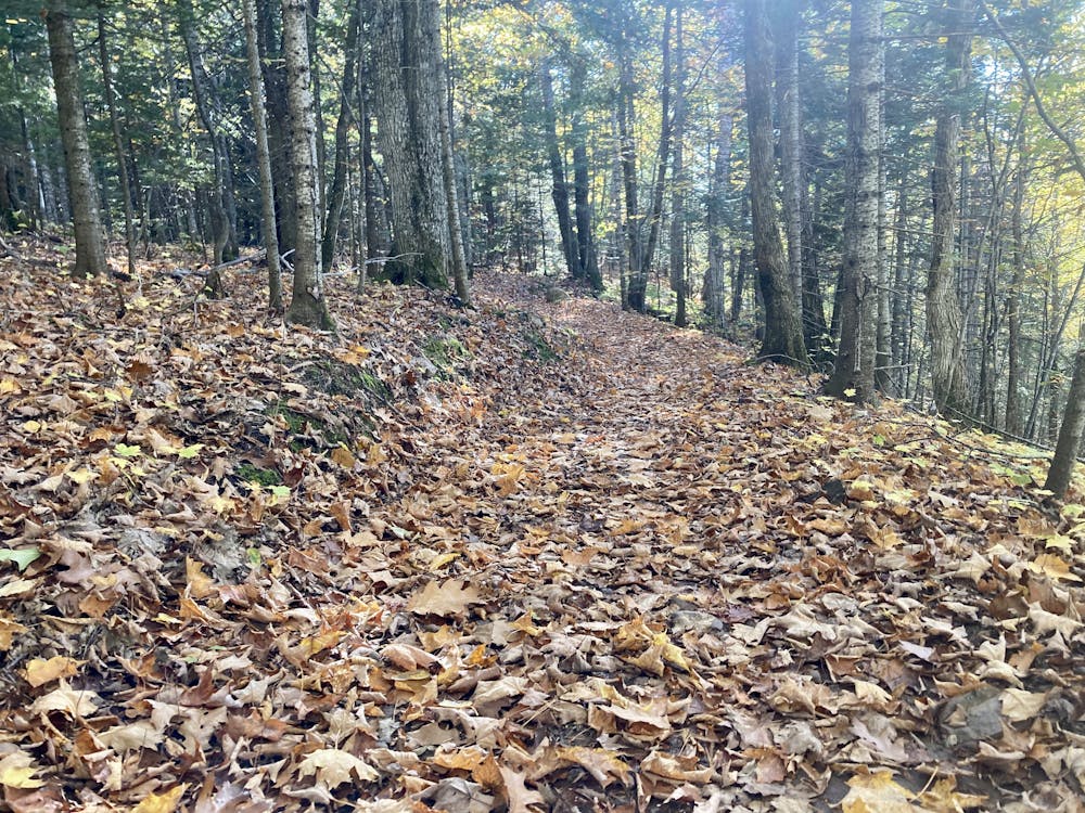
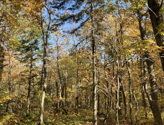
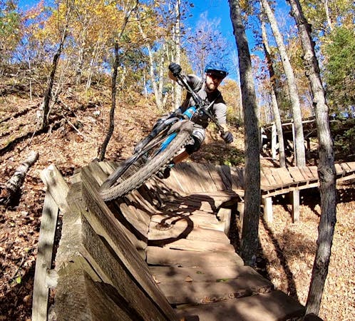
The newest trail development in Copper Harbor is taking place east of downtown in the wild forest between town and Keweenaw Point. The newest tech trails in the region are found on East Bluff, but several natural-style cross country trails are also being built. The Keweenaw Point Trail, shown here, was the initial XC build in this area, leading to the popular destination on the very end of the point.
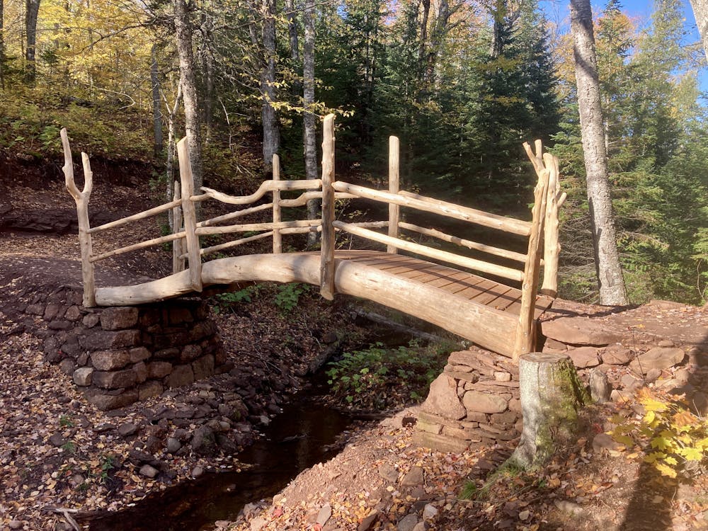
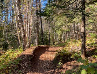
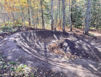
The route shown here begins in downtown Copper Harbor, connecting several sections of the Keweenaw Point Trail together for a great out-and-back cross country ride. The singletrack itself doesn't have any dramatic technical obstacles, but it also isn't a buffed out machine-built trail either. Yes, you'll find a couple of berms in some of the corners, but you'll also have to negotiate small rock gardens, splash through a few stream crossings, and rattle over root webs. Simply put, the Keweenaw Point Trail rides like the cross country mountain bike trails of yore... only better.
If you keep your eyes peeled, you can spot a commemorative plaque for the Keweenaw Rocket Range, an isolated launch pad that was used by NASA and the University of Michigan "between 1964 and 1971 for launching rockets for meteorological data collection," according to Wikipedia.
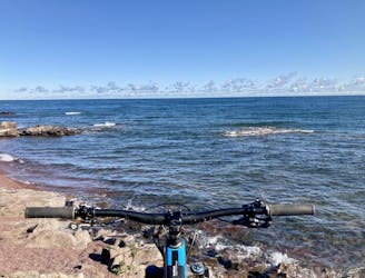
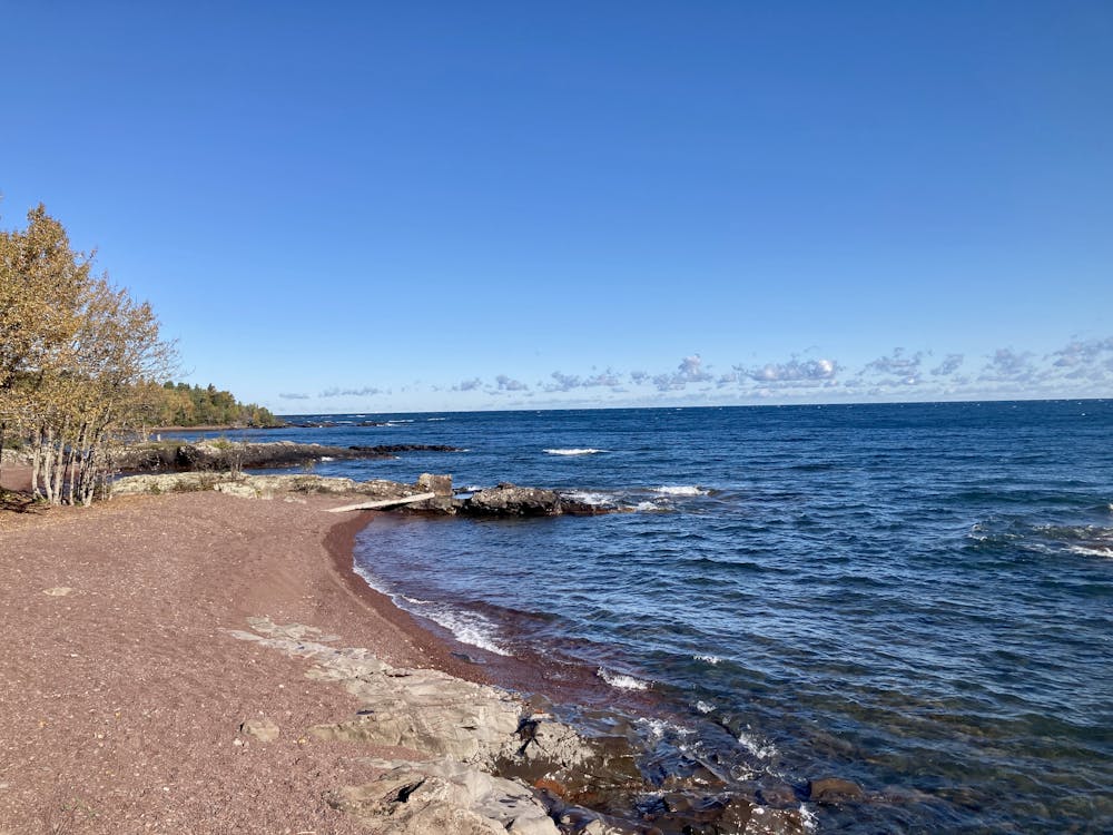
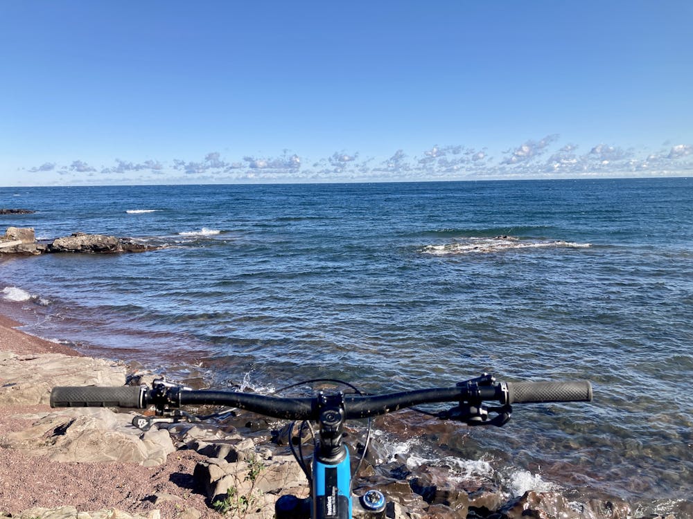
The end goal of pedaling this trail is the beautiful vista of mighty Lake Superior that seemingly overwhelms and surrounds you, its cold blue waters and omnipresent wind providing a truly visceral experience.
Once done enjoying the views from the Point, you can either return the way you came, or you can take the gravel road back for a more direct route. Be warned, though: just because it's a gravel road does not mean it's easier! The road is, if anything, steeper and rockier than the singletrack trail.
Difficult
Mostly stable trail tread with some variability featuring larger and more unavoidable obstacles that may include, but not be limited to: bigger stones, roots, steps, and narrow curves. Compared to lower intermediate, technical difficulty is more advanced and grades of slopes are steeper. Ideal for upper intermediate riders.

The path is on completely flat land and potential injury is limited to falling over.

Away from help but easily accessed.
1 m away
A rough gravel road leads to an incredible view on the end of Keweenaw Point.
Easy Mountain Biking
2 m away
This cross-country loop ride on the south side of Copper Harbor's trail system showcases both the old school singletrack trails in the area while also providing a great taste of modern trail building techniques.
Moderate Mountain Biking
21 m away
A pedal-driven loop on Copper Harbor's famous "The Flow" Trail.
Moderate Mountain Biking
5.8 km away

Flo'rion was the first trail built at East Bluff, and it epitomizes the flowy gravity-oriented character that Rock Solid is working to create.
Difficult Mountain Biking
5.8 km away
Whipsaw is the second hardest descent in the East Bluff trail system, but it is similar in character to Flo'rion.
Difficult Mountain Biking
5.8 km away

The most technical line built at East Bluff to date, with an exposed slab of bedrock as its iconic feature.
Extreme Mountain Biking

10 routes · Mountain Biking
6 routes · Mountain Biking