6 routes · Trail Running
The ultimate trail running loop to experience the high points of Michigan's Upper Peninsula.
Trail Running Difficult

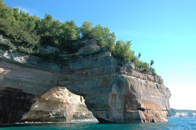
This loop is a local classic and one of the top trail running routes in the UP. It summits four distinct peaks, circles Harlow Lake, and offers incredible views of Lake Superior.

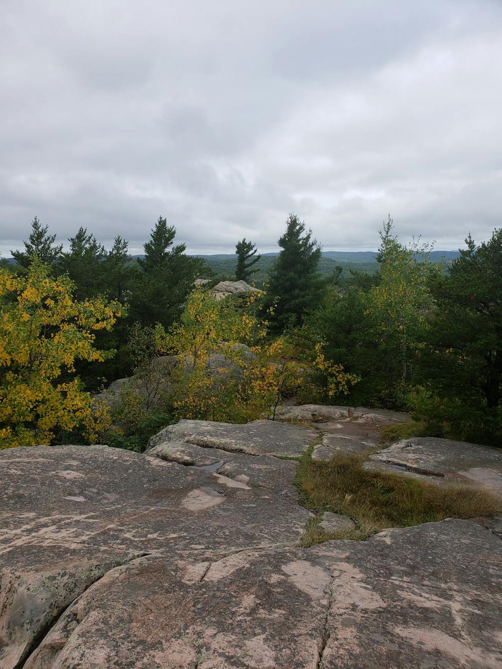
From Sugarloaf Mountain Trailhead, follow the shoulder of Big Bay Road northwest for a few minutes. An obscure trailhead to the left is the start of the loop. From here, the route is pretty straightforward to the initial summit of Hogback Mountain at 1,220'.
From here, take a few minutes to enjoy the view before descending off the back of the mountain towards Beagle Club Road. While on a map it appears suitable for vehicles, the road is gated in the summer and only used for winter snowmobile traffic. There is no through access for vehicles.
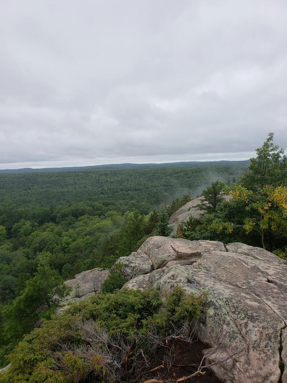
From here, the trail climbs to a segment that locals refer to as Top of the World. The trail crosses directly over the top and down the other side of the rock face. Even when dry, three points of contact will likely be necessary to descend the steep slope on the backside of this peak.
After the descent, you are welcomed with some relaxing doubletrack that circles Harlow Lake and adjacent campsites. Take the chance to catch your breath and enjoy the views of the serene pond.
After rounding the northernmost point of the lake, the loop takes a right and follows the eastern shore before traversing a challenging and exposed rock formation. While there is no significant elevation change, this portion feels reminiscent of the high peaks in the Adirondack and White Mountains of the Northeast.
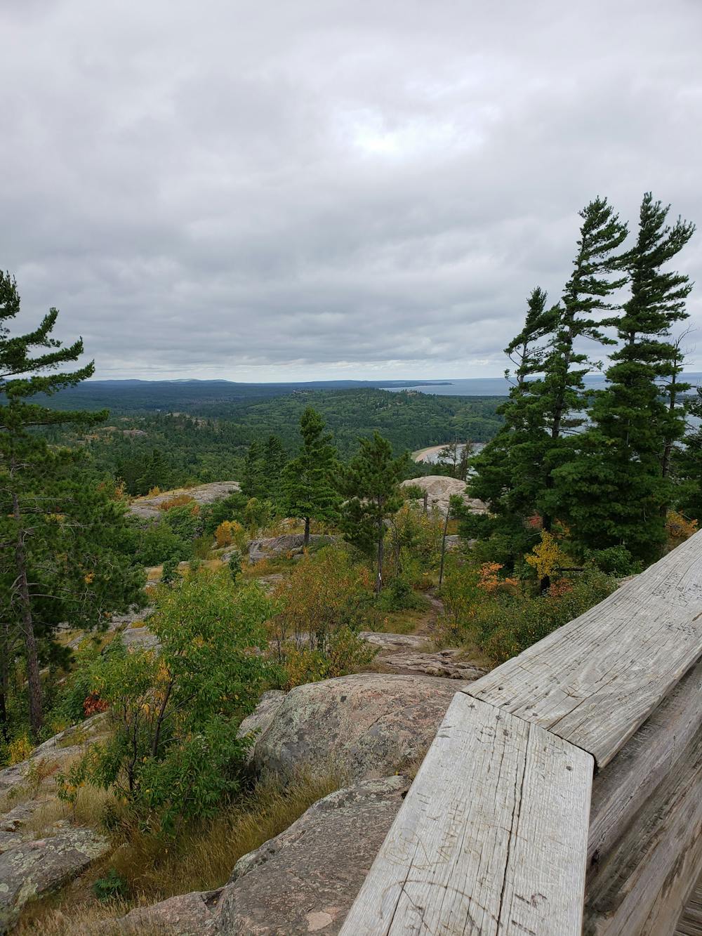
After rejoining the road, the loop heads east towards Lake Superior where it briefly joins the Wetmore Landing Trail overlooking a secluded beach.
The final, and most challenging, portion is the ascent to Sugarloaf Mountain. While not the highest peak, its developed summit offers the most picturesque views of the lake.
A final descent leads straight to the parking lot where you began.
Difficult

Some trail sections have exposed ledges or steep ascents/descents where falling could cause serious injury.

Away from help but easily accessed.
6 routes · Trail Running