1 m away
River Scene Trail
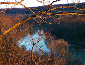
The #1 hike in Castlewood State Park, featuring clifftop views and riverside woodland.
Moderate Hiking
- Distance
- 5.6 km
- Ascent
- 110 m
- Descent
- 110 m
Short loop to a panoramic ridgetop and through vibrant forest.
Hiking Moderate

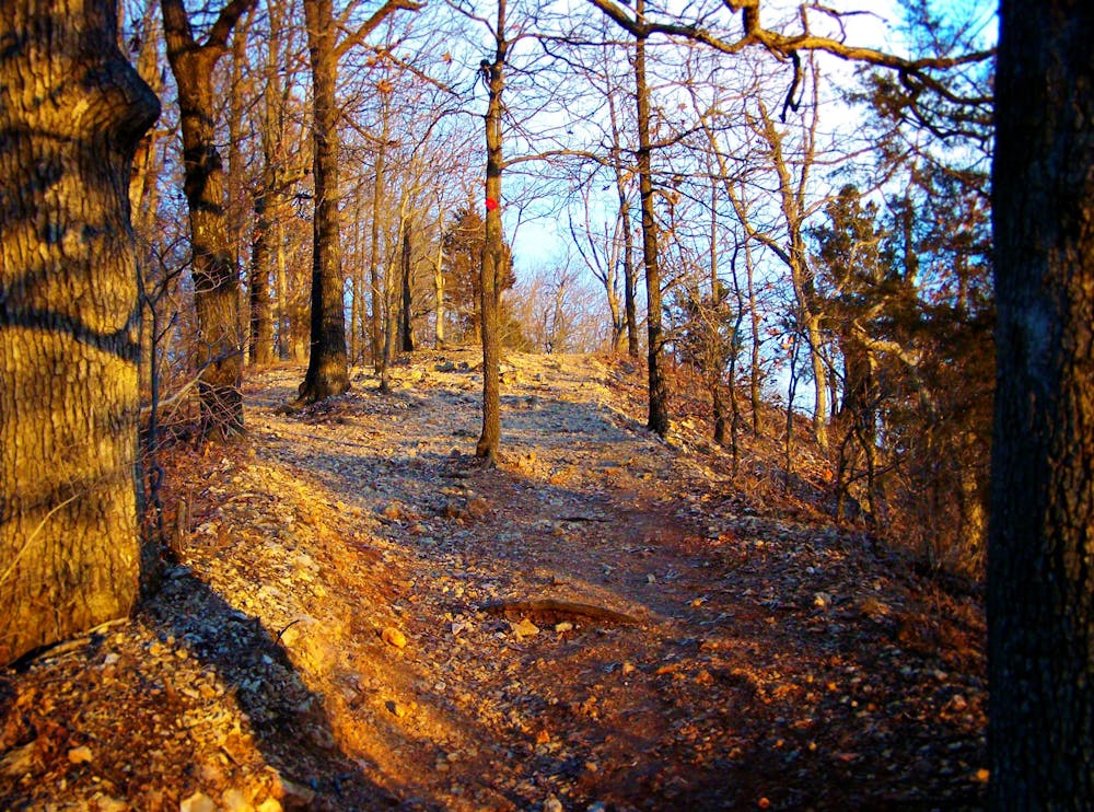
This trail delivers a great view in a short but steep hike from the parking lot. It goes to an overlook atop a cliff, about 200 feet above the Meramec River. This portion of the hike is shared with the popular Riverscene Trail. From the overlook, Lone Wolf Trail departs and takes its own path down the other side of the ridge, through open forest carpeted with ferns. The trail then meanders beside a sandy creek and returns to the trailhead. If you want to extend this hike, you can turn and cross a bridge midway through the loop, and hike some of Grotpeter Trail as well.
Moderate
Hiking along trails with some uneven terrain and small hills. Small rocks and roots may be present.

The trail contains some obstacles such as outcroppings and rock which could cause injury.

Close to help in case of emergency.
1 m away
The #1 hike in Castlewood State Park, featuring clifftop views and riverside woodland.
Moderate Hiking
2.1 km away
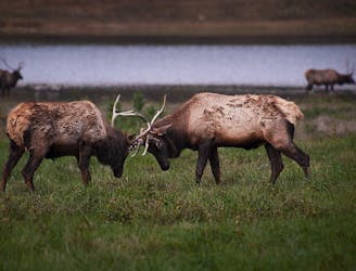
Spot roaming elk and buffalo in a woodland wildlife park near the city.
Moderate Hiking
9.8 km away

Get a taste of natural Missouri, hiking through rock-studded forest with abundant wildlife.
Moderate Hiking
9.8 km away
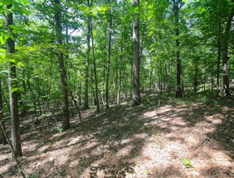
A hilly nature trail where you may see wildlife surprisingly close to the city.
Moderate Hiking
8 routes · Hiking