278 m away
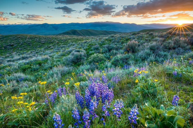
Heart Lake and Mount Sheridan
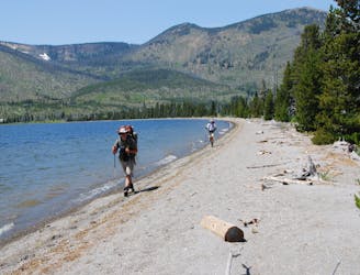
23-mile out-and-back with an active geyser basin, picturesque lakeside camping, and spectacular summit views.
Difficult Hiking
- Distance
- 38 km
- Ascent
- 1.3 km
- Descent
- 1.3 km
The CDT's passage through the southwest corner of Yellowstone National Park, including the stunning Old Faithful Geyser.
Also in Idaho, United States of America • Wyoming, United States of America
Hiking Difficult
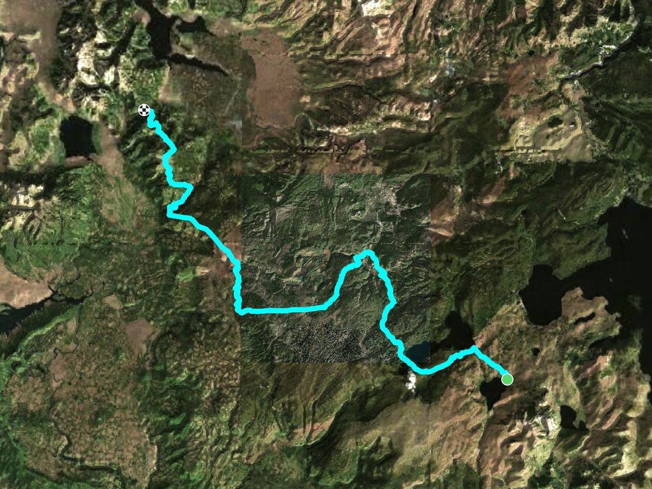
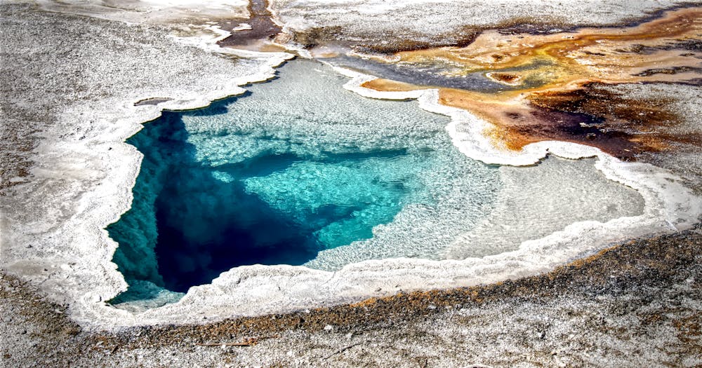
This leg of the CDT tours the southwest corner of Yellowstone National Park before making its way into Idaho and Montana. Along the way, you'll enjoy views of Shoshone Lake and the Minute Man Geyser before making your way to the iconic Old Faithful Geyser. Portions of this segment are extremely remote as you near the western edge of the park, but contrasted by larger crowds that flock to the heart of Yellowstone to view the geological phenomena.
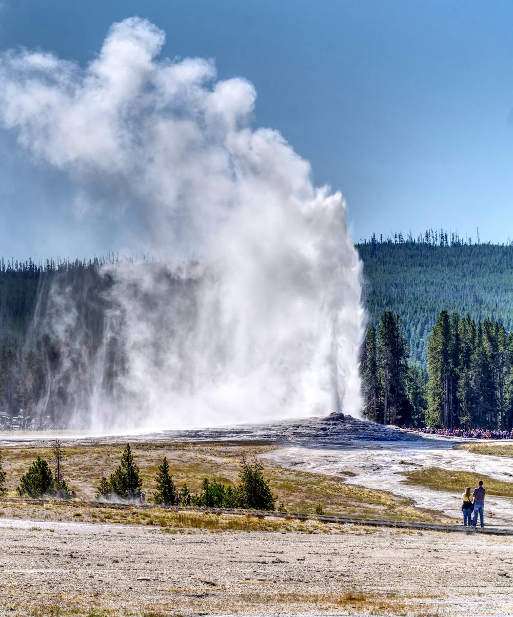
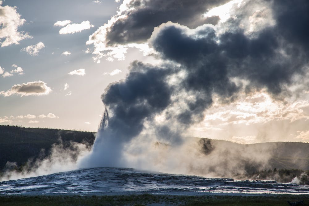
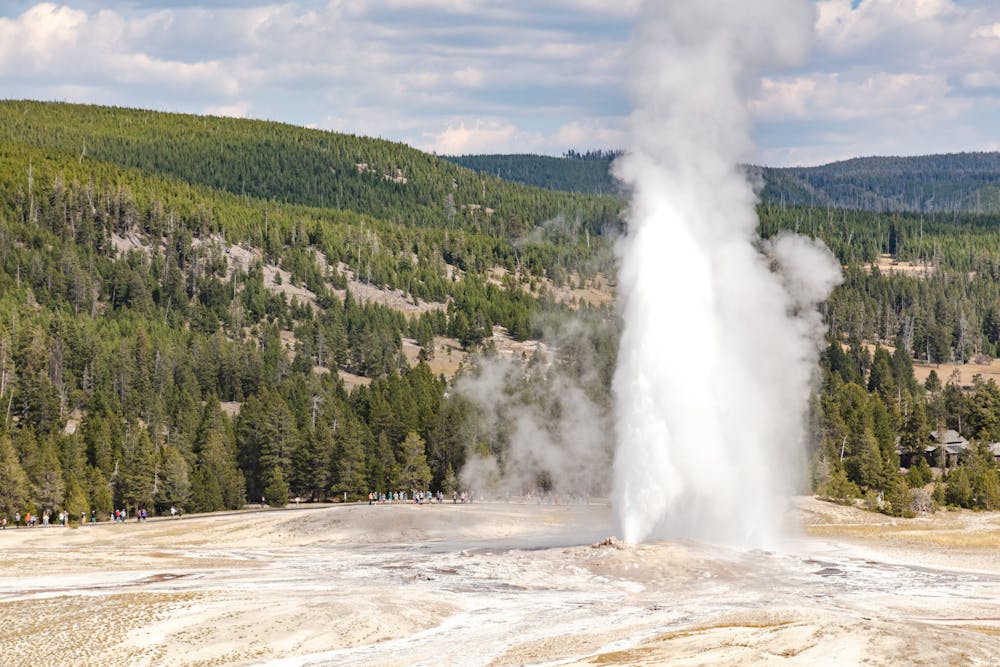
One of the park's nearly 500 geysers, Old Faithful "inspired the establishment of Yellowstone as the world's first national park in 1872," the park notes. Eruptions are hard to predict in most of the park's geysers, but Old Faithful hasn't taken more than a 30-minute break over the last 30 years. The geyser is visible from the CDT, with boardwalks and vistas offering other perspectives to view the geyser. The icon is also supported by a large visitor center, lodge, post office, and other amenities catering to both tourists and thru-hikers.
The southern terminus for this segment is accessible from US-191 (South Entrance Road), on the northeast corner of Lewis Lake. Other maps refer to it as the Dogshead/Channel Trailhead, and Lewis Lake Campground is just moments to the south. Overnight parking and plenty of day-use parking is available, and seasonal water and restrooms are available at the campground. The road is also closed during the winter due to snow, often falling as early as September or October.
Leaving Wyoming, the trail passes through the final few miles of the National Park in Idaho, a peculiar sliver of land that has been the inspiration behind movies, books, and other publications over the years. Known as the Zone of Death, the area encompasses a "50 sq mi (129.50 km2) Idaho section of Yellowstone National Park in which, as a result of a purported loophole in the Constitution of the United States, a criminal could theoretically avoid prosecution for any major crime, up to and including murder." Thankfully, the loophole has been dismissed on many occasions, or "at least for the time being," this source) discusses.
Sources: https://en.wikipedia.org/wiki/ZoneofDeath(Yellowstone) https://continentaldividetrail.org/ https://www.nps.gov/yell/planyourvisit/exploreoldfaithful.htm
Difficult
Hiking trails where obstacles such as rocks or roots are prevalent. Some obstacles can require care to step over or around. At times, the trail can be worn and eroded. The grade of the trail is generally quite steep, and can often lead to strenuous hiking.

Some trail sections have exposed ledges or steep ascents/descents where falling could cause serious injury.
Little chance of being seen or helped in case of an accident.
278 m away
23-mile out-and-back with an active geyser basin, picturesque lakeside camping, and spectacular summit views.
Difficult Hiking
5 routes · Hiking
6 routes · Hiking

40 routes · Hiking
13 routes · Hiking