11 routes · Mountain Biking
Climb up a lush valley to views of the mountain peaks.
Mountain Biking Difficult

Truman Gulch is a popular trail on the western side of the Bridgers that attracts a fair bit of trail traffic, even mid-week. From hikers to horseback riders and, of course, mountain bikers, Truman Gulch provides a quick hit of natural beauty that can be enjoyed even as a short after-work jaunt. If you're looking for a big-mountain epic, look elsewhere, or begin at Truman Gulch and ride deeper into the mountain range. But if you're looking for a short hit, read on.
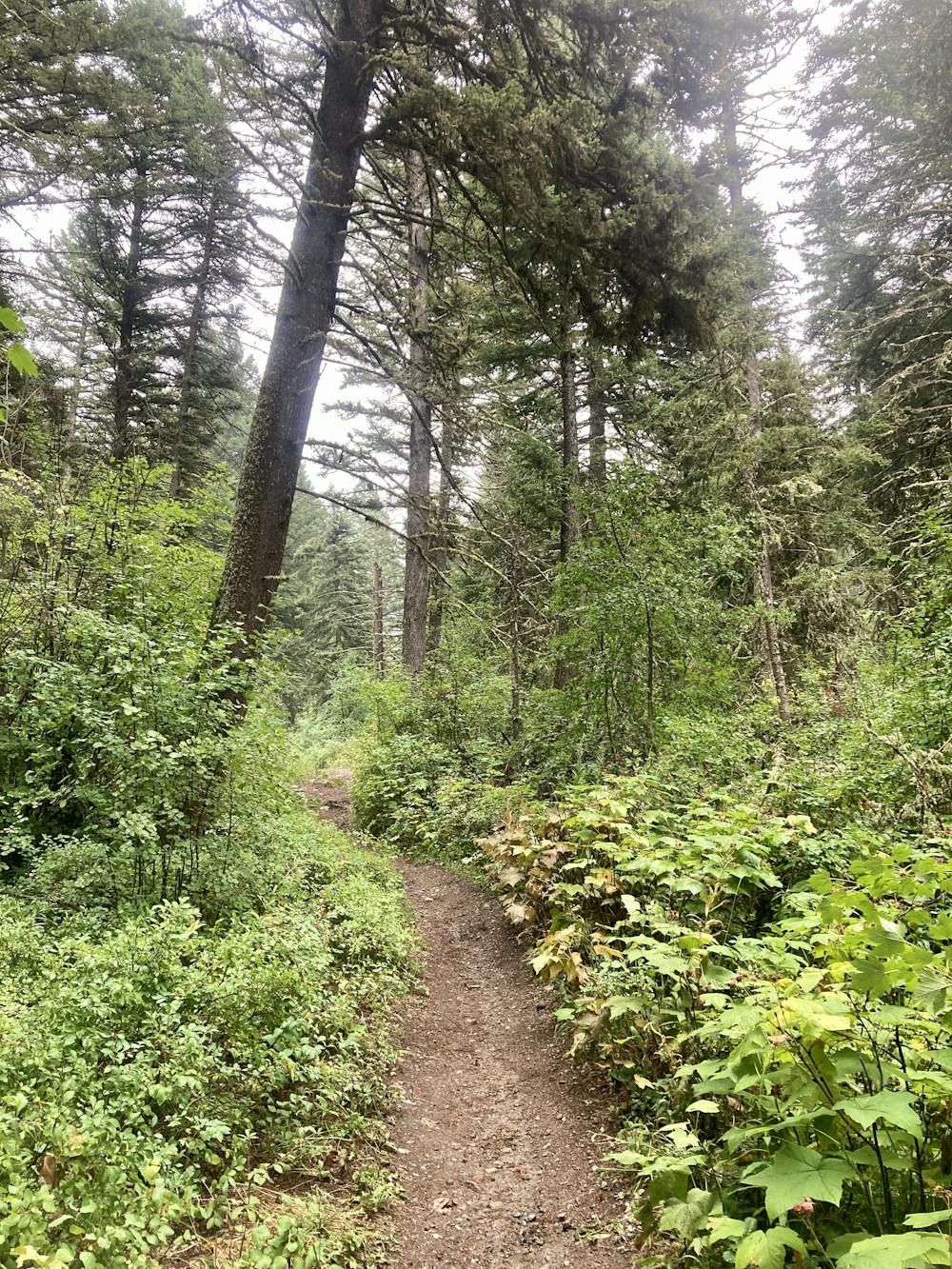
The Truman Gulch trail begins in a towering forest of old-growth pine trees and dense undergrowth as it ascends next to a rushing stream. The trail tread in the lower reaches is wide and largely non-technical due to the traffic it receives. This section is downright gorgeous, providing a deep, dark forest experience.
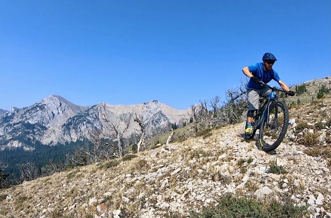
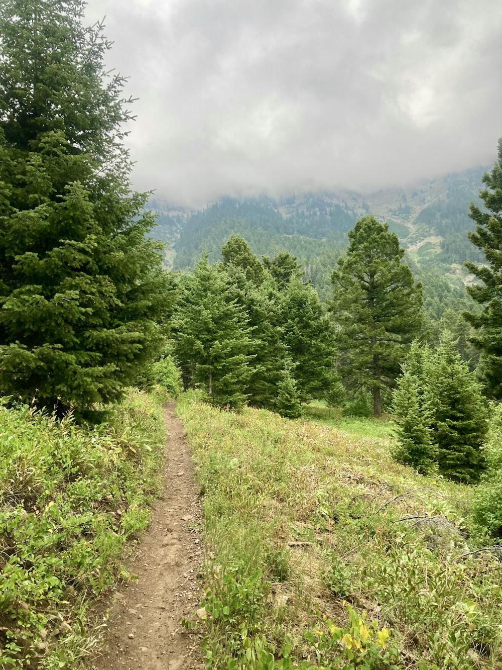
After rising along a mellow grade, the trail surges up a short steep section of roots and rocks, and then begins climbing in earnest. The trail reaches a steeper side slope and begins to switchback up the flanks of the mountain. As you continue climbing, the views begin to open up, with meadows providing vistas of the peaks of the Bridger range towering high above.
After climbing for just shy of 3 miles, the Truman Gulch Trail tees into the Bridger Foothills Trail. The recommended route shown here turns around at this junction to blast back down the mountainside.
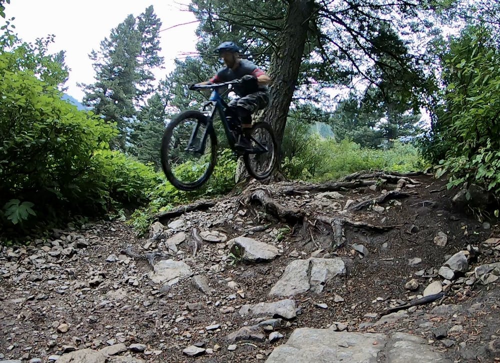
The trail is steep, lending to high speeds that are limited only by the switchbacks. After the switchbacks end and you launch off the one big drop, the trail speed picks up dramatically on the lower, straighter section of trail. Be sure to ride heads up for other trail traffic, but if you find that you have the place to yourself—grip it and rip it!
Note:
The Bozeman area is renowned as prime grizzly bear country. Signs at every trailhead warn that bears are highly active in the area. Mountain biking is considered a high-risk activity in grizzly bear country due to the quiet speed of a bicycle and how quickly you can accidentally sneak up on a bear when rounding a blind turn. To mitigate this risk, make plenty of noise while riding, try to ride with a group of people, and consider attaching a bear bell to your handlebars. Also, make certain that you carry bear spray with you every time you ride, in case you do get into an encounter with a grizzly.
Difficult
Mostly stable trail tread with some variability featuring larger and more unavoidable obstacles that may include, but not be limited to: bigger stones, roots, steps, and narrow curves. Compared to lower intermediate, technical difficulty is more advanced and grades of slopes are steeper. Ideal for upper intermediate riders.

The trail contains some obstacles such as outcroppings and rock which could cause injury.

Little chance of being seen or helped in case of an accident.
11 routes · Mountain Biking