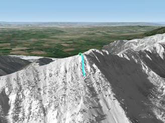
Bridger Ridge Traverse
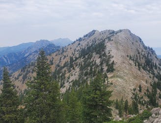
A tough, technical, exposed traverse of the rugged Bridger range.
Extreme Trail Running
- Distance
- 29 km
- Ascent
- 1.9 km
- Descent
- 2.7 km
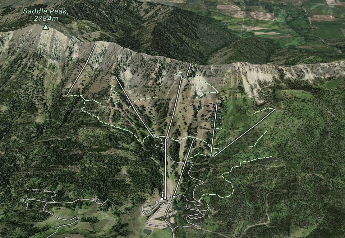
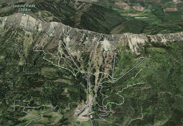
Explore South Bridgers with curated guides of the best ski routes, and more. With over 207 3D trail maps in FATMAP, you can easily discover and navigate the best trails in South Bridgers .
No matter what your next adventure has in store, you can find a guide on FATMAP to help you plan your next epic trip.
Get a top trail recommendation in South Bridgers from one of our 2 guidebooks, or get inspired by the 207 local adventures uploaded by the FATMAP community. Start exploring now!
A tough, technical, exposed traverse of the rugged Bridger range.
Extreme Trail Running
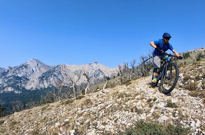
Climb up a lush valley to views of the mountain peaks.
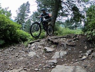
Difficult Mountain Biking

Consistently pitched tree shot with a technical exit
Difficult Freeride Skiing

Wide open turns into nicely spaced glades
Difficult Freeride Skiing
Open pads between rocky sections with ample opportunity for air
Difficult Freeride Skiing

Steep hanging chutes
Severe Freeride Skiing

Steep, rocky, exposed, gnar zone
Severe Freeride Skiing

Low angle, open meadows
Difficult Freeride Skiing
11 routes · Mountain Biking
7 routes · Trail Running