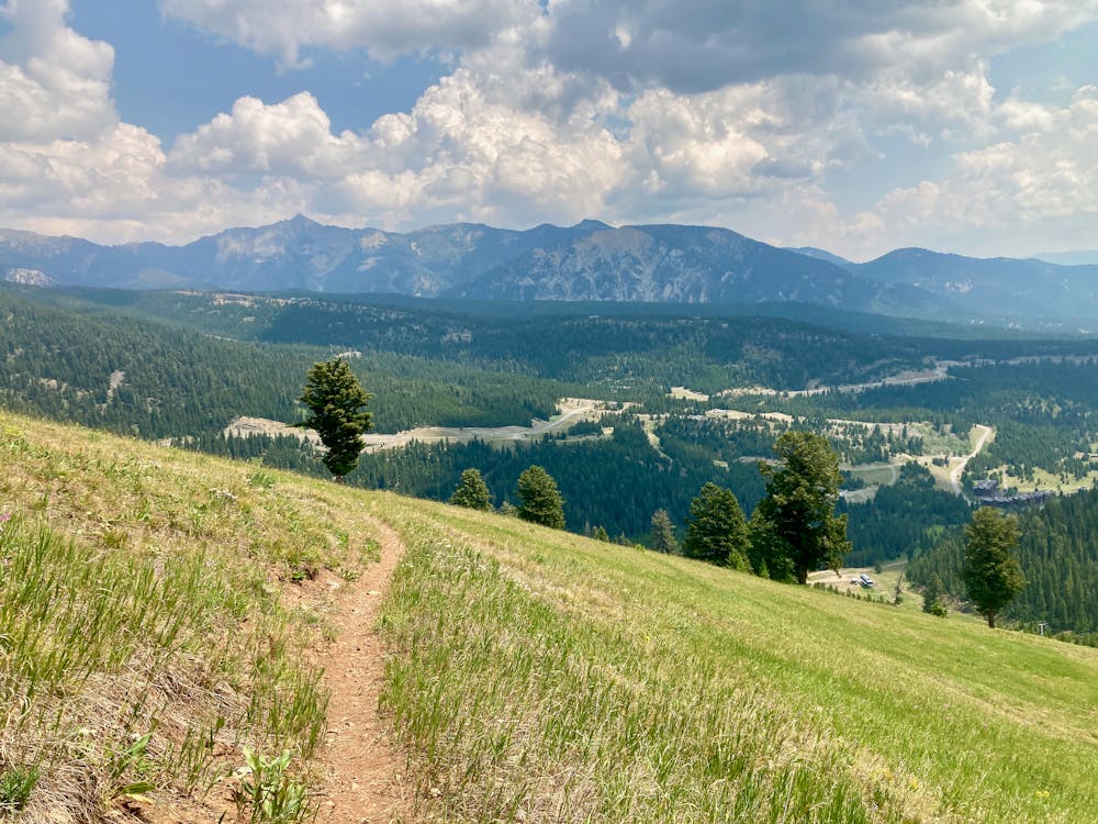
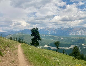
The Rut 28k Race

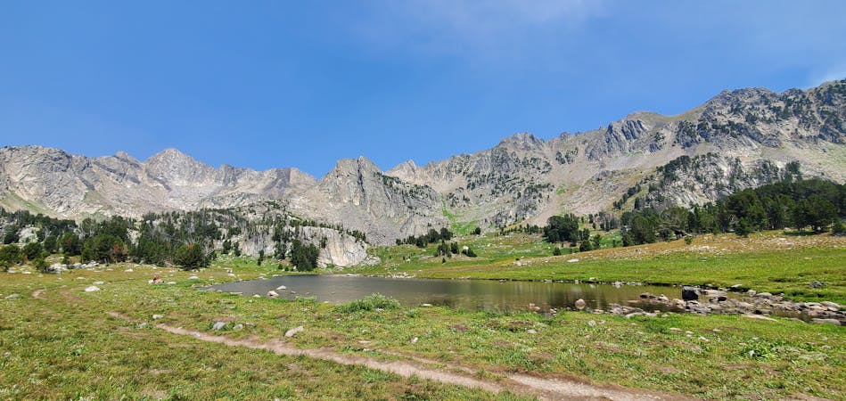
An "extremely steep & technical" 28k course with stunning views and nearly 8000' of climbing!
Severe Trail Running
- Distance
- 28 km
- Ascent
- 2.3 km
- Descent
- 2.3 km
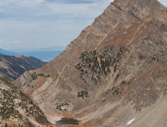
A genuine mountain race "including jeep roads, forested single track trails, alpine ridge lines," and a scramble up the 11,166' Lone Peak.
Trail Running Severe

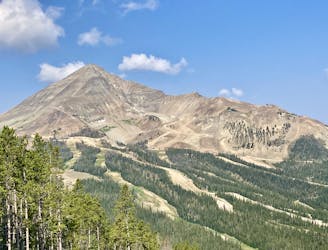
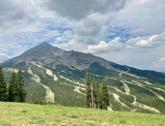
Considered one of the most coveted trail running events in Montana, The Rut is one of the most difficult 50k courses imaginable. The 31-mile course includes a stifling 10,500' of climbing spread over a mixture of single and doubletrack, plus a bit off off-trail scrambling. As with the 28k, the 50k also traverses "extremely steep & technical" terrain, especially as you approach the 11,166' summit of Lone Peak around mile 19. "This is a true mountain course" according to the race director, and it's strongly encouraged "to become familiar with the course terrain before registering for this event."
In 2020, the entire event sold out in four hours, so if you plan to make this your next big race, keep an eye on the upcoming year's registration day. A $4,500 purse is spread among the top 10 overall men and women, so there are always a handful of elites looking to lay stake to a potential fortune. First overall earns a hefty $1,000!
The 50k begins Sunday morning just before sunrise. Lights are needed for the first hour, and you can drop them at the first aid station as long as you have your name and bib number attached in some manner.
Though elite racers have clocked times well under 6 hours, the median finish time is much closer to 10 hours. Poles are allowed, though neither pacers nor crew are allowed for any distance.
Per the race guide, the 50k includes one water stop and five full aid stations "with water, Skratch Labs goodies, sweet and salty snacks, first aid, and energetic volunteers!" They are spaced as follows:
Moonlight Lodge#1: 5.6 Miles (No Cut Off) Moonlight Lodge#2: 11.5 Miles (10:30 AM Cut off) Swiftcurrent: 18.7 Miles (1:00 PM Cut off) Summit:19.9 Miles (2:30 PM Cut off) Shedhorn Water Only station: Mile 22 (New in 2019) Andesite: 26.5 Miles (5:00 PM Cut off) Finish Line: 31 Miles (6:45 PM Cut off)
Course Details: 60% Singletrack/25% Dirt Road/15% Off Trail
Severe

Some trail sections are extremely exposed where falling will almost certainly result in serious injury or death.

Little chance of being seen or helped in case of an accident.
An "extremely steep & technical" 28k course with stunning views and nearly 8000' of climbing!
Severe Trail Running
"The hardest 3-mile 'run' you will ever complete."
Severe Trail Running
0 m away
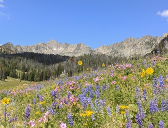
A lower elevation course packed with stunning views.
Moderate Trail Running
48 m away
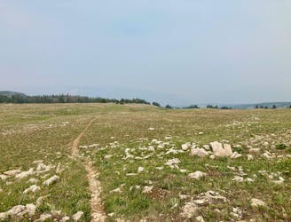
The newest distance for The Rut, added in 2023.
Difficult Trail Running
2.9 km away
A heavily-trafficked trail leading into a beautiful basin below the Spanish Peaks.
Moderate Trail Running
5.3 km away
Skip the crowds of Beehive Basin with this run to a remote high alpine lake.
Difficult Trail Running
7 km away
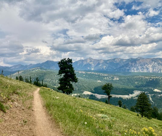
An incredible backcountry loop that's accessible directly from downtown Big Sky.
Difficult Trail Running
5 routes · Trail Running
6 routes · Trail Running