3 m away
Showgirl Shuttle

Flowy XC-style shuttle.
Moderate Mountain Biking
- Distance
- 16 km
- Ascent
- 106 m
- Descent
- 908 m
The marquee shuttle run on Mount Charleston.
Mountain Biking Difficult

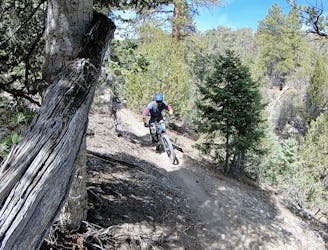
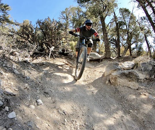
The Mount Charleston area is Las Vegas's bonafide big mountain shuttle zone. While you won't find any true long-distance shuttles with dozens of miles of singletrack and over a vertical mile of descending, you can still shred down a cool 2,000 vertical feet in a few minutes on several steep shots of singletrack.
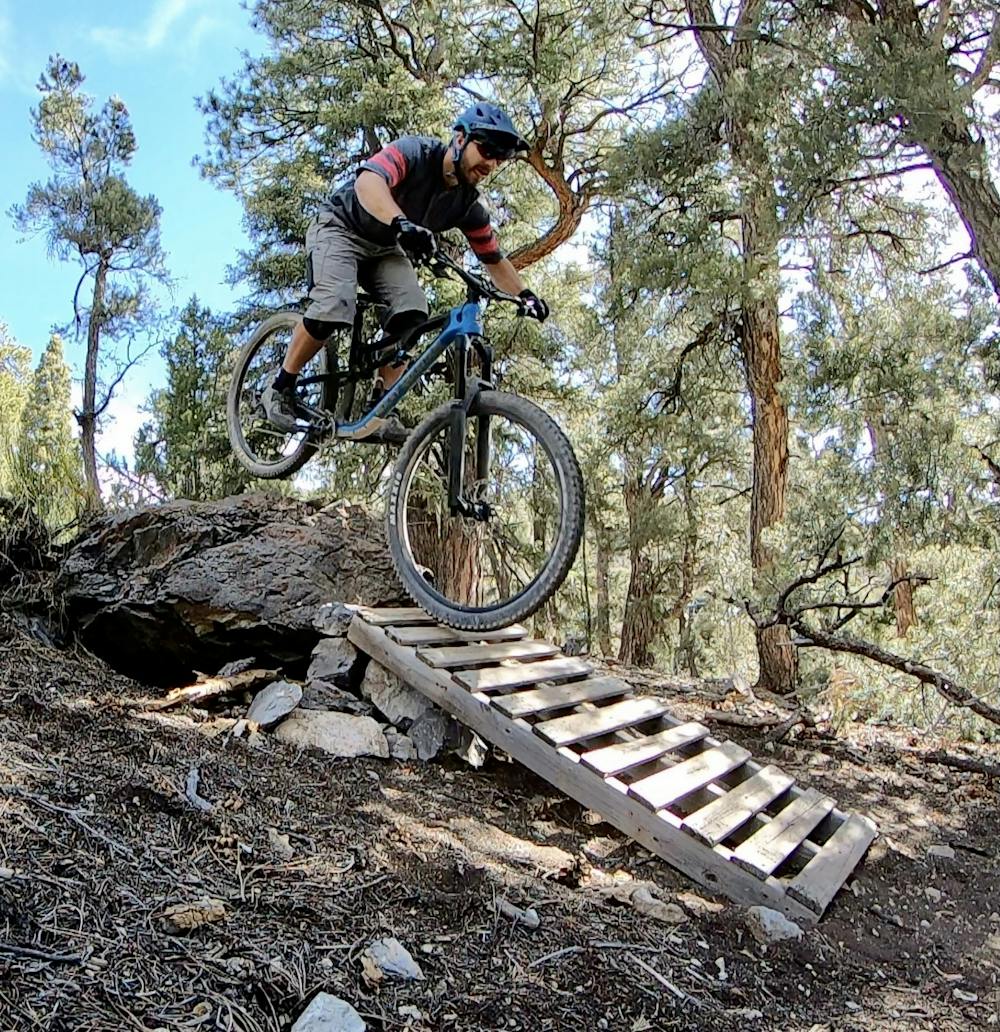
Arguably the prime route down the mountain begins on the Chutes and Ladders Trail and finishes on Tin Can Alley.
Chutes and Ladders begins steep and loose, dropping dramatically down an eroded fall line trail. Turning through some bermed, eroded corners and plopping over drops and rock ledges, after a couple minutes, the Chutes quickly lead to the Ladders. There's one substantial ladder drop that's about 8-10 feet tall, but it can be easily bypassed. Below, there are several smaller, more manageable drop options, including a rock rollover followed by a small ladder bridge.
The technical difficulty of Chutes and Ladders depends a bit on your perspective, but it's easy to make the argument for rating it a black diamond. Normally a dark black diamond ride would get a "Severe" FATMAP difficulty rating, but due to the lack of technical challenge on Chutes and Ladders aside from the loose steepness and the mellowness of the rest of the ride, this route only gets a "Difficult" rating.
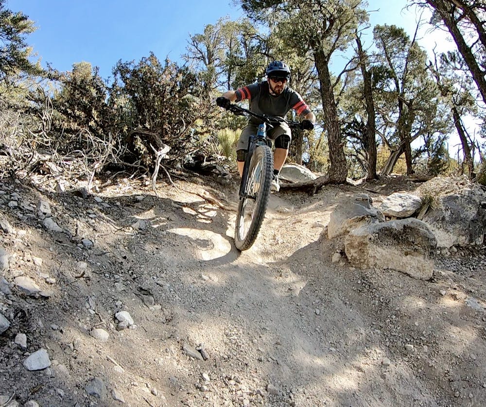
After crossing the highway, there's a little more steep descending, and then the route mellows out as it hits Tin Can Alley. There's nothing difficult on Tin Can Alley, but this great singletrack keeps the entertainment value high as it winds its way through the trees. It quickly drops down a valley toward the final trailhead far below. The trail tread is still loose, so sliding corners can definitely surprise you, but the grade is much flatter than the steep drop through the "Chutes" section up top.
The final section of trail traverses the hillside on a delightful benchcut, popping out of the big trees into a high desert environment as it reaches the lower trailhead.
Difficult
Mostly stable trail tread with some variability featuring larger and more unavoidable obstacles that may include, but not be limited to: bigger stones, roots, steps, and narrow curves. Compared to lower intermediate, technical difficulty is more advanced and grades of slopes are steeper. Ideal for upper intermediate riders.

The trail contains some obstacles such as outcroppings and rock which could cause injury.
Away from help but easily accessed.
3 m away
Flowy XC-style shuttle.
Moderate Mountain Biking
7.6 km away
A high-value loop in high-elevation mountains about Las Vegas.
Difficult Mountain Biking
16 routes · Mountain Biking
6 routes · Mountain Biking