3 m away
Chutes and Ladders -> Tin Can Alley Shuttle
The marquee shuttle run on Mount Charleston.
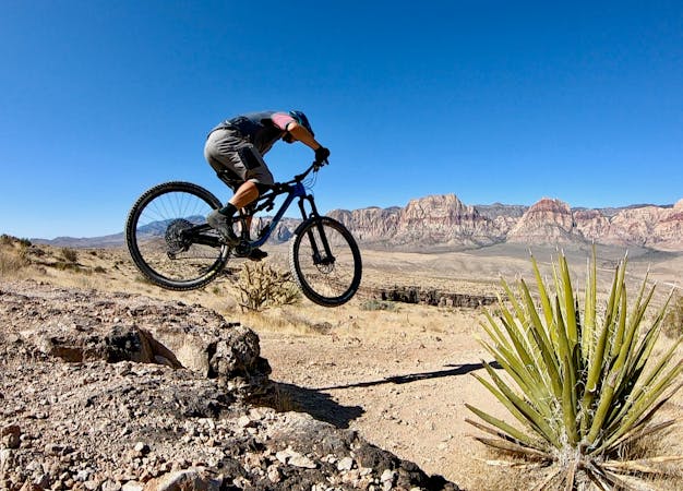
Difficult Mountain Biking
- Distance
- 7.5 km
- Ascent
- 5 m
- Descent
- 654 m
Flowy XC-style shuttle.
Mountain Biking Moderate

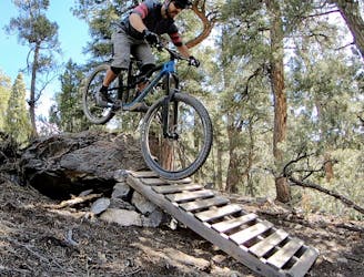
The Mount Charleston area is Las Vegas's bonafide big mountain shuttle zone. While you won't find any epic long-distance shuttles with dozens of miles of singletrack and a vertical mile of descending, you can shred down a cool 2,000 vertical feet in a few minutes on several steep shots of singletrack.
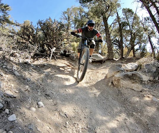
For a more cross country-style descent that's achievable by even neophyte mountain bikers, try out this shuttle on Upper -> Lower Showgirl.
Upper Showgirl is a true singletrack gem! Winding through formidable trees in a high elevation climate zone, this delightfully smooth and well-built bench cut trail doesn't see much traffic, which is a real shame for those who've missed out. But you who are now in the know will benefit from this route!
There are a couple of unmarked splits on Upper Showgirl, so be sure to check with this map in order to make it all the way over to Tin Can Alley.
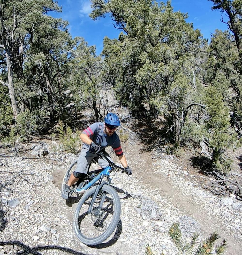
You'll descend a portion of Tin Can Alley before splitting off onto the Lower Showgirl Trail. There's nothing difficult on Tin Can Alley, but this delightful singletrack winds its way through the trees as it quickly drops down a valley toward the final trailhead far below. The trail tread is still loose, so sliding corners can definitely surprise you, but the grade is still quite manageable.
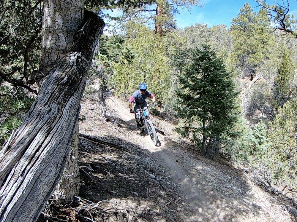
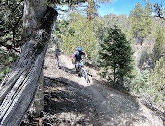
Once onto Lower Showgirl, you may have to negotiate a few tricky rock sections that are more difficult than this "Moderate" rating might bely, but they are over and done with quickly. On the whole, Lower Showgirl is a smooth, flowy singletrack that's bench cut into the side of the mountain ridge. Lower down, the trail traverses the sides of small arroyos as it breaks out of the thick forest into the arid high desert environ. This smooth, flowy trail is a popular climbing trail to reach the top of Chutes and Ladders, so watch for uphill traffic. Even so, the swoop and flow of this trail is absolutely delightful in the downhill direction, and perfect for intermediate riders!
Moderate
Mostly stable trail tread with some variability, with unavoidable obstacles 8in/20cm tall or less. Other obstacles such as rock gullies and steep sections may exist. Ideal for lower intermediate riders.

The trail contains some obstacles such as outcroppings and rock which could cause injury.
Away from help but easily accessed.
3 m away
The marquee shuttle run on Mount Charleston.
Difficult Mountain Biking
7.6 km away
A high-value loop in high-elevation mountains about Las Vegas.
Difficult Mountain Biking
16 routes · Mountain Biking
6 routes · Mountain Biking