6.2 km away
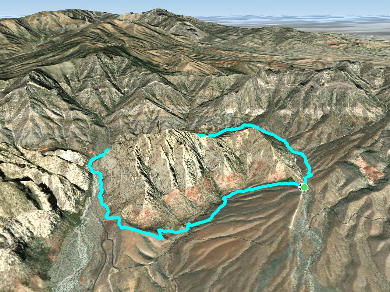
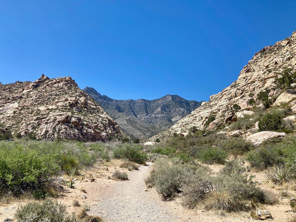
Grand Circle Loop
Instead of driving through Red Rock Canyon Conservation Area, why not run a big loop instead?!
Moderate Trail Running
- Distance
- 18 km
- Ascent
- 478 m
- Descent
- 478 m
A remote loop circumnavigating a beautiful peak.
Trail Running Moderate
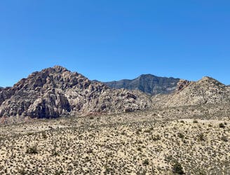
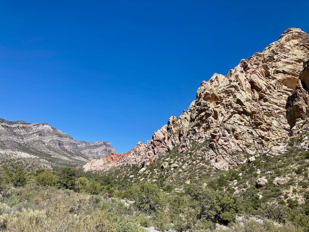
The White Rock Loop runs for 6.2 miles, circumnavigating the prominent peak by the same name. This loop gets quite remote and goes well away from the crowds as it swings around the backside of the mountain, and yet with less than 1,200 feet of elevation gain, it's still a highly achievable route.
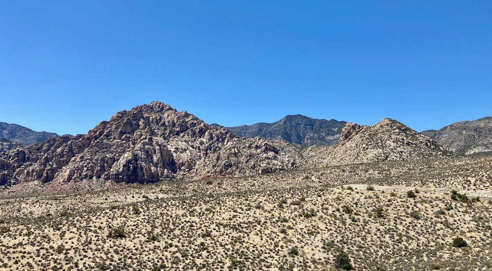
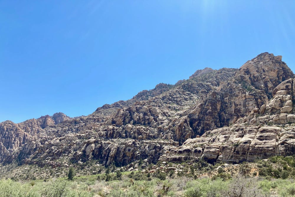
There are a few different trailheads to choose from on the front of the mountain, and the loop can be run in either direction. If heading in a counter-clockwise direction, "the trail loops behind White Rock Mountain, through a forested area of pines and junipers," according to PlanetWare.com. "This is one of the nicest sections of the trail, giving you the feeling of a remote backcountry hike."
As you near the Willow Spring Picnic Area, the trail gets decidedly less pleasant as it follows a 4x4 road that's often choked with jeep traffic. However, after passing the picnic area, you'll get back on singletrack as you skirt the front of the mountain to return to your starting point.
Even though this entire route isn't on singletrack, the remote stretches of trail devoid of crowds and the appealing loop route make this a high-quality adventure in the Red Rock Canyons Conservation Area!
Moderate

The path is on completely flat land and potential injury is limited to falling over.

Little chance of being seen or helped in case of an accident.
6.2 km away
Instead of driving through Red Rock Canyon Conservation Area, why not run a big loop instead?!
Moderate Trail Running
7 km away
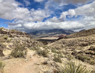
A beautiful run near Red Rocks that doesn't require a reservation.
Moderate Trail Running
7 routes · Trail Running