5.6 km away
Appalachian Trail: Pinkham Notch to Grafton Notch
A beautiful segment of the AT, summiting the final 4,000-footers in New Hampshire before heading into Maine.
Severe Hiking
- Distance
- 72 km
- Ascent
- 5.1 km
- Descent
- 5.2 km
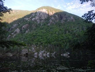
Wildcat Ridge out and back starting near Glen House
Hiking Severe

This is a popular hiking route which is generally considered to be severe. It's remote, it features high exposure and is typically done between May and October. From a low point of 456 m to the maximum altitude of 1.3 km, the route covers 18 km, 1286 vertical metres of ascent and 1287 vertical metres of descent.
Heavily Trafficked out and back trail located near Gorham, NH. The trail is very difficult do to getting up Carter Notch. Be mindful of conditions.
Severe
Hiking challenging trails where simple scrambling, with the occasional use of the hands, is a distinct possibility. The trails are often filled with all manner of obstacles both small and large, and the hills are very steep. Obstacles and challenges are often unexpected and can be unpredictable.

Some trail sections have exposed ledges or steep ascents/descents where falling could cause serious injury.

Away from help but easily accessed.
5.6 km away
A beautiful segment of the AT, summiting the final 4,000-footers in New Hampshire before heading into Maine.
Severe Hiking
9.4 km away
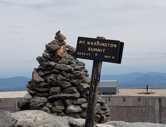
One of the greatest hikes in White Mountains of New Hampshire.
Severe Hiking

58 routes · Hiking

10 routes · Hiking