17 routes · Ski Touring
The exit trail from Tuckerman Ravine, with a great amount of vert.
Ski Touring Easy

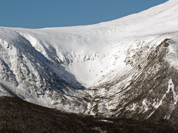
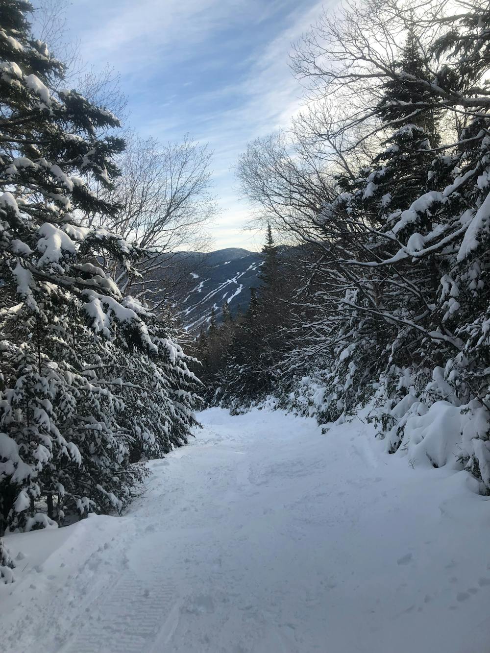
The Sherborne Trail, or the “Sherbie” as locals know it, is the designated ski trail used to exit Tuckerman Ravine. To preserve snow, hiking up the Sherborne Trail is prohibited. How you ski the Sherborne Trail depends on the time of year. If the Little Headwall is filled in, you can ski down from the bowl to Hojo’s. The Little Headwall is a playground of chutes, frozen riverbeds and little trees. This slowly blends into forest and connects with the Sherbie. You will have to hike around this area later in the season since it becomes a rushing river. If you are coming from Hillman’s Highway this doesn’t apply. The Sherbie twists and turns through the forest like a classic New England ski trail. There are usually big moguls here from many skiers using this trail. Later in the season you will have to to watch out for bare spots. The Sherbie takes about 10-15 minutes to ski and returns to the Pinkham Notch Visitor Center. Note that the Sherborne Trail closed when it gets too melted out. If so, hike down the Tuckerman Ravine Trail. This takes 2 hours to do, so be sure to check the status of the Sherbie before you plan your day
Easy
Wide gentle slopes at around 20 degrees or less.

As well as the slope itself, there are some obstacles (such as rock outcrops) which could aggravate injury.

Close to help in case of emergency.
17 routes · Ski Touring