131 m away
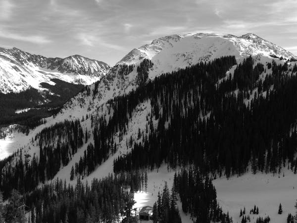
Upper Japanese Flag

A quick shot through the trees.
Moderate Freeride Skiing
- Distance
- 143 m
- Ascent
- 0 m
- Descent
- 55 m
A fun ramble through the trees.
Freeride Skiing Moderate

This is a popular freeride skiing route which is generally considered to be moderate. It's not remote, it features unknown exposure and is typically done in an unknown time of year. From a low point of 3.3 km to the maximum altitude of 3.4 km, the route covers 172 m, 0 vertical metres of ascent and 40 vertical metres of descent.
Japanese Flag Glade is a short, meandering line through the trees between Japanese Flag and Upper Patton. It’s not steep, but the ruts can get pretty big at times. It’s possible to cut out anywhere. Kids love this line!
Moderate
Slopes become slightly steeper at around 25-30 degrees.

Close to help in case of emergency.
131 m away
A quick shot through the trees.
Moderate Freeride Skiing
271 m away

A wide blue, with some moguls on the far side.
Easy Freeride Skiing
302 m away

A hidden powder pocket in the trees.
Moderate Freeride Skiing
349 m away

A waterslide-like line through the trees which is not steep.
Moderate Freeride Skiing
398 m away

Tree and open lines with full southern exposure.
Difficult Freeride Skiing
475 m away

Essentially another entrance to Twin Trees Chute
Severe Freeride Skiing
498 m away

A short and fun shot through the trees.
Moderate Freeride Skiing
558 m away

An interesting lines through moguls and big rocks.
Moderate Freeride Skiing
572 m away

A fun slot through the rocks.
Moderate Freeride Skiing
731 m away
An extreme couloir with cliff and rocks.
Extreme Freeride Skiing
2 routes · Freeride Skiing