30 m away
Dog Leg II

An extreme, technical line with cliffs and rocks.
Extreme Freeride Skiing
- Distance
- 156 m
- Ascent
- 0 m
- Descent
- 103 m
An extreme couloir with cliff and rocks.
Freeride Skiing Extreme

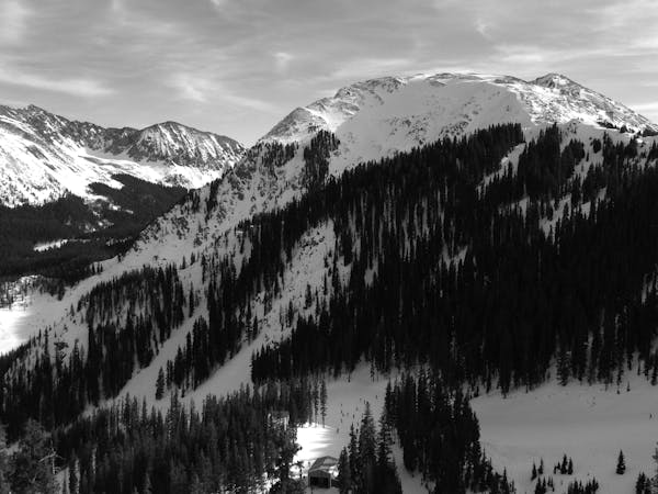
Paws is a line down the spine that overlooks the Hunziker area. Like Dog Leg II just above it, Paws is a steep, technical couloir off a narrow spine that spills into Hunziker. Never go alone and only go with a qualified local as a guide. It's very likely you'll run into a rope before you get there.
Extreme
Extreme skiing terrain above 45 degrees. These routes are reserved for experienced experts.

Little chance of being seen or helped in case of an accident.
30 m away
An extreme, technical line with cliffs and rocks.
Extreme Freeride Skiing
113 m away

A steep, extreme line into Hunziker Main
Extreme Freeride Skiing
162 m away

A fun slot through the rocks.
Moderate Freeride Skiing
174 m away

An interesting lines through moguls and big rocks.
Moderate Freeride Skiing
194 m away

A ramp-like wall dumping into Hunziker.
Severe Freeride Skiing
236 m away

Classic tree lines.
Difficult Freeride Skiing
258 m away

A narrow line near the bottom of Kachina Peak.
Moderate Freeride Skiing
558 m away

Big rocks and cliffs; a foolish choice.
Extreme Freeride Skiing
731 m away

A fun ramble through the trees.
Moderate Freeride Skiing
766 m away

A wide blue, with some moguls on the far side.
Easy Freeride Skiing
2 routes · Freeride Skiing