311 m away
Nastar

A narrow line near the bottom of Kachina Peak.
Moderate Freeride Skiing
- Distance
- 252 m
- Ascent
- 0 m
- Descent
- 118 m
Big rocks and cliffs; a foolish choice.
Freeride Skiing Extreme

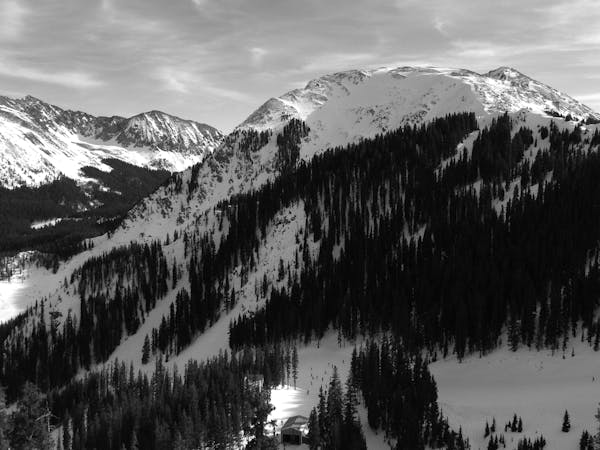
Curiously, the Taos Ski Valley trail map mentions Dahl-Bredine's in the description of Kachina Peak, but it's not on the map. Where it would be on the map is a red shaded off-limits area with K1 mistakenly going right through it. It's a good thing they don't tell you where it is because it's a femur-breaking gamble across rocks and off a cliff. Still, there are some people you just can't discourage. The cliff has been hit in extreme contests and at least one of these incidents ended ugly. There is one line known as Sasha's (one of Jean Mayer's sons) that finds an escape off a small ledge but if you go looking for it and don't find it, you might as well pitch a tent because you aren't leaving anytime soon. The ski patrol has put in anchors to rope people down. The spot is named after Chris Dahl-Bredine, who got dragged over it in an avalanche. These days you might see him flying above his big rock in an ultralight.
Extreme
Extreme skiing terrain above 45 degrees. These routes are reserved for experienced experts.

Away from help but easily accessed.
311 m away
A narrow line near the bottom of Kachina Peak.
Moderate Freeride Skiing
364 m away

A ramp-like wall dumping into Hunziker.
Severe Freeride Skiing
427 m away

Classic tree lines.
Difficult Freeride Skiing
499 m away

A steep, extreme line into Hunziker Main
Extreme Freeride Skiing
532 m away

An extreme, technical line with cliffs and rocks.
Extreme Freeride Skiing
539 m away

A fun slot through the rocks.
Moderate Freeride Skiing
558 m away
An extreme couloir with cliff and rocks.
Extreme Freeride Skiing
563 m away

An interesting lines through moguls and big rocks.
Moderate Freeride Skiing
647 m away

Essentially another entrance to Twin Trees Chute
Severe Freeride Skiing
693 m away

Tree and open lines with full southern exposure.
Difficult Freeride Skiing
2 routes · Freeride Skiing