72 m away
Nastar

A narrow line near the bottom of Kachina Peak.
Moderate Freeride Skiing
- Distance
- 252 m
- Ascent
- 0 m
- Descent
- 118 m
A ramp-like wall dumping into Hunziker.
Freeride Skiing Severe

This is a popular freeride skiing route which is generally considered to be severe. It's remote, it features unknown exposure and is typically done between January and April. From a low point of 3.5 km to the maximum altitude of 3.6 km, the route covers 111 m, 0 vertical metres of ascent and 47 vertical metres of descent.
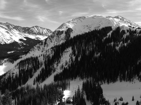
Dog Face joins Hunziker about halfway down. You lose the vertical of taking Hunziker from the top, but you can ski some of the trees in Prime Real Estate on you way there. It's a fun open face that rarely sees traffic and holds snow.
Severe
Steep skiing at 38-45 degrees. This requires very good technique and the risk of falling has serious consequences.

Away from help but easily accessed.
72 m away
A narrow line near the bottom of Kachina Peak.
Moderate Freeride Skiing
149 m away

A steep, extreme line into Hunziker Main
Extreme Freeride Skiing
159 m away

Classic tree lines.
Difficult Freeride Skiing
168 m away

An extreme, technical line with cliffs and rocks.
Extreme Freeride Skiing
194 m away
An extreme couloir with cliff and rocks.
Extreme Freeride Skiing
226 m away

A fun slot through the rocks.
Moderate Freeride Skiing
251 m away

An interesting lines through moguls and big rocks.
Moderate Freeride Skiing
364 m away

Big rocks and cliffs; a foolish choice.
Extreme Freeride Skiing
744 m away

Essentially another entrance to Twin Trees Chute
Severe Freeride Skiing
749 m away

A fun ramble through the trees.
Moderate Freeride Skiing
2 routes · Freeride Skiing