1.4 km away
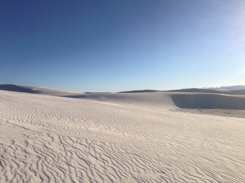
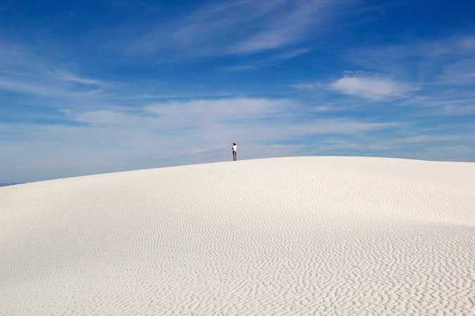
Alkali Flat Trail
A challenging hike with endless views as you wander through snow-white sand dunes.
Difficult Hiking
- Distance
- 7.8 km
- Ascent
- 61 m
- Descent
- 61 m
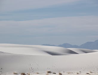
A quiet 2-mile loop with numerous opportunities to pitch a tent under the stars.
Hiking Moderate

This 2-mile hiking loop offers stunning views of the world's largest gypsum dunefield without "having to venture too far from one's vehicle." While it is most often utilized by backpackers, this stunning hike wanders through snow-white dunes and awards endless views along the way. Most visitors complete this route in less than 90 minutes, though if you choose to camp overnight, you'll be rewarded with spectacular views at dusk and dawn.
The Backcountry Camping Trail is blazed with an orange marker and accompanying symbol. Under normal conditions, it is easy to follow; however, the National park Service warms that "if you cannot see the next trail marker because of blowing sand or because the trail marker is knocked down, do not proceed - return to your car." Weather conditions, especially strong winds, has been known to limit visibility to mere feet, and temperature can exceed 100 degrees during the summer months. The NPS also recommends visitors "do not start the hike if the temperature is at or above 85°F (30°C).
The trailhead for this classic hike is large and offers adequate space to turn around a trailer or larger RV. There is no water or shade anywhere along the trail, but there is a vault toilet available in the parking lot.
Moderate
Hiking along trails with some uneven terrain and small hills. Small rocks and roots may be present.

The trail contains some obstacles such as outcroppings and rock which could cause injury.
Away from help but easily accessed.
1.4 km away
A challenging hike with endless views as you wander through snow-white sand dunes.
Difficult Hiking
3 km away
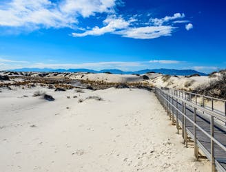
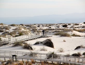
A fully-accessible and pet-friendly short hike highlighting "the science, geology, plants, and animals that make White Sands an unequaled natural wonder."
Easy Hiking
5.2 km away

An easy self-guided hike perfect for the entire family!
Moderate Hiking
5.2 km away
The easy, level hike through a playa with an ever-changing habitat fueled by rain and summer monsoons.
Easy Hiking
5 routes · Hiking

22 routes · Mountain Biking · Hiking · Trail Running

63 routes · Alpine Climbing · Hiking