8.9 km away
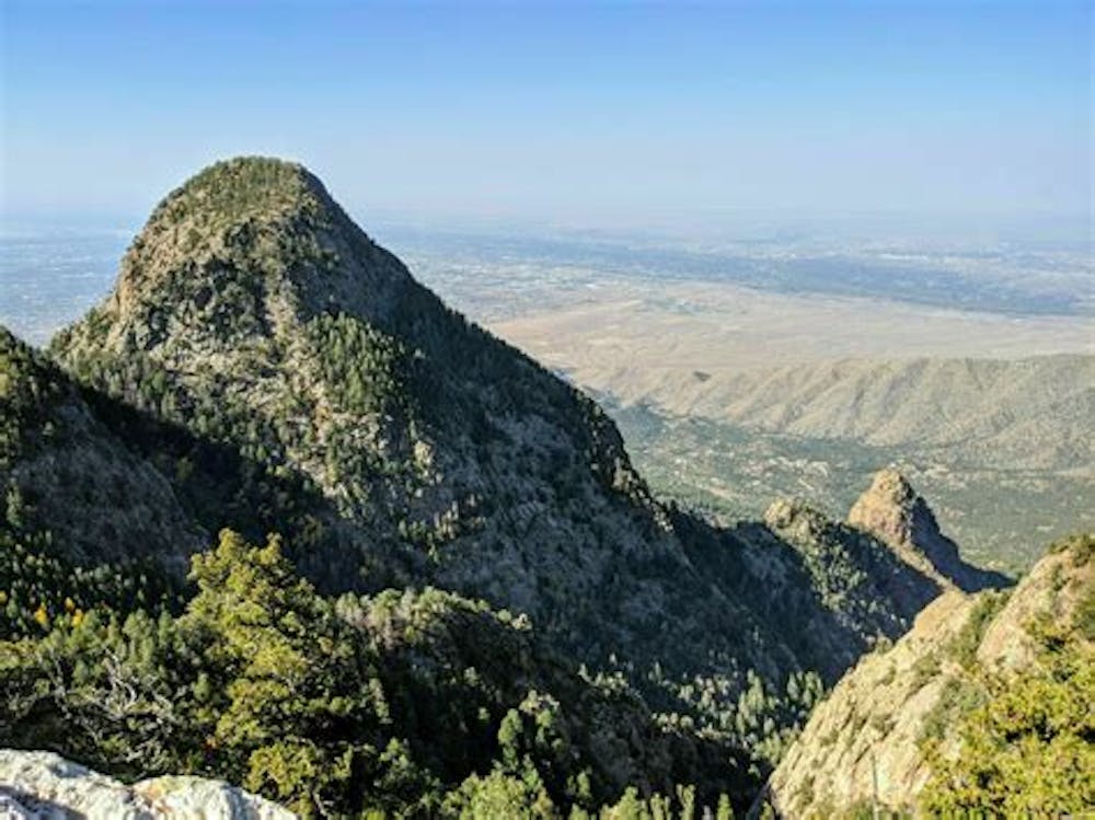
La Luz Trail
A grueling but worthy ascent (or descent) of the Sandia Crest.
Difficult Hiking
- Distance
- 24 km
- Ascent
- 1.1 km
- Descent
- 1.1 km
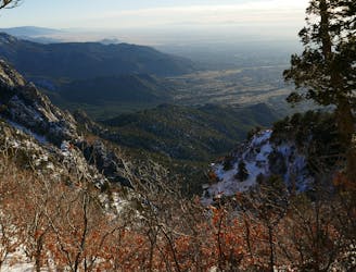
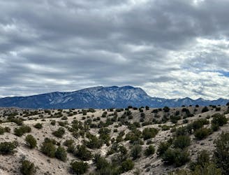
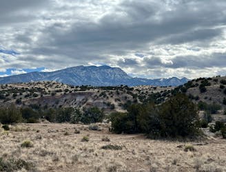
This is a hike to north sandia peak, starting at the Osha Spring trail head ending the north peak
Hiking Difficult

This is a popular hiking route which is generally considered to be difficult. It's remote, it features medium exposure and is typically done between February and April. From a low point of 2 km to the maximum altitude of 3.2 km, the route covers 11 km, 1208 vertical metres of ascent and 12 vertical metres of descent.
This is a hike to North Sandia peak. Do this hike in winter or spring or fall, it is EXTREMELY HOT in the summer. It is relatively difficult and remote. It starts at the Osha spring trailhead, next to a stream.
Difficult
Hiking trails where obstacles such as rocks or roots are prevalent. Some obstacles can require care to step over or around. At times, the trail can be worn and eroded. The grade of the trail is generally quite steep, and can often lead to strenuous hiking.

The trail contains some obstacles such as outcroppings and rock which could cause injury.
Away from help but easily accessed.
8.9 km away
A grueling but worthy ascent (or descent) of the Sandia Crest.
Difficult Hiking
9.6 km away
A short but scenic loop in the Placitas North trail system.
Easy Hiking
9.6 km away
A logical loop hitting the best trails in the little-used Placitas North trail system.
Easy Hiking

22 routes · Mountain Biking · Hiking · Trail Running