Aspenola
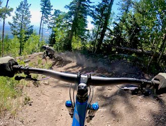
The only "flow trail" down the mountain at Pajarito.
Moderate Mountain Biking
- Distance
- 4 km
- Ascent
- 7 m
- Descent
- 345 m

A spicier trail combination anchored by the Aspenola flow trail.
Mountain Biking Difficult

Aspenola, aka Aspen Flow Trail, is the only somewhat easy flow trail in the entire Pajarito Bike Park as of the time of this writing in 2023. Yes, there are a few easier trails down the mountain (such as Cub Scout), but those other trails ride more like access roads than actual mountain bike trails.


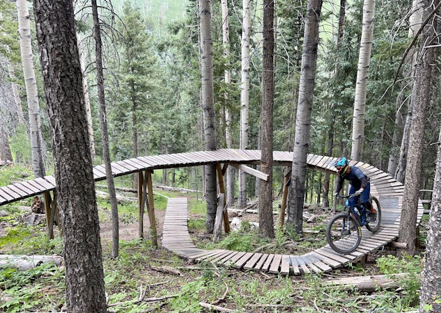
Aspenola was originally a hand-built singletrack route down the mountain like the rest of the trails at Pajarito, but it was retrofitted a couple of years ago with some machine-built berms. As such, it's a fairly good flow trail, but at times you can definitely feel the retrofit nature when the flow changes or there’s a gap between the flowy bits. Consequently, it’s not a perfect flow trail, but it’s the best easy route down the mountain and is a bit of a crowd-pleaser as a result.
While you'll find some decent berms on Aspenola, there are very few jumps to be had. There are a couple of small hits mixed in, but most of the trail consists of swooping through berms and high-speed ripping in between.
The bottom section of Aspenola is a bit boring, so advanced riders usually follow this trail combination, connecting Aspenola to Downtown Aspenola and the lower section of Dog Patch. This connection ratchets up the technical difficulty a bit, with a rocky drop in and some roots on Downtown Aspenola, and optional drops and jumps on lower Dog Patch. However, these sections are more moderate than most of the very technical trails on the mountain, making this route combination a great warmup run.
Difficult
Mostly stable trail tread with some variability featuring larger and more unavoidable obstacles that may include, but not be limited to: bigger stones, roots, steps, and narrow curves. Compared to lower intermediate, technical difficulty is more advanced and grades of slopes are steeper. Ideal for upper intermediate riders.

The only "flow trail" down the mountain at Pajarito.
Moderate Mountain Biking
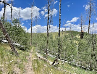
One of the easier downhills on the mountain.
Moderate Mountain Biking
1 m away
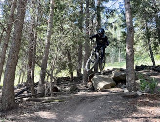
One of Pajarito's top downhill race runs.
Severe Mountain Biking
1 m away
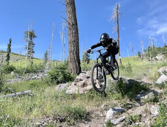
An approachable advanced-level trail that's perfect for working up to some of the extreme lines in the Pajarito Bike Park.
Severe Mountain Biking
1 m away
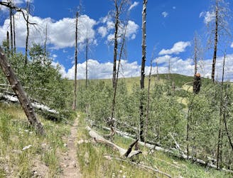
The more downhill-oriented version of Aspen for Trouble.
Difficult Mountain Biking
1 m away
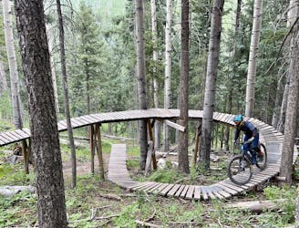
One of the best and most feature-filled trails in the Pajarito Bike Park.
Extreme Mountain Biking
1 m away
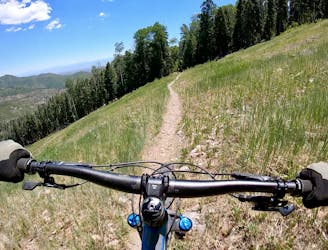
One of the easiest routes down the mountain.
Easy Mountain Biking
1 m away
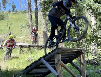
Natural Selection will weed the week out of the mountain biking population.
Extreme Mountain Biking
1 m away
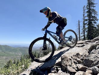
The most technical line in the Pajarito Bike Park.
Extreme Mountain Biking
1 m away
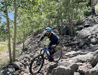
A relentless downhill race run filled with endless chunder.
Extreme Mountain Biking
13 routes · Mountain Biking