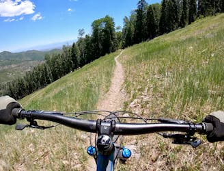
Aspen for Trouble -> Half Aspen
The more downhill-oriented version of Aspen for Trouble.
Difficult Mountain Biking
- Distance
- 4 km
- Ascent
- 9 m
- Descent
- 348 m
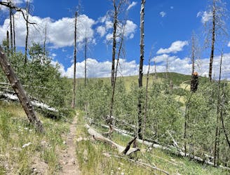
An approachable advanced-level trail that's perfect for working up to some of the extreme lines in the Pajarito Bike Park.
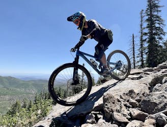
Mountain Biking Severe

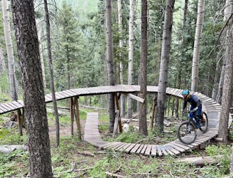
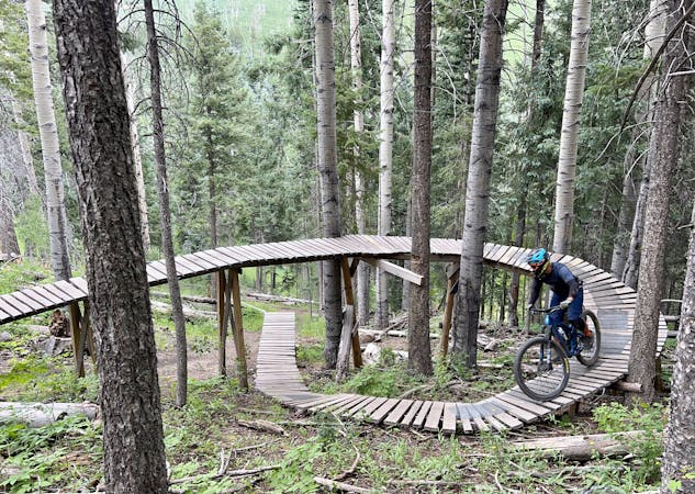
While the name of this route is long, it's actually a very logical and consistent run through the Pajarito Bike Park... it just happens to include at least five different trails. After heading across on Aspen for Trouble, you'll connect Sidewinder to Air Raid to Battle Stations to Mayday for a tribute to the World War II history of Los Alamos.
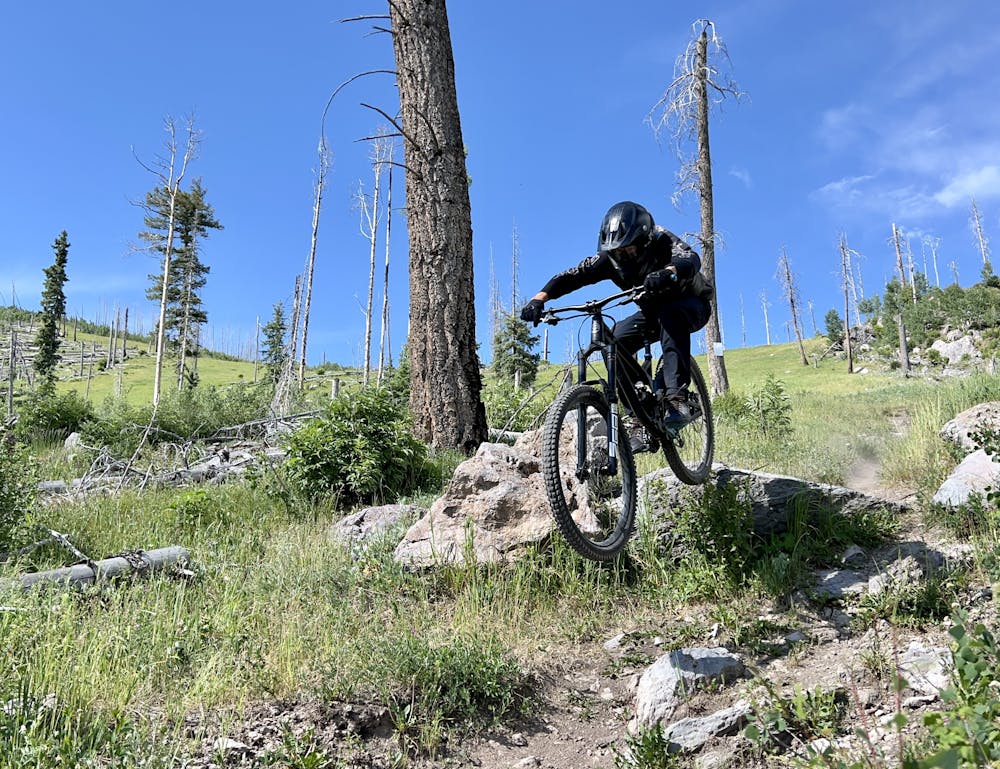
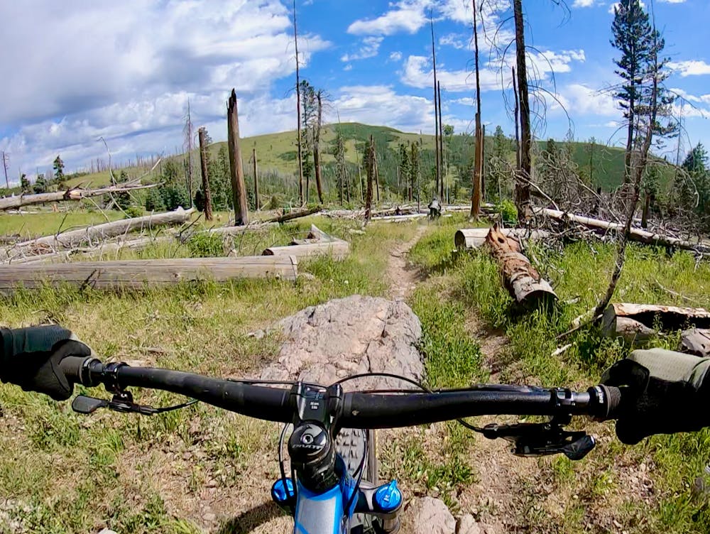
Sidewinder is fairly fast and flowy, but the run begins to get serious on Air Raid. Air Raid is filled with boulder drops and plenty of huckortunities to keep advanced riders entertained. There's also one fairly substantial step-down drop that you can send or bypass.
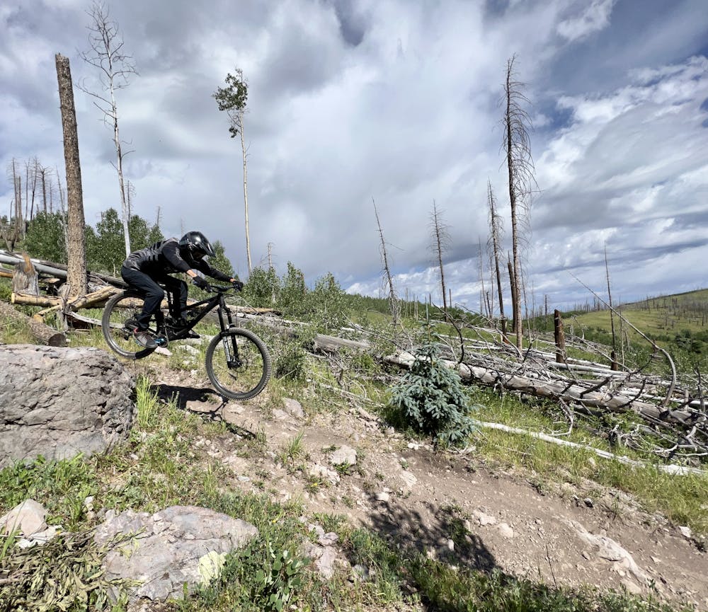
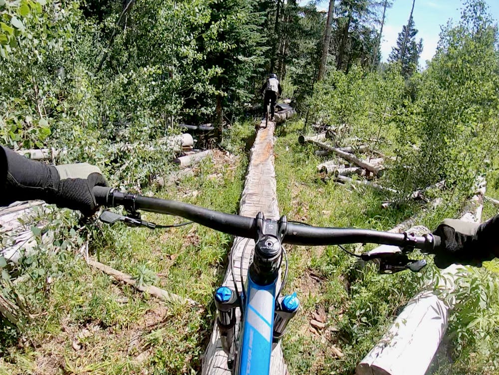
Battle Stations continues the jump and drop trend but also includes a long log ride. In classic Pajarito fashion, you'll have to tackle both slow-speed log rides and high-speed drops and hucks in order to ride this run in style!
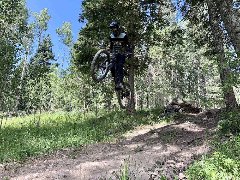
Mayday finishes off fast with a few more boulder drops and high-speed features for a riotous finish to a fun rip down the mountain!
This run has been given a FATMAP "Severe" rating and, as such, is quite approachable for advanced-level riders compared to many of the "Extreme" runs down the mountain. That said, depending on the type of riding you're used to, Pajarito's old-school gnar could still prove extremely challenging even on one of their not-totally-insanely-difficult trails.
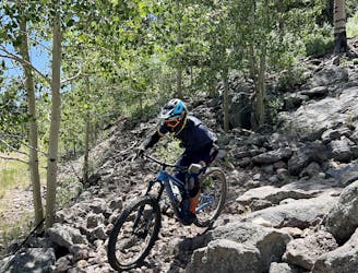
Severe
Widely variable, narrow trail tread with steeper grades and unavoidable obstacles of 15in/38cm tall or less. Obstacles may include unavoidable bridges 24in/61cm wide or less, large rocks, gravel, difficult root sections, and more. Ideal for advanced-level riders.

The trail contains some obstacles such as outcroppings and rock which could cause injury.

Close to help in case of emergency.
The more downhill-oriented version of Aspen for Trouble.
Difficult Mountain Biking

One of Pajarito's top downhill race runs.
Severe Mountain Biking
1 m away

One of the easier downhills on the mountain.
Moderate Mountain Biking
1 m away
The only "flow trail" down the mountain at Pajarito.
Moderate Mountain Biking
1 m away
A spicier trail combination anchored by the Aspenola flow trail.
Difficult Mountain Biking
1 m away
One of the easiest routes down the mountain.
Easy Mountain Biking
1 m away
The most technical line in the Pajarito Bike Park.
Extreme Mountain Biking
1 m away
A relentless downhill race run filled with endless chunder.
Extreme Mountain Biking
1 m away
Natural Selection will weed the week out of the mountain biking population.
Extreme Mountain Biking
2 m away
One of the best and most feature-filled trails in the Pajarito Bike Park.
Extreme Mountain Biking
13 routes · Mountain Biking