1.6 km away
Pajarito Mountain: Aspen Loop
A great XC loop ride on Pajarito Mountain.
Moderate Mountain Biking
- Distance
- 12 km
- Ascent
- 434 m
- Descent
- 435 m
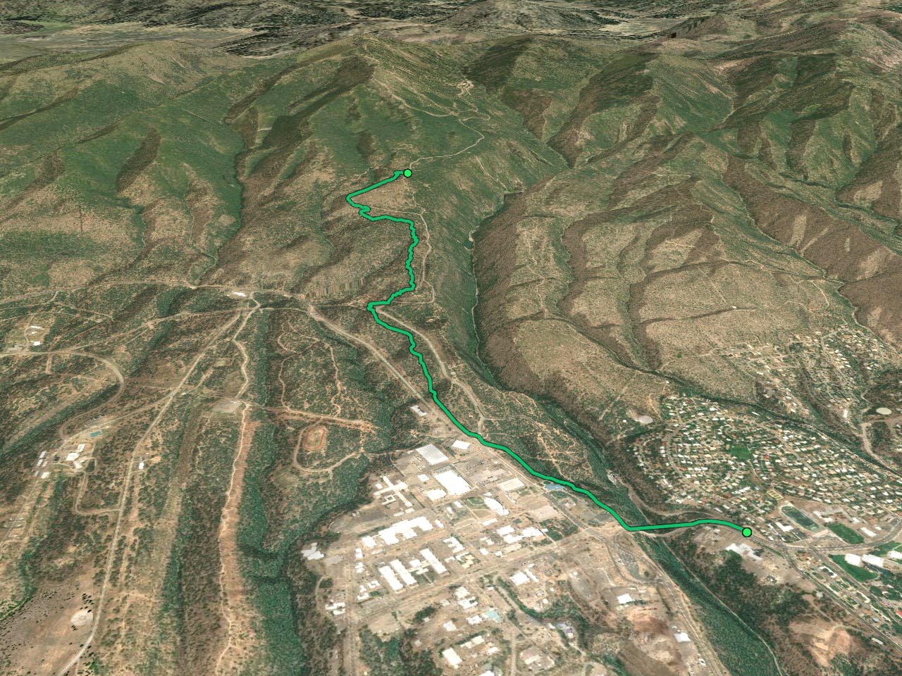
A ripping shuttle run from the flanks of Pajarito Mountain to the town of Los Alamos.
Mountain Biking Difficult
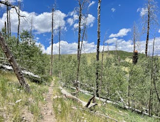
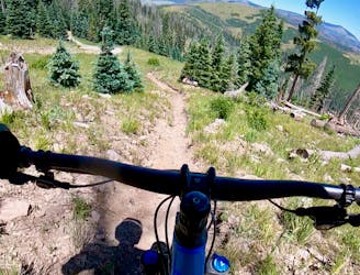
The Camp May Road Trail is a short but sweet shuttle run beginning off the side of the road by the same name. Unfortunately, the singletrack doesn't quite stretch all the way to Pajarito Bike Park due to a fire that destroyed a section of trail. However, the singletrack that remains is still a sweet ride!
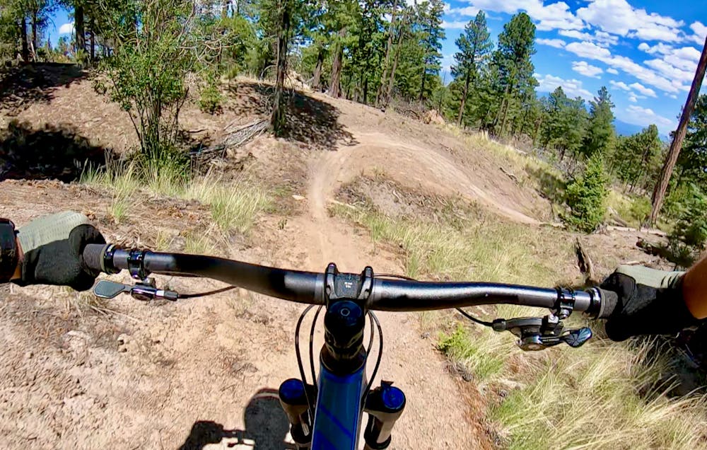
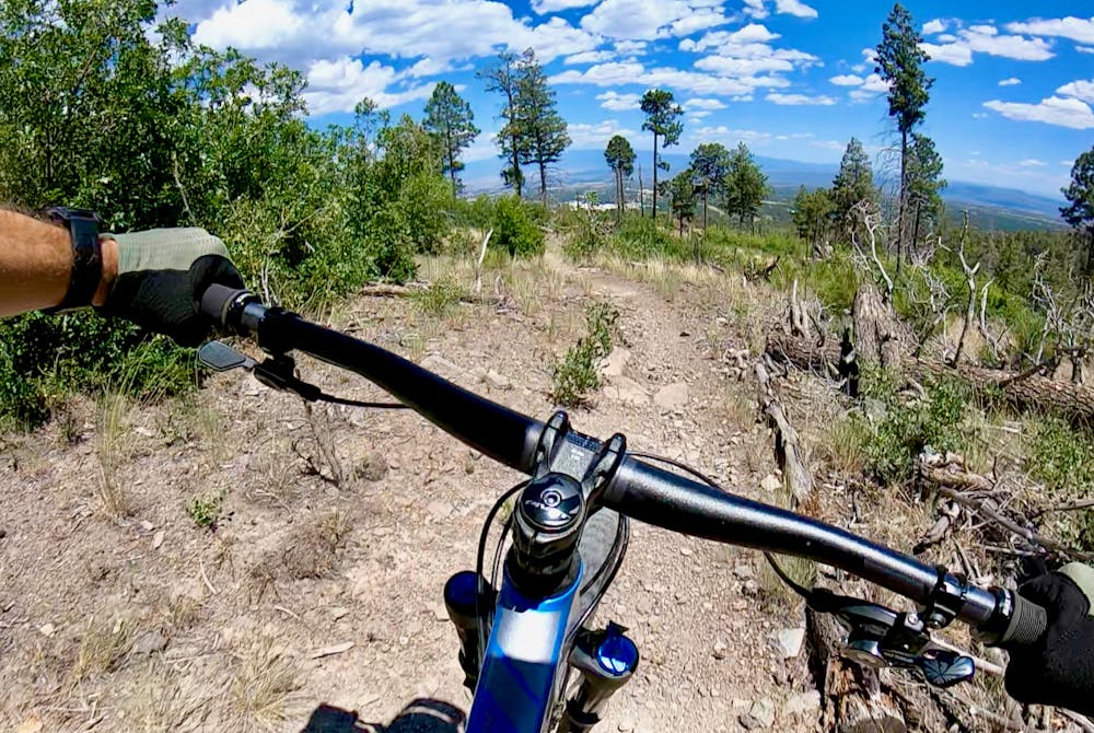
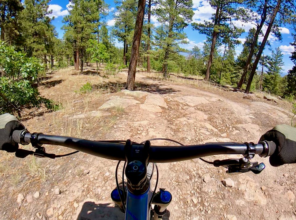
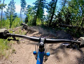
The route mapped here begins descending almost immediately on a mellow, flowy singletrack trail. As you descend, the trail gets progressively rockier and more technical, but the wide-open sight lines allow you to blaze down the mountainside at mach-chicken! You'll often come flying off a smooth singletrack, blast through some rock slabs and chunk, and then return to the smooth track very quickly.
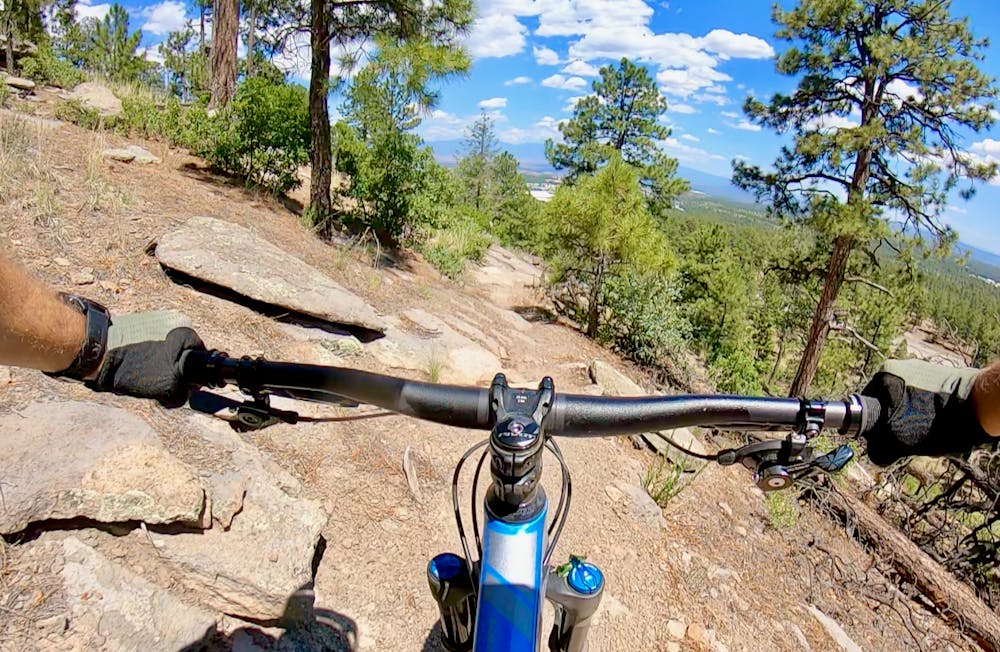
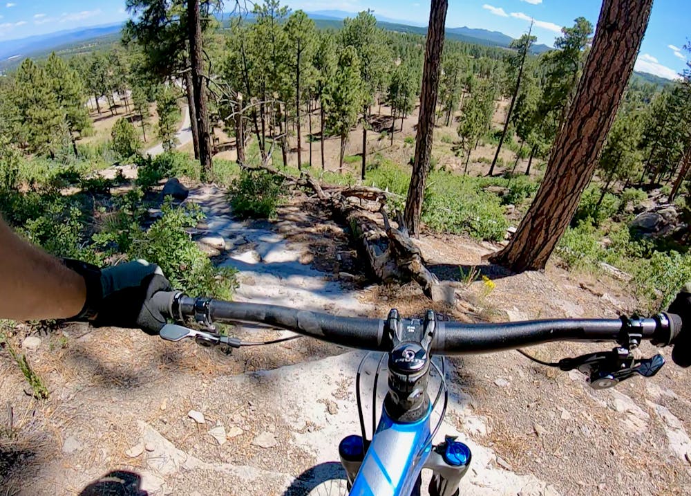
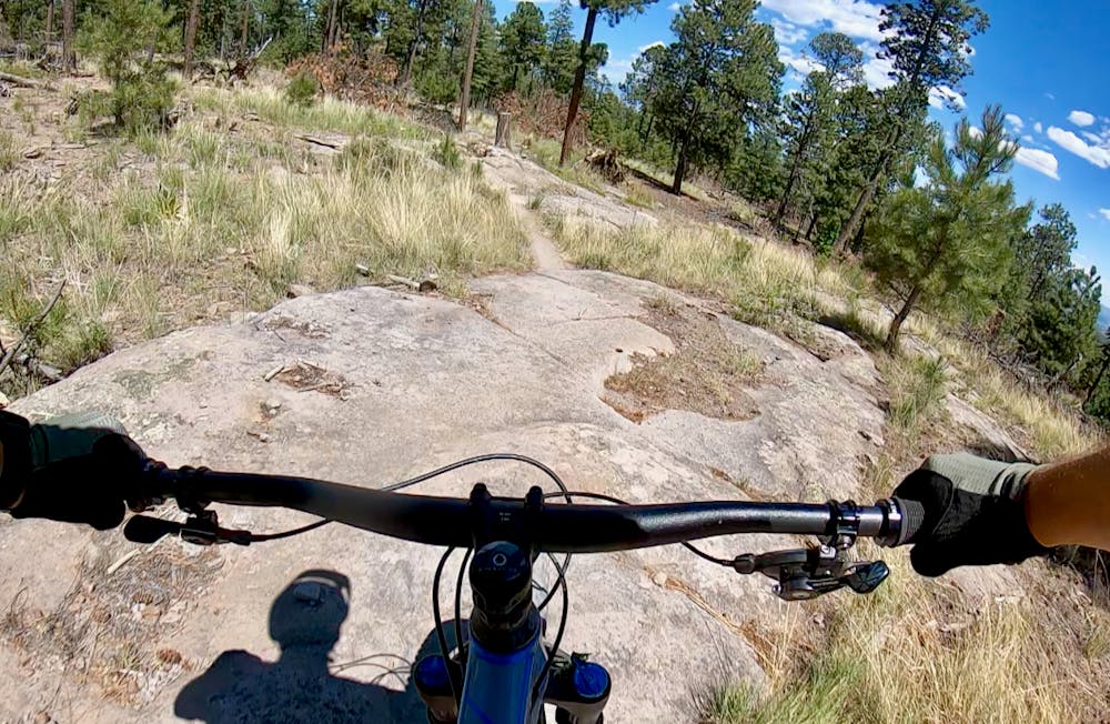
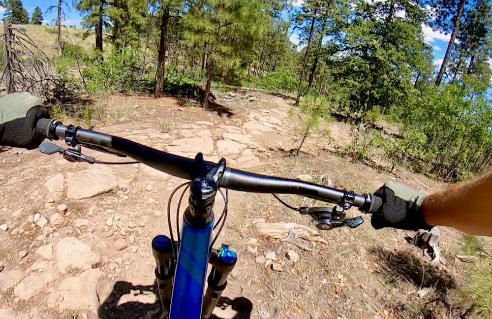
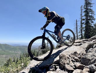
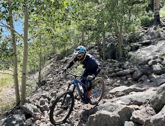
The lower section of the trail gets significantly rockier, with a series of embedded slabs. As the singletrack reaches a steeper section of hillside, it switchbacks a few times to descend the steep final pitch. One section on this final pitch features big rock blocks and loose sliding sand and rock bits. Coupled with the exposure, this section can be difficult or impossible to ride. This one brief section definitely exceeds the FATMAP "Difficult" rating noted here, but the entire ride overall is nowhere near a "Severe" rating, so you'll just have to deal with walking this one short section.
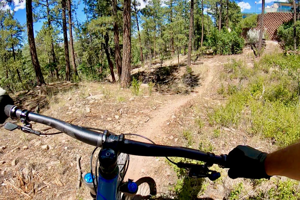
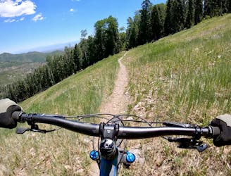
After dropping off the steep hillside, a few swoopy bits lead to the highway. After crossing the highway, you'll pick up the Gabriella trail to keep the descent rolling.
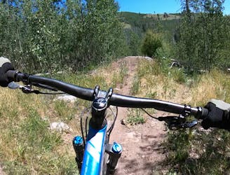
If anything, Gabriella is even easier and straighter than Camp May was, and you'll rocket down the mellow grade of the mountainside, heading for Los Alamos below. Stay on the trail and avoid the National Laboratory as you pass through this closely-monitored parcel of land—it's unclear what the regulations on accessing this land are. That said, the trails shown here are all signed, so they appear to be legit. Regardless, don't linger, and zip through the Laboratory land quickly. The final section is swoopy and fast, and you'll pop out onto a bike path near the highway. Take the bike path across a spectacular bridge, and you're back in Los Alamos!
Difficult
Mostly stable trail tread with some variability featuring larger and more unavoidable obstacles that may include, but not be limited to: bigger stones, roots, steps, and narrow curves. Compared to lower intermediate, technical difficulty is more advanced and grades of slopes are steeper. Ideal for upper intermediate riders.

The trail contains some obstacles such as outcroppings and rock which could cause injury.
Away from help but easily accessed.
1.6 km away
A great XC loop ride on Pajarito Mountain.
Moderate Mountain Biking
2.9 km away
Pajarito's advanced jump line.
Severe Mountain Biking
2.9 km away
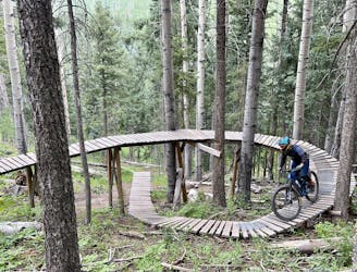
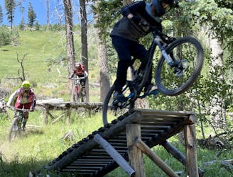
One of the best and most feature-filled trails in the Pajarito Bike Park.
Extreme Mountain Biking
2.9 km away
A primary artery down this section of the mountainside.
Severe Mountain Biking
2.9 km away
One of the easiest routes down the mountain.
Easy Mountain Biking
2.9 km away
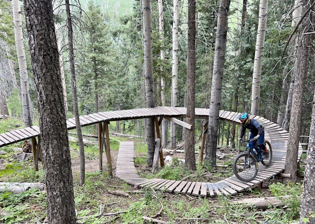
The most technical line in the Pajarito Bike Park.
Extreme Mountain Biking
2.9 km away
A relentless downhill race run filled with endless chunder.
Extreme Mountain Biking
2.9 km away
Natural Selection will weed the week out of the mountain biking population.
Extreme Mountain Biking
2.9 km away

One of the easier downhills on the mountain.
Moderate Mountain Biking
2.9 km away
The only "flow trail" down the mountain at Pajarito.
Moderate Mountain Biking
13 routes · Mountain Biking