3.2 km away
Green Chili
Taos Ski Valley's inaugural downhill run.
Moderate Mountain Biking
- Distance
- 6.1 km
- Ascent
- 30 m
- Descent
- 395 m
A steep climb leads to stunning views of the tallest mountains in New Mexico.
Mountain Biking Difficult

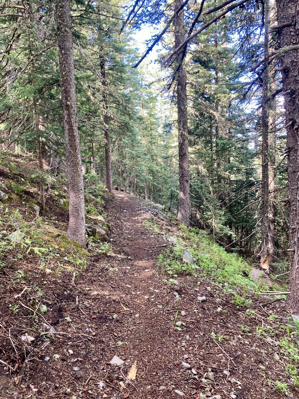
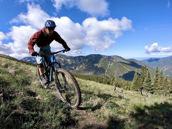
There isn't a ton of mountain biking to be found near Taos Ski Valley, but there are a few bike-legal singletrack trails tucked away on top of a mountain, thousands of feet above the village. Known as "Northside at Taos," this trail system demands that you pay with sweat to reach the goods. Indeed, you'll climb almost 2,000 feet from the valley floor up a steep, relentless gated road grade for miles and miles before you even see the first signs of singletrack. Then, once on the trails, you'll continue to climb, squirreling along narrow, loamy singletrack as you go higher and higher, finally—FINALLY!!—cresting the top of the ridge.

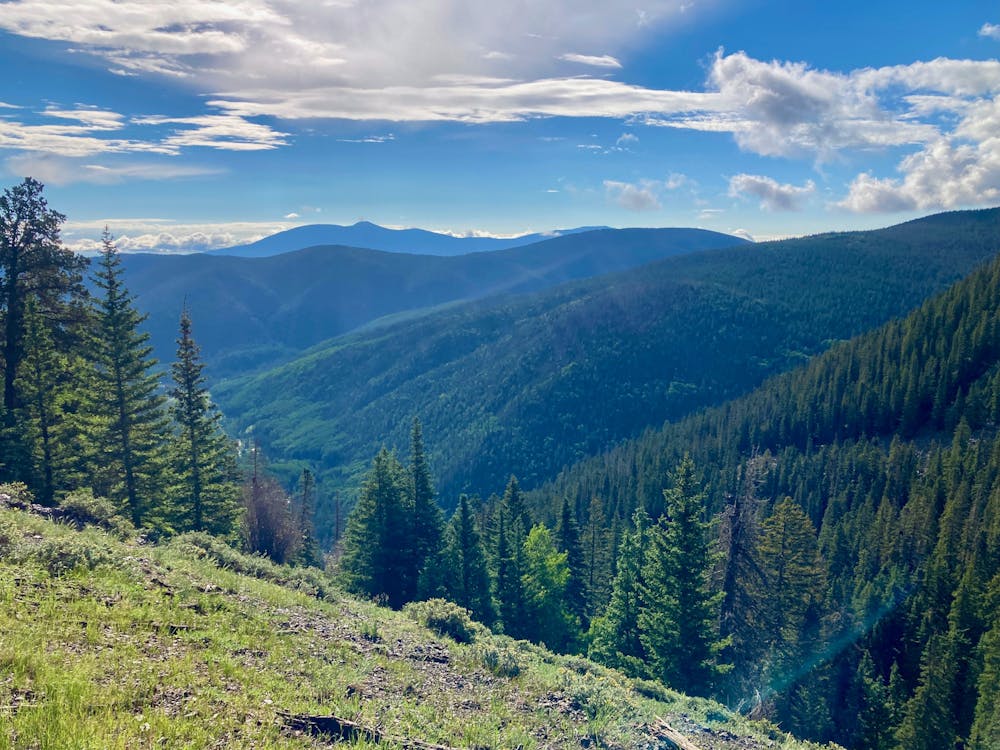
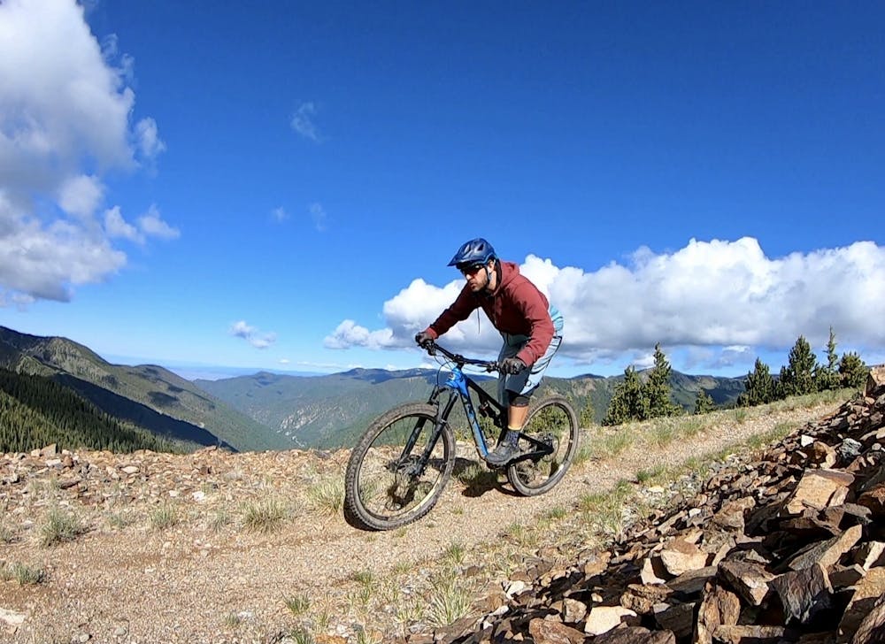
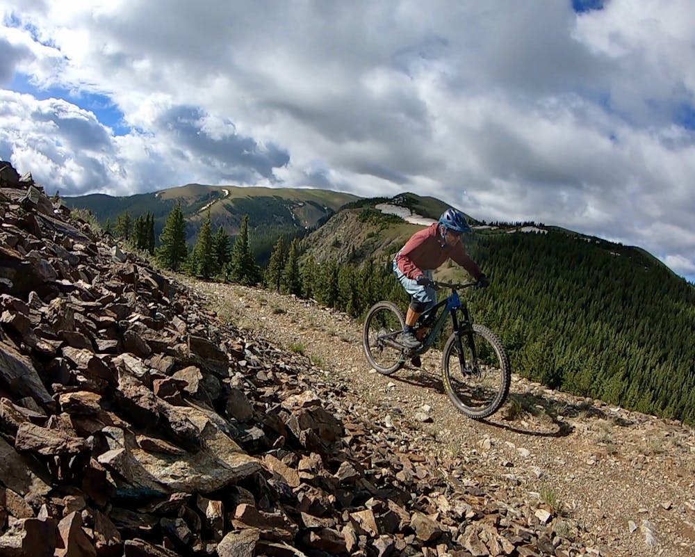
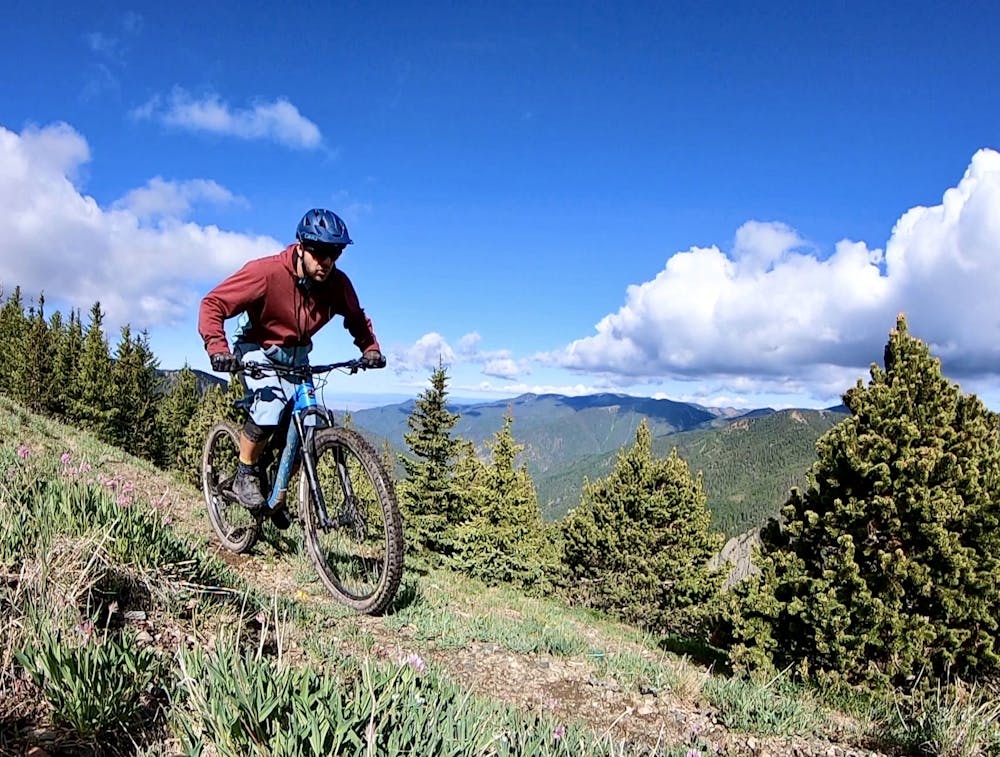
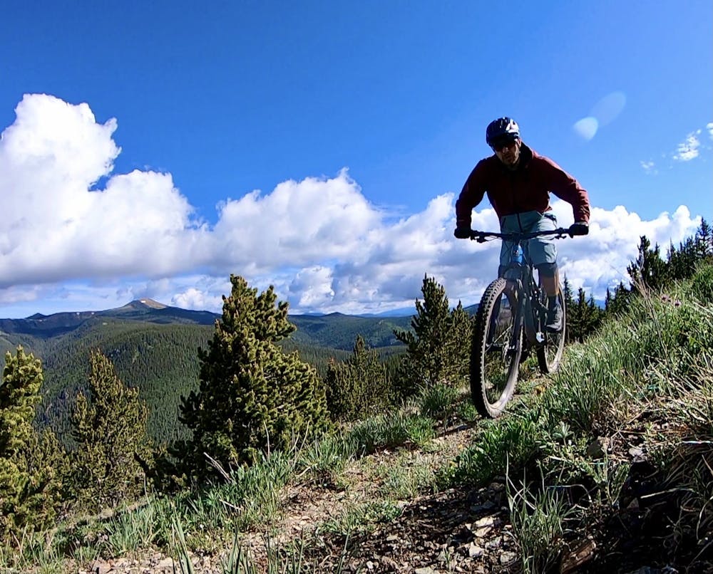
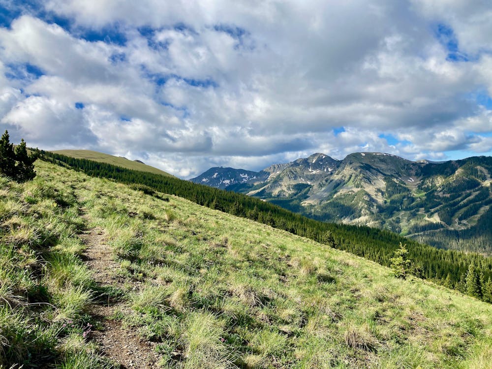
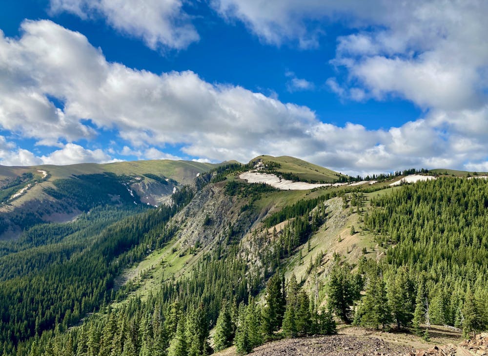
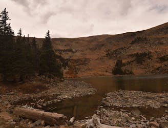
After cresting the ridge, a bit more pedaling and climbing will bring you to the top of Bull-of-the-Woods Mountain, offering expansive 360-degree views of the tallest mountain peaks in the State of New Mexico.
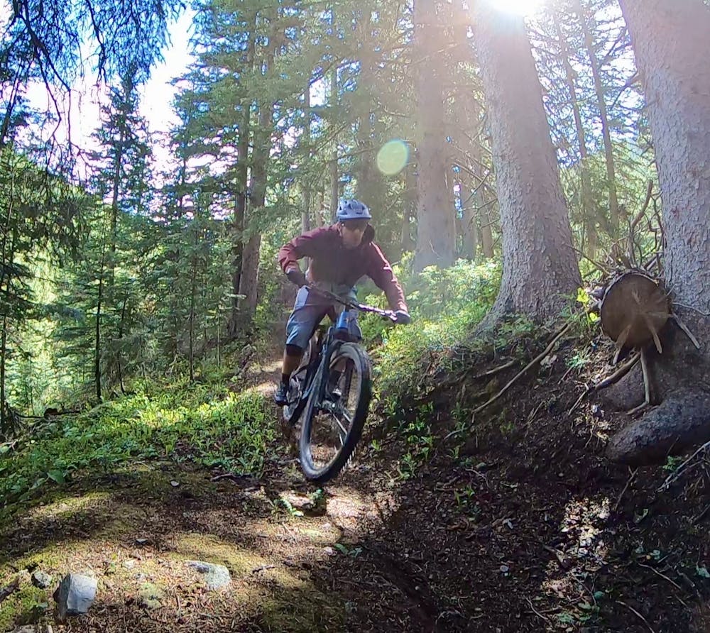
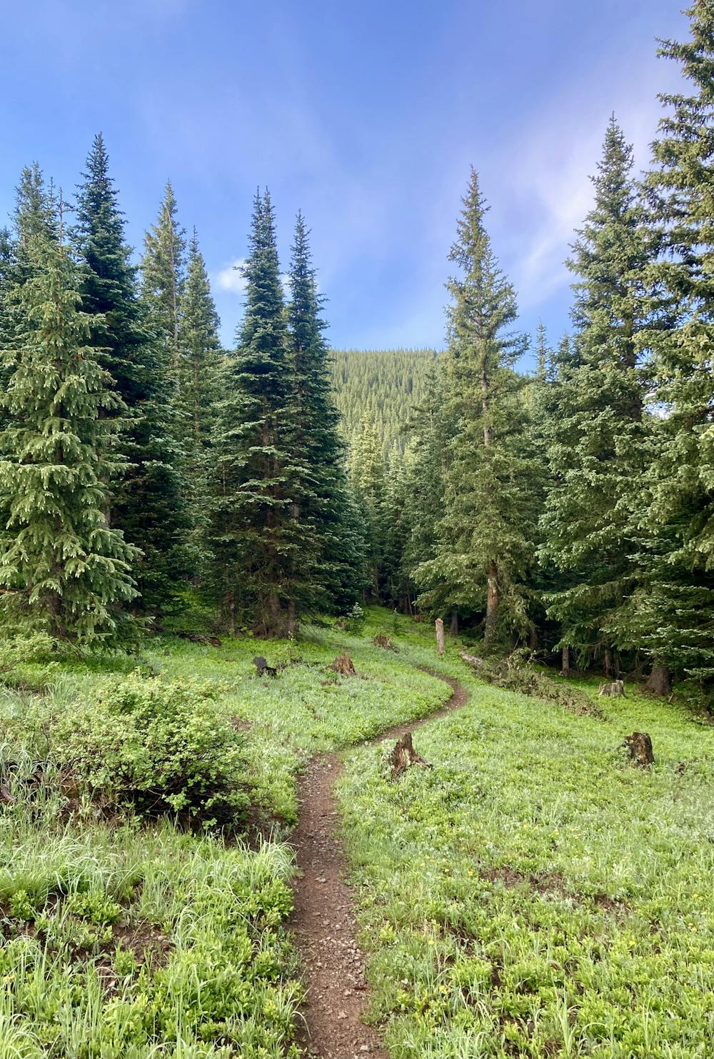
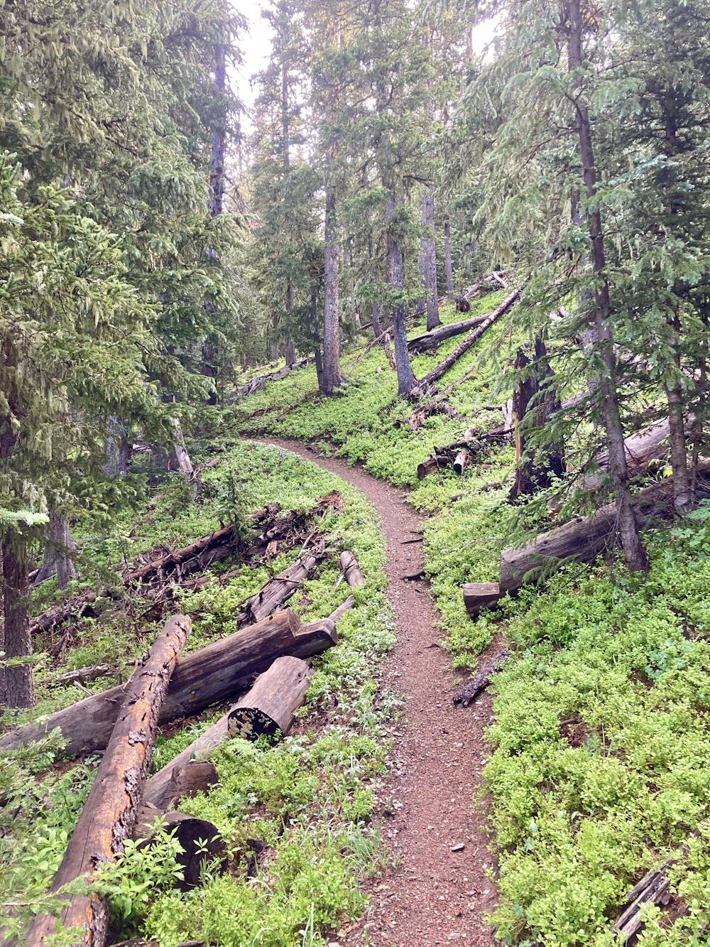
This loop on Northside is by no means a world-class singletrack ride. There's way too much dirt road and doubletrack, both on the way up and the way down. But when this ride finally gets to the good bits, they're really good! Sinuous loamy singletrack snakes beneath dark, dense pine trees, climbing, meandering, and then dropping precipitously down the mountain. Some sections of grassy little-ridden singletrack traverse high alpine meadows, providing jaw-dropping views of the mountains all around! And at the right time of year, all of these alpine meadows will be filled to bursting with wildflowers.
No, this ride isn't easy. Yes, the navigation is downright confusing. Sure, losing thousands of feet of elevation on dirt roads feels like a waste of effort.
But I'll be damned if the views off the top and the short ribbons of loam don't make it all worth it!
Difficult
Mostly stable trail tread with some variability featuring larger and more unavoidable obstacles that may include, but not be limited to: bigger stones, roots, steps, and narrow curves. Compared to lower intermediate, technical difficulty is more advanced and grades of slopes are steeper. Ideal for upper intermediate riders.

The trail contains some obstacles such as outcroppings and rock which could cause injury.
Away from help but easily accessed.
3.2 km away
Taos Ski Valley's inaugural downhill run.
Moderate Mountain Biking
5.6 km away
An excellent 14-mile ride that includes secluded forest and exposed rock zones.
Difficult Mountain Biking
9 routes · Mountain Biking