1 m away
Devinci's Code
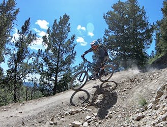
Flowy, steep, and scenic.
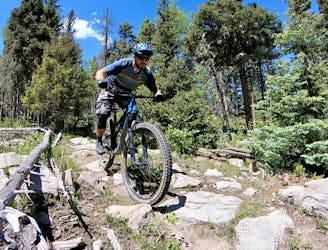
Difficult Mountain Biking
- Distance
- 3 km
- Ascent
- 5 m
- Descent
- 278 m
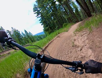
An entertaining connector trail along the top of the bike park.
Mountain Biking Difficult

While Ziggy is primarily used as a connector trail to reach major descents such as Diesel, Turbo Diesel, Upper Boogie, and World Cup, it is a great little romp through the forest all on its.
Beginning directly from the top of the chairlift, this traversing trail descends a mellow hill, providing just enough vertical drop to keep you from having to pedal through it. Despite the intermediate rating, Ziggy still has some tricky root webs, small drops, and small jumps mixed in.
While other bike parks might make their connector trails smooth and boring, Ziggy keeps even the short connection highly entertaining, forming a critical part of an entertaining downhill mountain bike romp for riders intermediate and above.
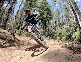
Difficult
Mostly stable trail tread with some variability featuring larger and more unavoidable obstacles that may include, but not be limited to: bigger stones, roots, steps, and narrow curves. Compared to lower intermediate, technical difficulty is more advanced and grades of slopes are steeper. Ideal for upper intermediate riders.

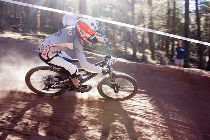
The trail contains some obstacles such as outcroppings and rock which could cause injury.

Close to help in case of emergency.
1 m away
Flowy, steep, and scenic.
Difficult Mountain Biking
3.2 km away
A loop incorporating the only climbing trail at Angel Fire Resort.
Difficult Mountain Biking
4.5 km away

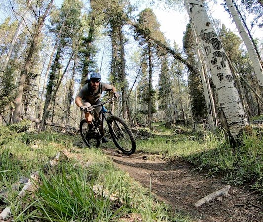
A quick pedal from Angel Fire leads to a beautiful aspen grove.
Moderate Mountain Biking
4.8 km away
An epic loop ride from downtown Angel Fire.
Difficult Mountain Biking
4.8 km away
A convenient beginner loop that's rideable directly from downtown Angel Fire.
Easy Mountain Biking
9.3 km away
An epic, challenging backcountry loop on little-ridden singletrack.
Difficult Mountain Biking
28 routes · Mountain Biking
5 routes · Mountain Biking