281 m away
Big Kahuna Loop
An epic loop ride from downtown Angel Fire.
Difficult Mountain Biking
- Distance
- 33 km
- Ascent
- 976 m
- Descent
- 976 m
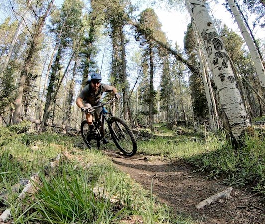
A quick pedal from Angel Fire leads to a beautiful aspen grove.
Mountain Biking Moderate

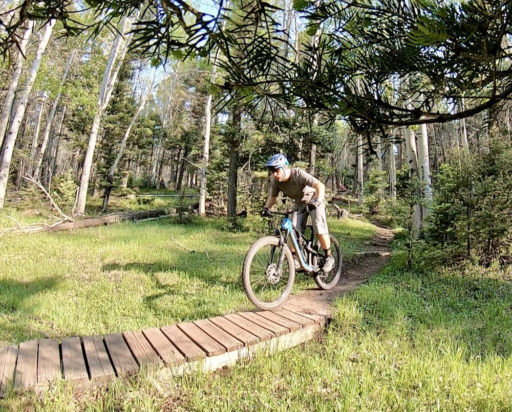
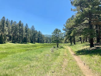
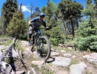
Angel Fire's local town trails are known as either the "Greenbelt Trails" or simply the "Angel Fire Trails," and they are located across the highway from the ski resort. Running through residential areas and into the woods, you can create several small loops, ranging from true beginner to upper-intermediate in difficulty. The route mapped here is one of the best options, hitting some of the best chunks of singletrack.

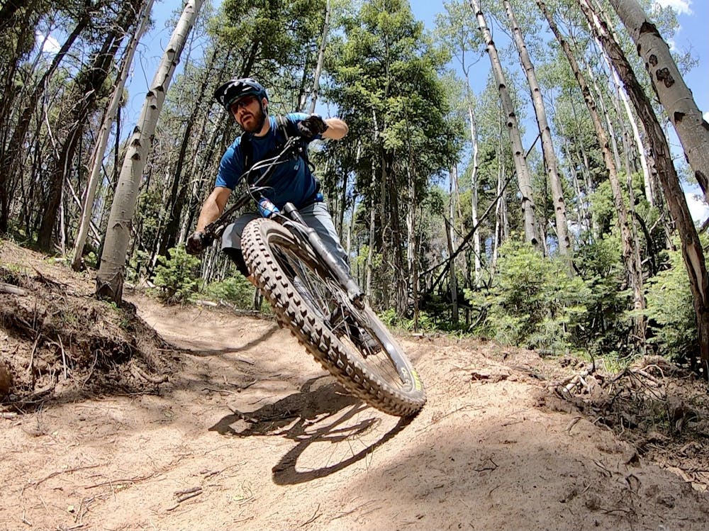
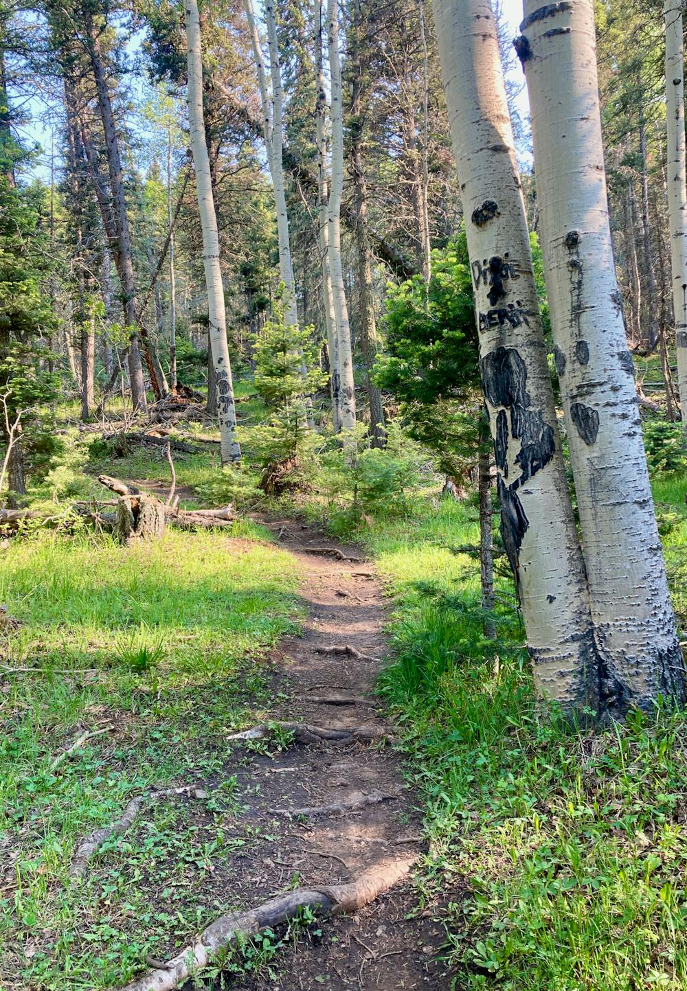
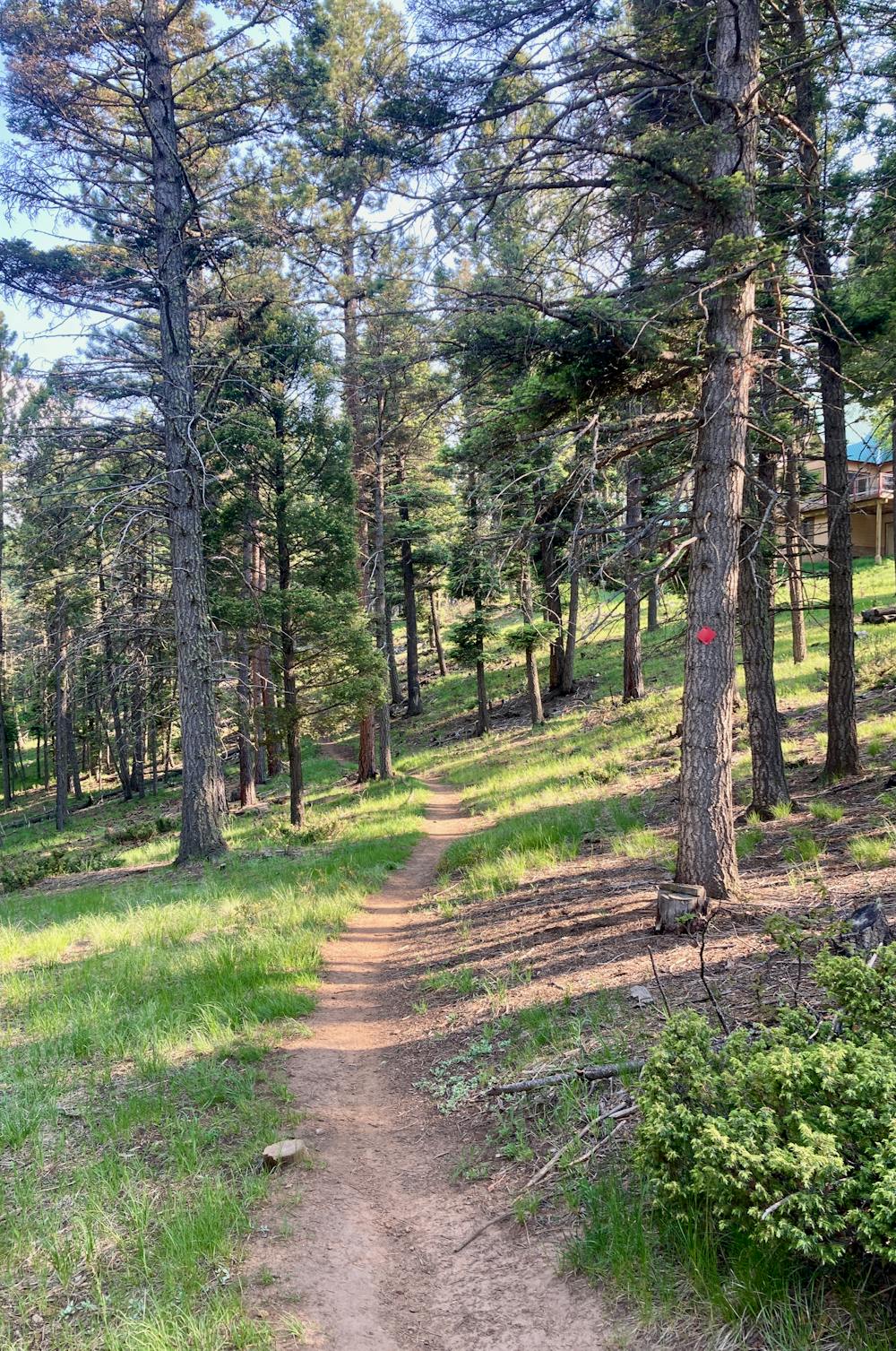
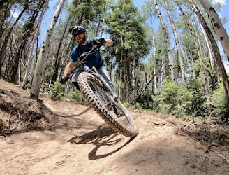
To begin, pedal out from "downtown" Angel Fire on El Sendero Del Sol to reach the Bear Trail. Bear climbs up a mellow meadow to reach Coyote, where the climbing begins in earnest. After a few steep switchbacks, you've gained most of the elevation and will undulate up and down as you climb and descend a series of ridges on a beautiful, narrow singletrack trail. Coyote is one of the highlights of the Greenbelt Area, passing through gorgeous aspen groves on dark black dirt. Roots cross the trail, and the occasional rock crops up, but overall it isn't too difficult.
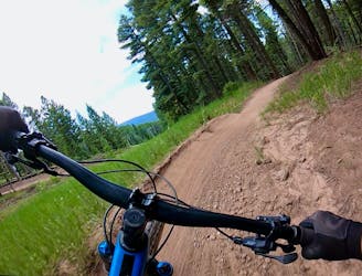
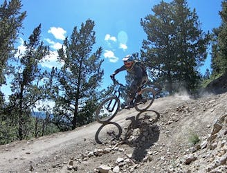
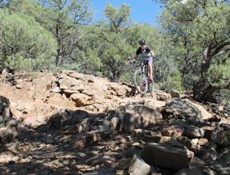
This route goes out of its way to reach a sweet set of berms that have recently been built on the Powerline Trail. While you can climb a steep hike-a-bike from Coyote to the top of the berms, the route mapped here drops out onto a dirt road and ascends the gravel road for a more rideable climb.
The small pack of berms provides a swoopy, flowy romp through a small stand of trees that's over far too soon. Once done with the berms, you can finish the descent back to town on the somewhat awkward Sage Trail, or cut over to Deer for a less-awkward but very mellow descent.
Moderate
Mostly stable trail tread with some variability, with unavoidable obstacles 8in/20cm tall or less. Other obstacles such as rock gullies and steep sections may exist. Ideal for lower intermediate riders.

The path is on completely flat land and potential injury is limited to falling over.
Close to help in case of emergency.
281 m away
An epic loop ride from downtown Angel Fire.
Difficult Mountain Biking
286 m away
A convenient beginner loop that's rideable directly from downtown Angel Fire.
Easy Mountain Biking
1.3 km away
A loop incorporating the only climbing trail at Angel Fire Resort.
Difficult Mountain Biking
4.5 km away

An entertaining connector trail along the top of the bike park.
Difficult Mountain Biking
4.5 km away
Flowy, steep, and scenic.
Difficult Mountain Biking
5 km away
An epic, challenging backcountry loop on little-ridden singletrack.
Difficult Mountain Biking
10 km away
The South Boundary Trail is New Mexico's favorite epic shuttle ride.
Severe Mountain Biking
28 routes · Mountain Biking

24 routes · Mountain Biking
9 routes · Mountain Biking
5 routes · Mountain Biking