9.9 km away
Enlightenment -> Lemonade Loop
A loop incorporating the only climbing trail at Angel Fire Resort.
Difficult Mountain Biking
- Distance
- 7.7 km
- Ascent
- 365 m
- Descent
- 373 m
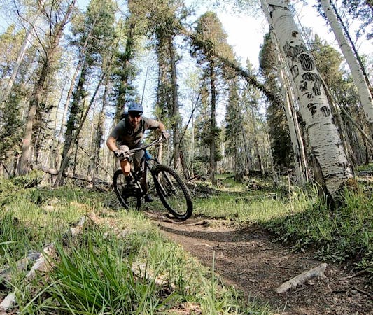
The South Boundary Trail is New Mexico's favorite epic shuttle ride.
Mountain Biking Severe
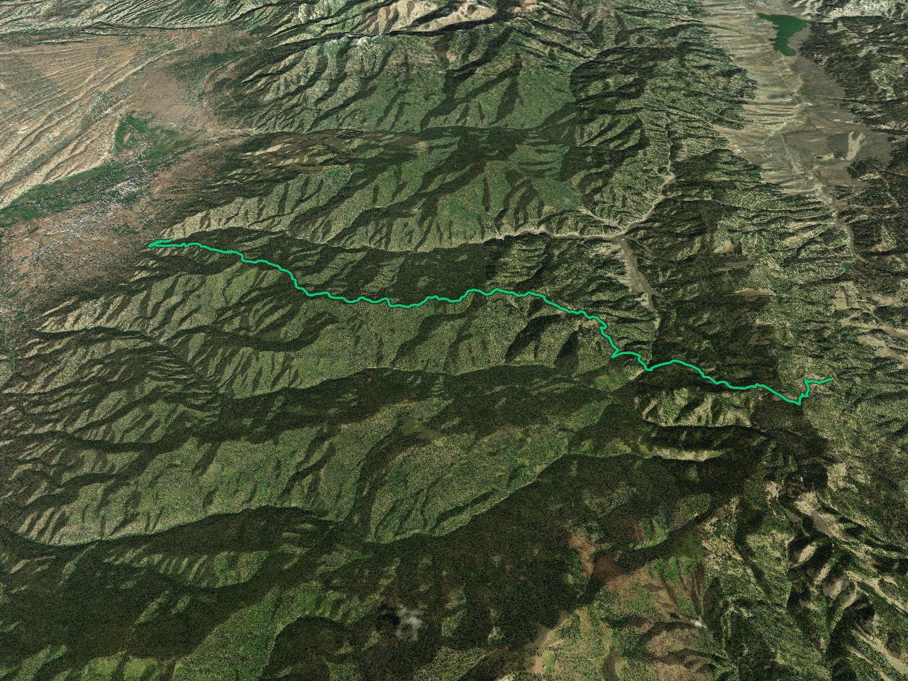
The South Boundary may be a shuttle run, but don't let that fool you into thinking this is an easy spin in the park. Along with around 4,500 vertical feet of descending, you'll still have to put in close to 2,000 feet of climbing along the way, but it's so very worth it!
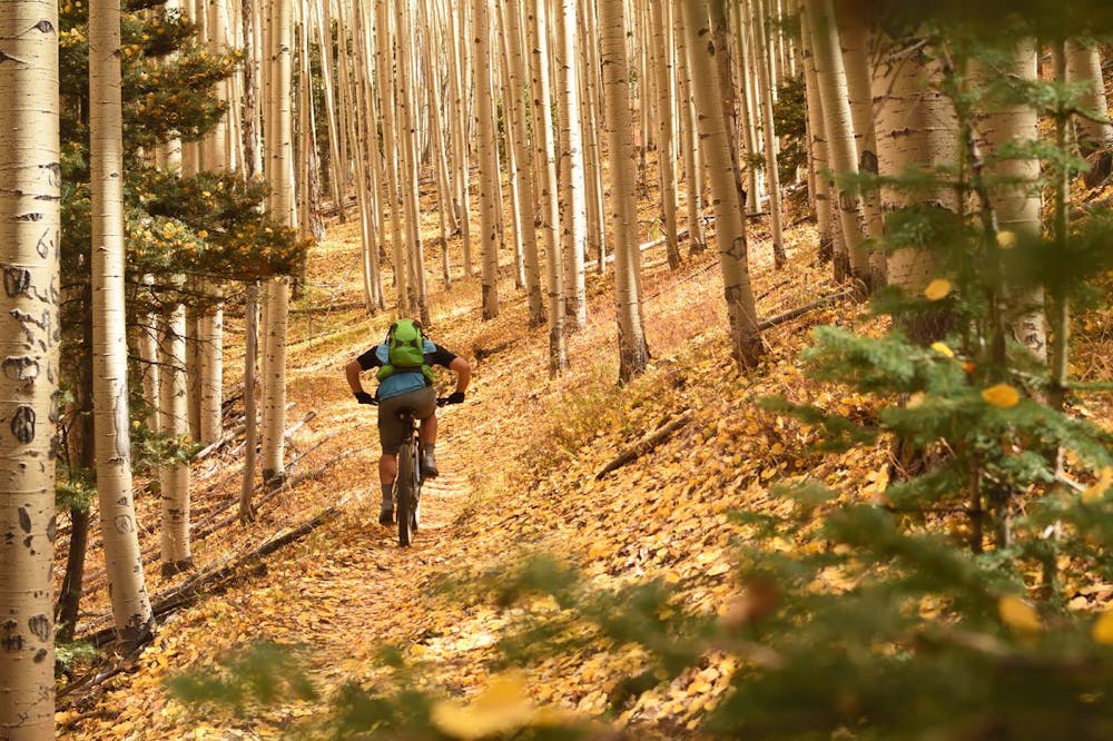
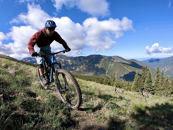
What makes the South Boundary Trail such a classic is that it throws a little bit of everything at you. That climbing includes a rather stiff 800ft climb to start, all the more challenging as you approach the 10,000-foot mark in elevation. Even after reaching this altitude and leveling out for a bit, future climbing will take you close to 11,000 feet.
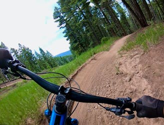
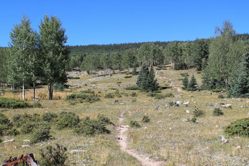
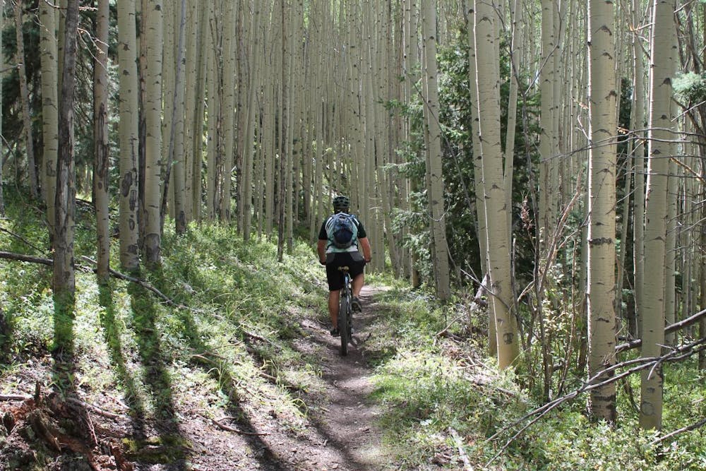
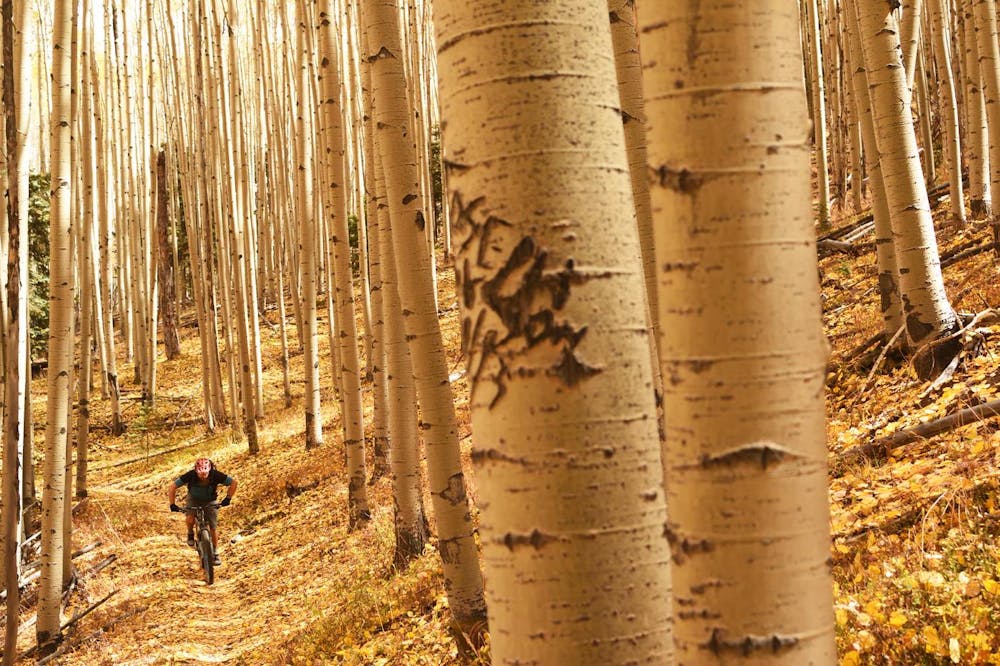
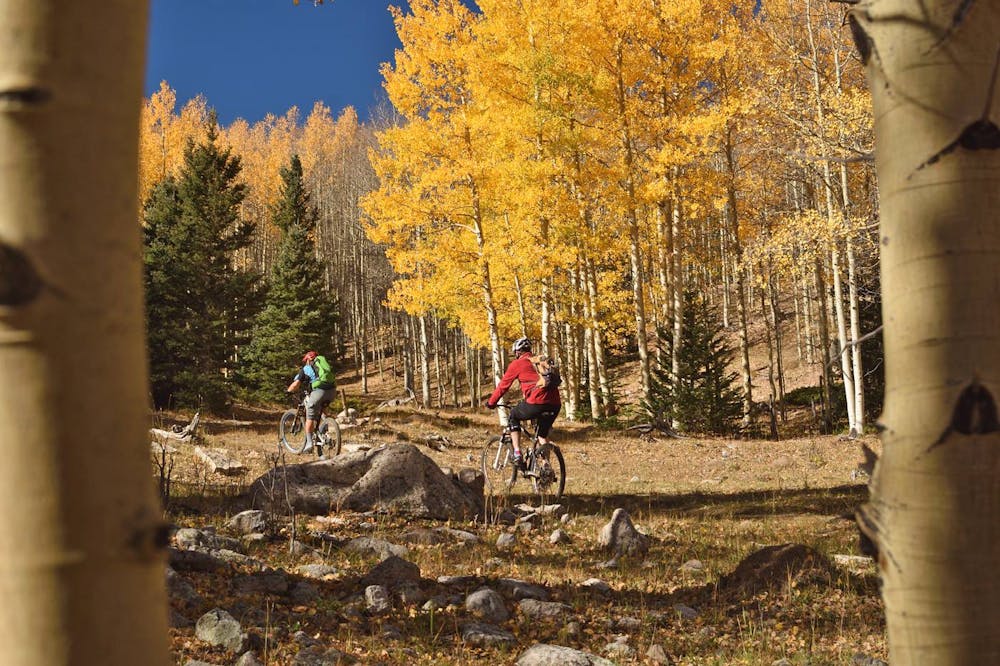
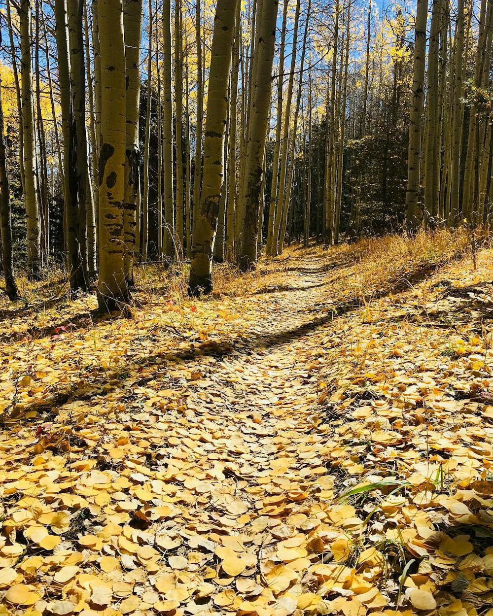
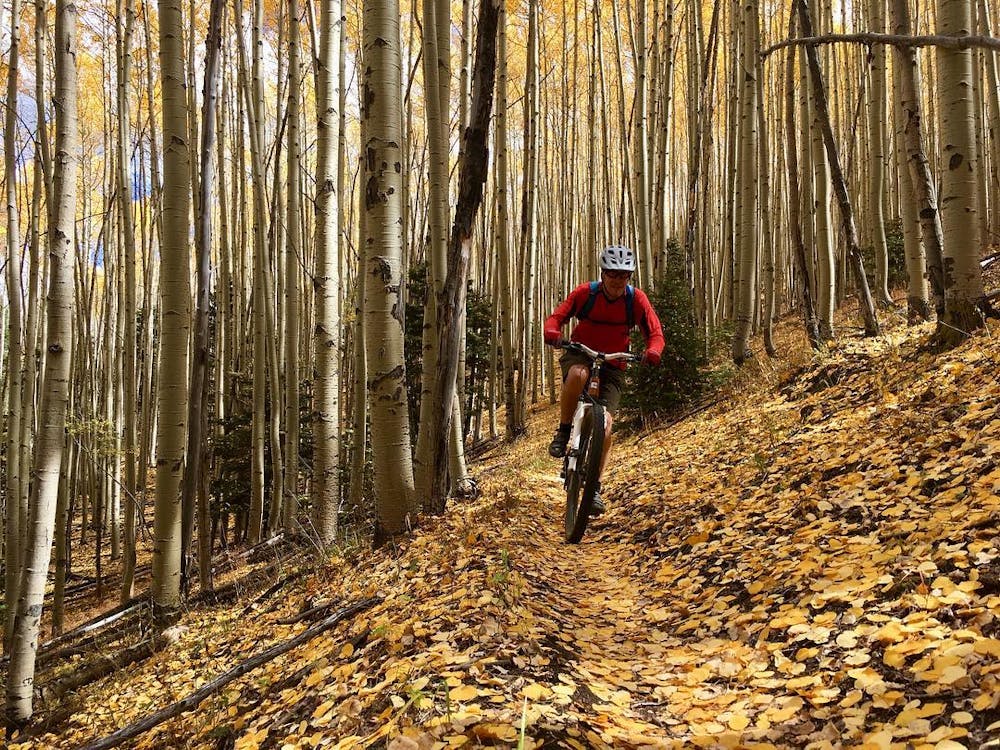
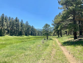
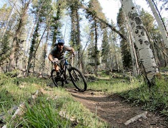
Having achieved that hard-earned altitude, there is massive mileage of beautiful bench cut and ridge riding through a mixture of gorgeous pine and stunning aspen forest. There are stretches where you can crank up the speed and do some rapid bobbing and weaving as the aspens blur by.
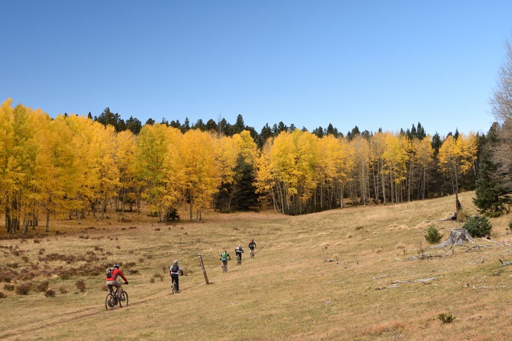
Along the way, there are plenty of opportunities to get off track, with a myriad of intersecting singletrack, doubletrack, ATV trails, and additional singletrack, so route finding becomes a premium skill as well. Be sure to check your position at every intersection and ensure you are taking the correct fork!
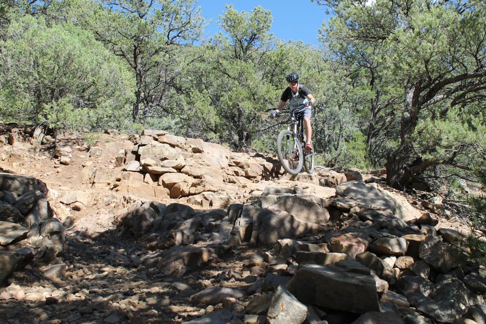
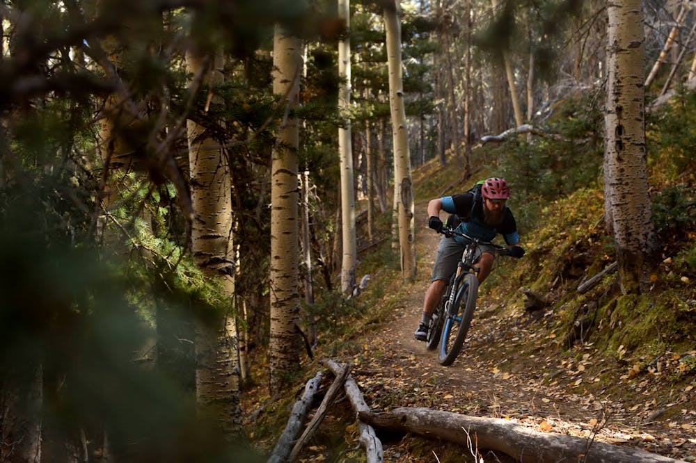
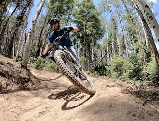
After all that hard work and classic cruising through the forest, the final payoff comes in the form of over 2,000 vertical feet of continuously steep and occasionally tricky singletrack descending positively plummeting from the ridge to the valley floor. There are tight switchbacks, rock gardens, and loose, powdery tread to contend with as you navigate the fun and varied drop to the finish.
This trail is best appreciated by a good all-around rider. The climbing and distance require some aerobic conditioning and stamina, while the steep and sometimes sketchy descent requires a confident and skilled rider. If you possess both these qualities, you will have an absolute blast on this trail.
Through the years, shuttle companies in Taos have come and gone. Be sure to do a search and find out if one is operating if you don't have the means to self-shuttle.
-Written by John Fisch
Severe
Widely variable, narrow trail tread with steeper grades and unavoidable obstacles of 15in/38cm tall or less. Obstacles may include unavoidable bridges 24in/61cm wide or less, large rocks, gravel, difficult root sections, and more. Ideal for advanced-level riders.

Some trail sections are extremely exposed where falling will almost certainly result in serious injury or death.

Little chance of being seen or helped in case of an accident.
9.9 km away
A loop incorporating the only climbing trail at Angel Fire Resort.
Difficult Mountain Biking
9.9 km away
A convenient beginner loop that's rideable directly from downtown Angel Fire.
Easy Mountain Biking
9.9 km away
An epic loop ride from downtown Angel Fire.
Difficult Mountain Biking
10 km away
A quick pedal from Angel Fire leads to a beautiful aspen grove.
Moderate Mountain Biking

24 routes · Mountain Biking
9 routes · Mountain Biking
5 routes · Mountain Biking