24 m away
Taos Vortex
If you're looking for a beat down without even leaving the foothills of Taos, look no further than the so-called Taos Vortex route.
Difficult Trail Running
- Distance
- 24 km
- Ascent
- 678 m
- Descent
- 678 m
A scenic, accessible peak climb close to Taos
Trail Running Difficult

Devisadero Peak rises directly above the town of Taos, providing a popular yet approachable run up a nearby peak. While the route doesn't look too long on a map and the mountain doesn't look too tall as you look up from the road, this lollipop loop can prove to be surprisingly difficult. Don't underestimate it, and be sure to pack plenty of water and other supplies. But if you're up for a challenge, read on!
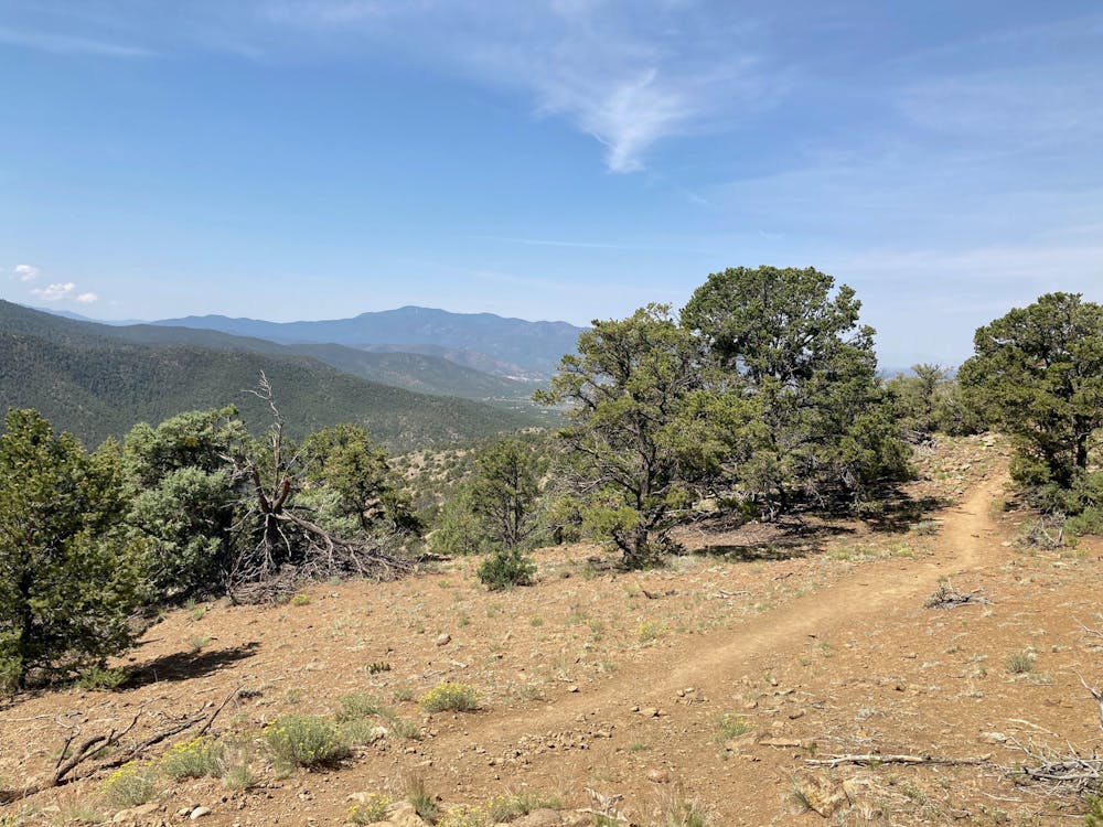
The loop to the top of the 8,304-foot peak is actually a lollipop with a short stem. After climbing the stem portion, the most popular running direction heads to the right first, in a counter-clockwise direction around the loop.
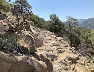
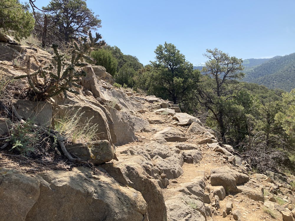
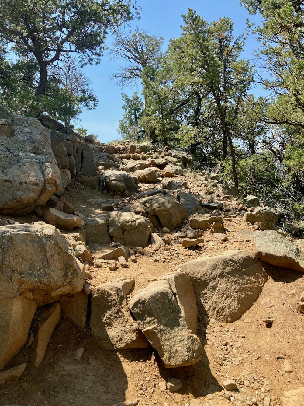
The initial climb can be demanding. While the trail is easy to follow and doesn't require any scrambling, even the smoothest sections of trail traverse over loose sand and small, rolling stones, providing challenging footing. Some sections of the trail ascend chunky rocks and ledges, and others traverse along relatively thin sections of bench cut trail.
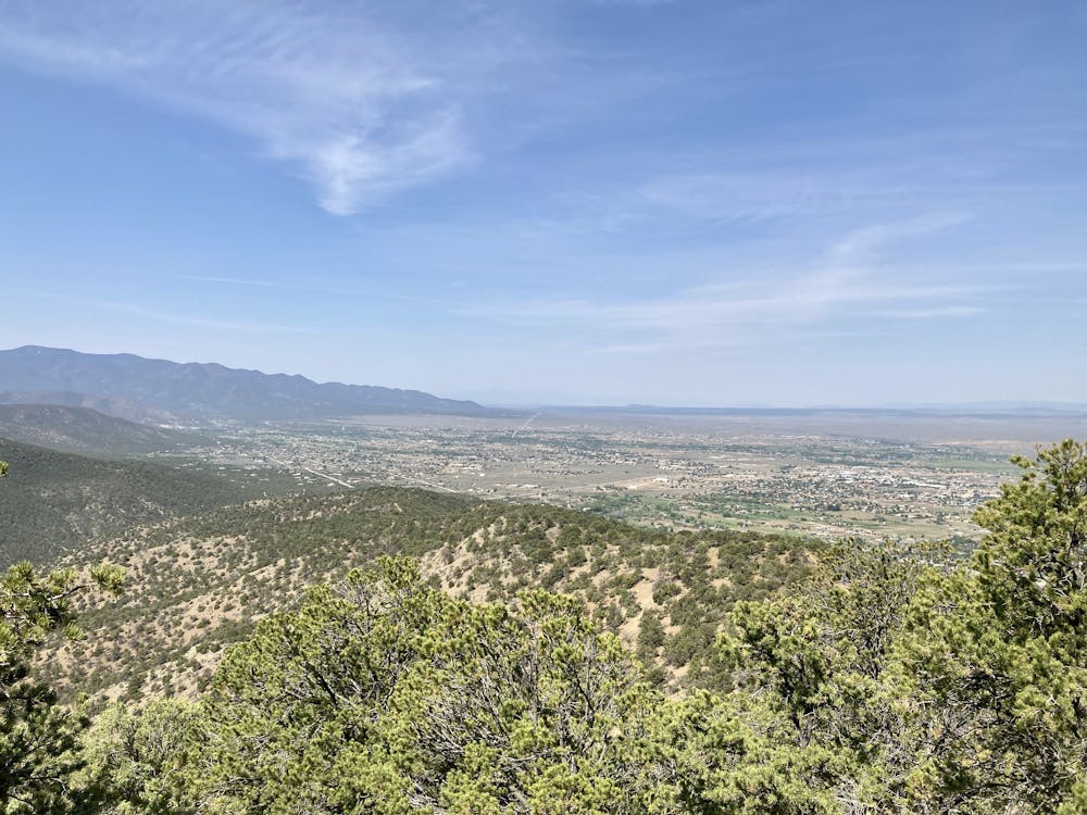
While far from easy, the work you put in will richly reward you with views the higher you climb! Unfortunately, when you finally reach the summit of Devisadero Peak, there's not much of a view to be had. However, as you descend the opposite side of the loop, you'll reach still more vistas pointing in a different direction, which thankfully make up for the lack of a summit view.
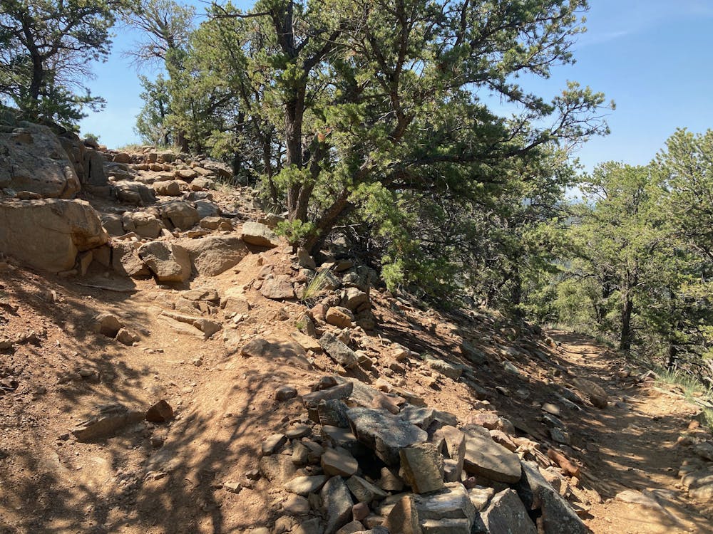
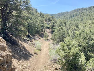
The "downhill" section actually undulates with small climbs and descents. This can make it easy to miss the right turn to go back down the stem to the trailhead if you're not paying attention. Don't miss the turn—you don't want to climb the mountain again!
Difficult

The trail contains some obstacles such as outcroppings and rock which could cause injury.

Close to help in case of emergency.
24 m away
If you're looking for a beat down without even leaving the foothills of Taos, look no further than the so-called Taos Vortex route.
Difficult Trail Running
33 m away
Run to the top of South Boundary's final rowdy descent.
Difficult Trail Running
7 routes · Hiking · Trail Running