9 m away
Taos Vortex
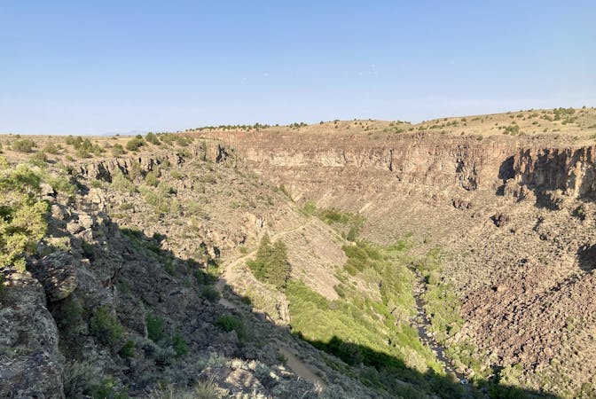
If you're looking for a beat down without even leaving the foothills of Taos, look no further than the so-called Taos Vortex route.
Difficult Trail Running
- Distance
- 24 km
- Ascent
- 678 m
- Descent
- 678 m
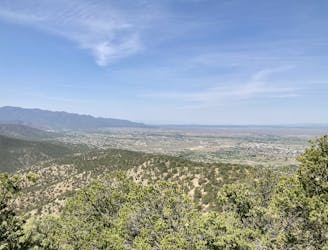
Run to the top of South Boundary's final rowdy descent.
Trail Running Difficult

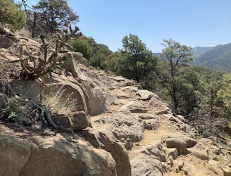
Ojitos is a steep, lung-buster of a climb up an old road grade that has narrowed down into doubletrack, and even singletrack in some places (even though the bench is wide). The climb is brutal, arduous, lengthy, and relentless... but your reward is reaching the fantastic final section of the South Boundary Trail!
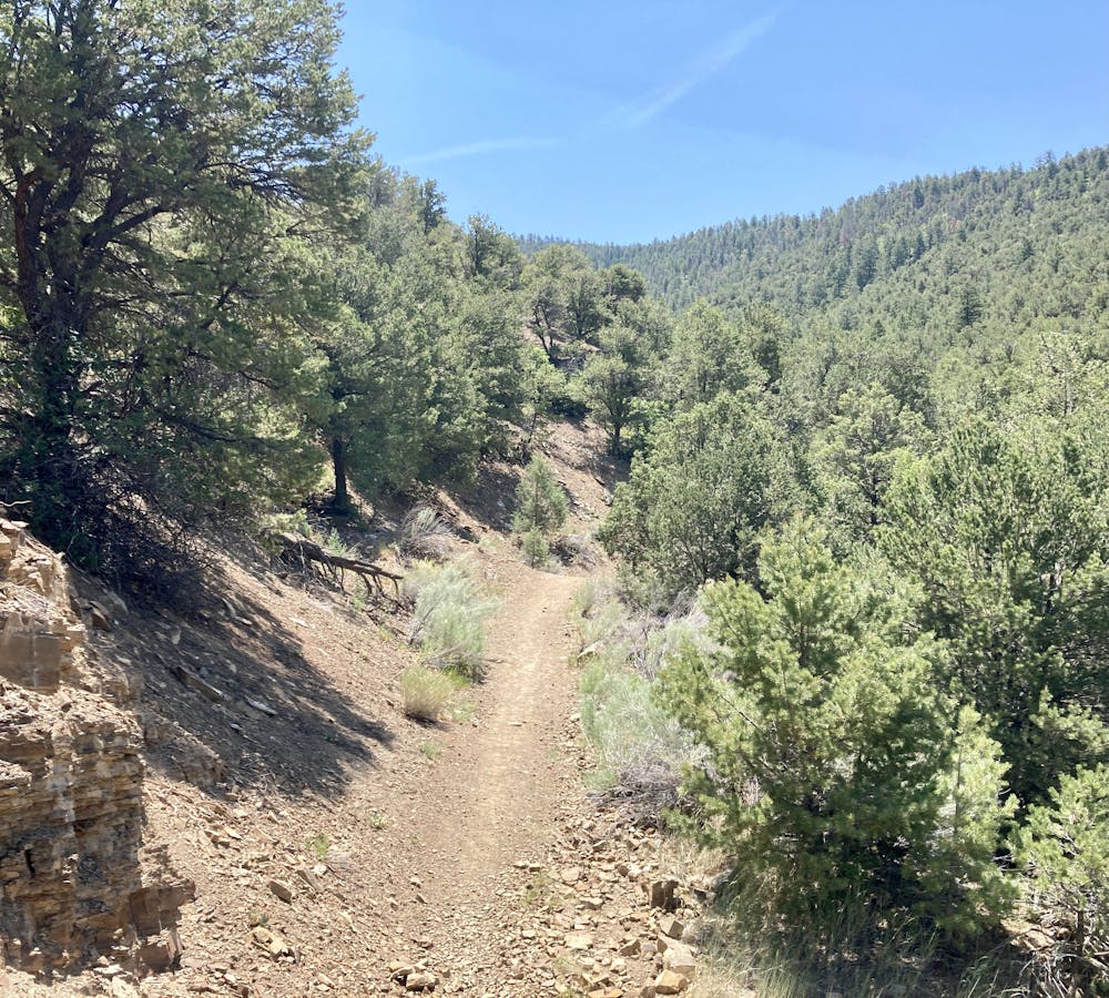
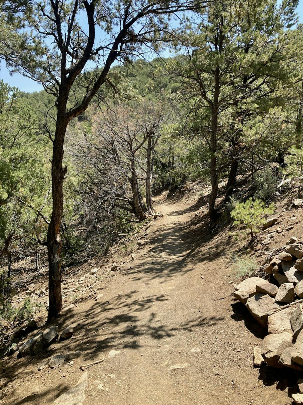
South Boundary is renowned as one of the best trails in the state of New Mexico. This final downhill section on South Boundary is located at a lower elevation than most of the trail, making it more accessible for a longer period of the year.
The final South Boundary downhill drops over 2,500 vertical feet down a rocky, dry singletrack trail to the valley floor below. Yes, that means you'll have climbed over 2,500 feet to get to this point! But once you point you point your shoes downhill, it's all high-speed running
This trail is rocky and technical, easily earning its black diamond status. Embedded rock gardens, waterbars, and rock ledges all require expert footwork. While you can slow down to negotiate these obstacles more carefully, expert runners will be able to fly down the mountain!
Difficult

The trail contains some obstacles such as outcroppings and rock which could cause injury.
Away from help but easily accessed.
9 m away
If you're looking for a beat down without even leaving the foothills of Taos, look no further than the so-called Taos Vortex route.
Difficult Trail Running
33 m away
A scenic, accessible peak climb close to Taos
Difficult Trail Running
7 routes · Hiking · Trail Running