4.3 km away
Gavilan Trail

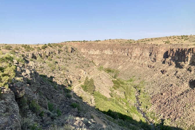
Steep climb to beautiful views of the Sangres.
Difficult Trail Running
- Distance
- 7.7 km
- Ascent
- 690 m
- Descent
- 690 m
The most popular trail in Taos Ski Valley—but for good reason!
Trail Running Moderate

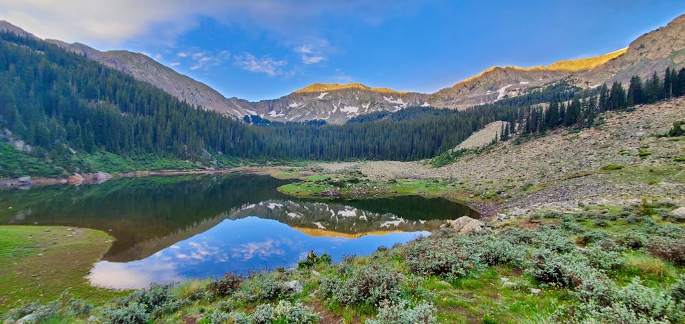
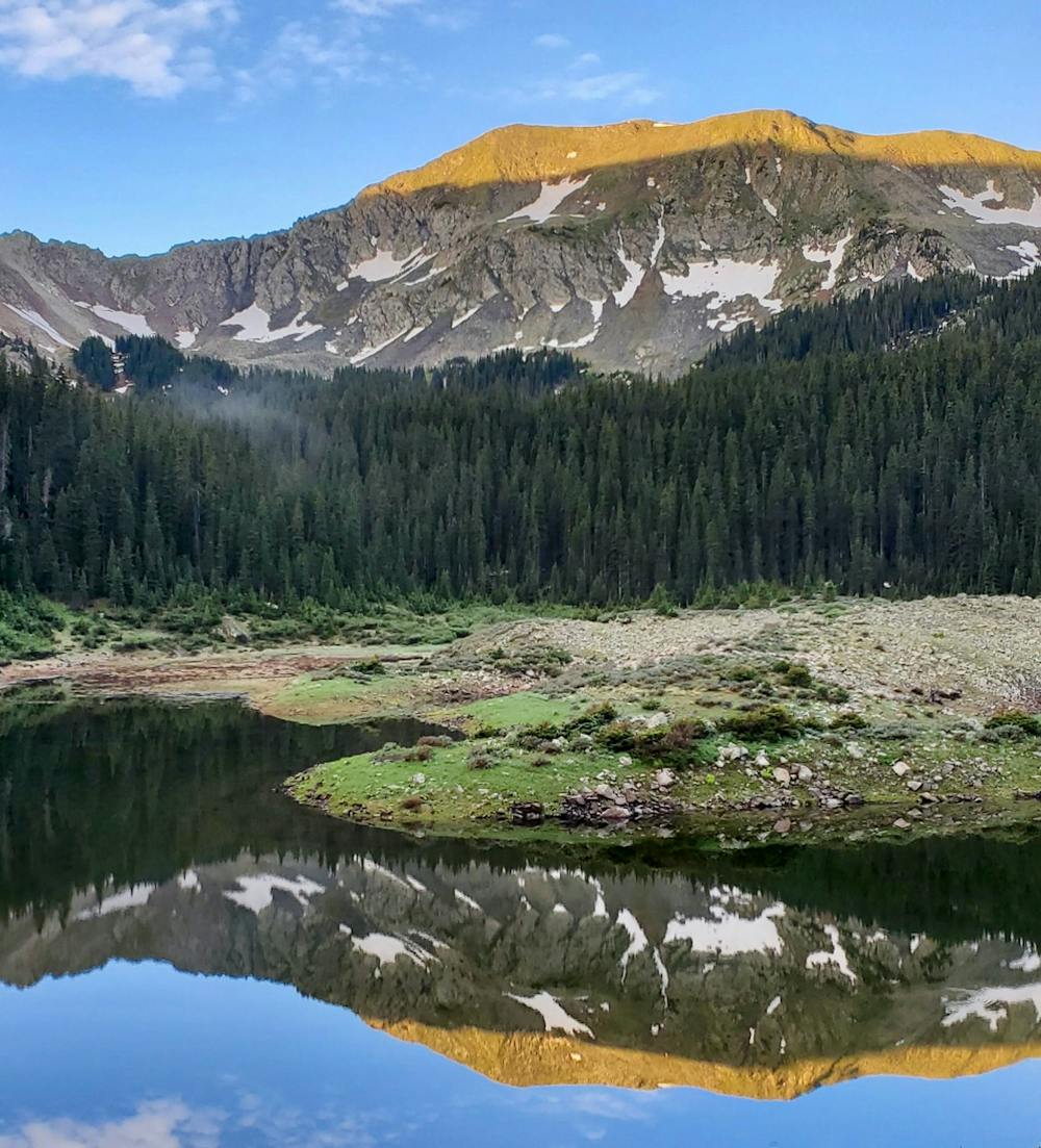
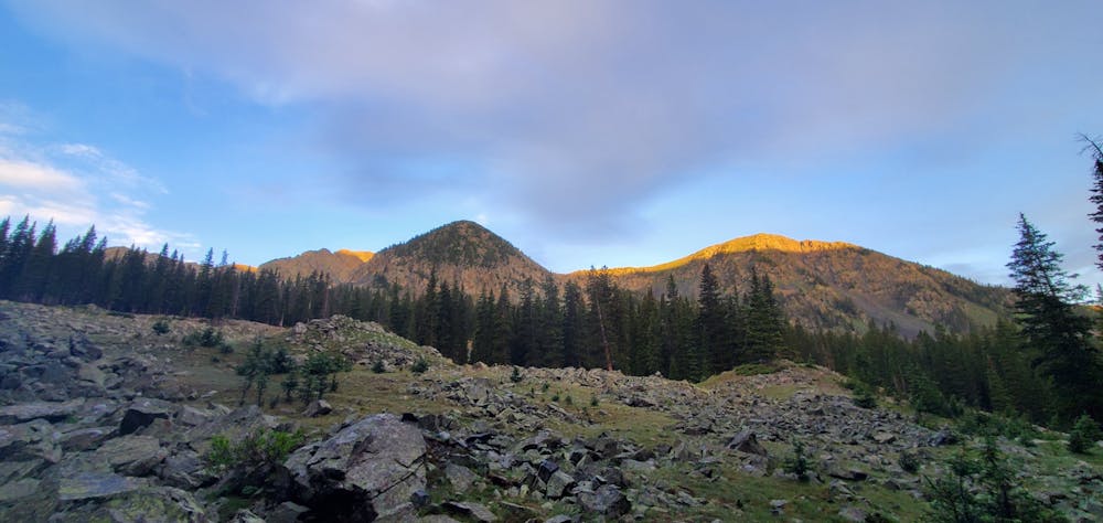
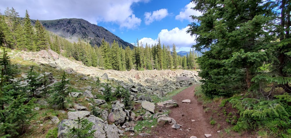
"The Williams Lake Trail is arguably the most popular trail in the Taos Ski Valley," writes TaosTrails.com. This trail runs for 1.9 miles from the well-developed parking area up to a gorgeous alpine lake located right at the base of Wheeler Peak, the tallest peak in all of New Mexico. Many prospective peak climbers use the Williams Lake trail as merely the beginning of their attempt to summit Wheeler, but this 3.8-mile round-trip route can also make for a delightful, easy run with a rewarding conclusion at the beautiful lake.
Even though it's just two miles one-way, you'll still have to climb over a thousand vertical feet to reach the lake, meaning you'll need at least moderate fitness to complete this run.
The trail to the lake "begins in Engelmann spruce stands and near the upper end opens up into meadowland and scattered rock fields," according to the USFS. The lake is located in the Wilderness, and some people choose to camp near the lake, but the USFS notes that camping directly on the shores of the lake is not allowed. The USFS asks that you select a campsite at least 300 feet from the lake, rivers, streams, and springs, and that you follow leave no trace practices.
Moderate

The path is on completely flat land and potential injury is limited to falling over.

Away from help but easily accessed.
4.3 km away
Steep climb to beautiful views of the Sangres.
Difficult Trail Running
7 routes · Hiking · Trail Running