9.3 km away
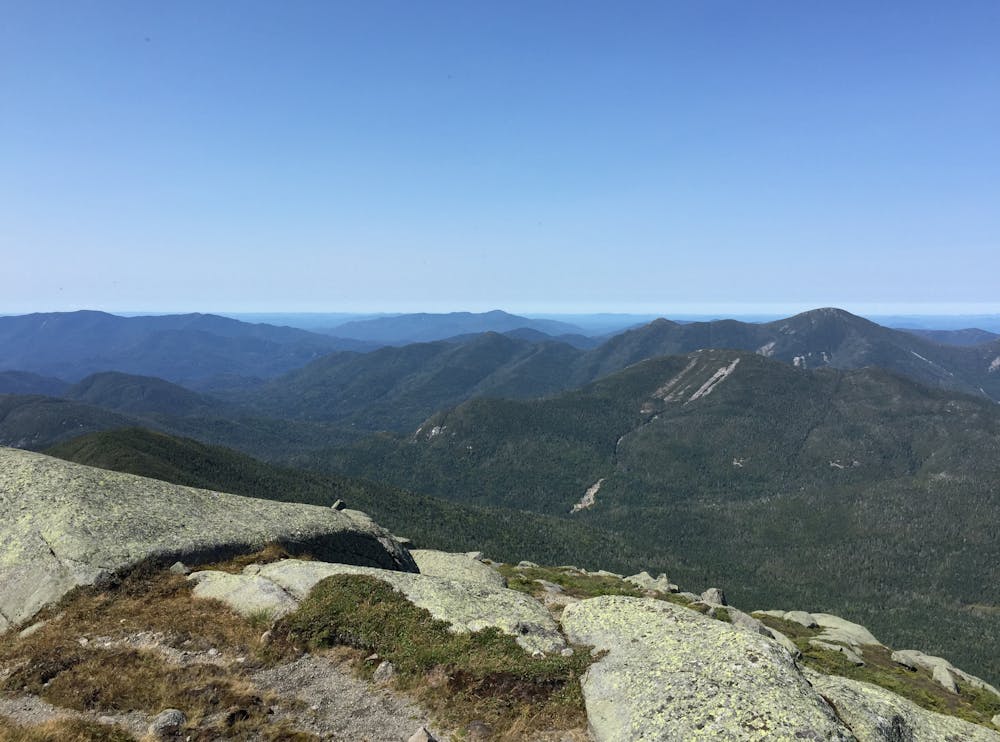
Mount Algonquin & Iroquois Peak | C'est Notre Monde
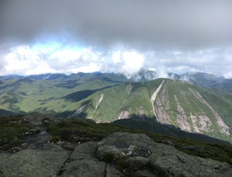
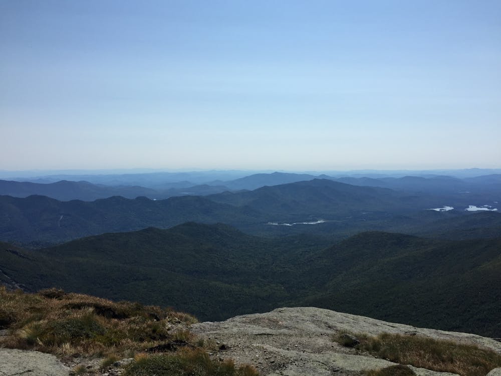
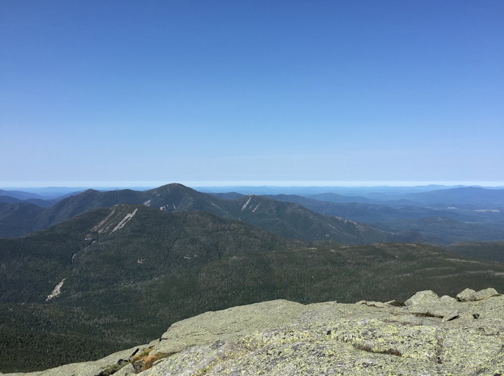
A Magnificent View of the Adirondacks
Severe Hiking
- Distance
- 19 km
- Ascent
- 1.2 km
- Descent
- 1.2 km
A spur connecting the Adirondack Great Range to Mount Marcy.
Hiking Difficult

The Adirondack Great Range is arguably the most epic traverse in the Adirondacks, if not the entire state of New York. Many hikers opt to include Mount Marcy in their hike, despite technically lying on an adjacent ridge.
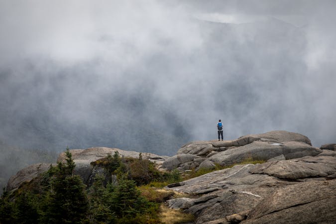
After summiting Mount Haystack and Little Haystack, take the connector near Little Haystack down to Phelps Trail. The final portion of the route follows the Van Hoevenberg Trail, situated well above the treeline and in the alpine zone. Be especially careful in this delicate ecosystem and stay as close to the trail as possible. Cairns and yellow blazes are there to keep you on track.
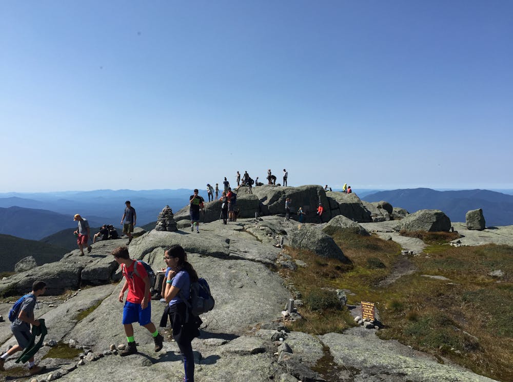
Named after a 19th-century New York Governor, Mount Marcy is the state's highest peak hovering just above 5,300 feet. This grandstand offers more astonishing views of the Adirondacks as its summit lies well above the treeline. Enjoy the views and take a picture of the placard denoting your accomplishment.
If hiking the entire Great Range, either retrace your steps or follow Phelps Trail back to Johns Brook Lodge. Phelps Trail is chosen by many hikers to form a loop with the Great Range, but requires you to stage a car at both the ADK Gardens Trailhead and the Rooster Comb Trailhead to avoid hiking along a road.
Difficult
Hiking trails where obstacles such as rocks or roots are prevalent. Some obstacles can require care to step over or around. At times, the trail can be worn and eroded. The grade of the trail is generally quite steep, and can often lead to strenuous hiking.

Some trail sections have exposed ledges or steep ascents/descents where falling could cause serious injury.
Little chance of being seen or helped in case of an accident.
9.3 km away
A Magnificent View of the Adirondacks
Severe Hiking
9 routes · Hiking