7.2 km away
Cascade and Porter Mountains | C'est Notre Monde
A unique panorama of the High Peaks
Moderate Hiking
- Distance
- 8.8 km
- Ascent
- 704 m
- Descent
- 704 m
A Magnificent View of the Adirondacks
Hiking Severe

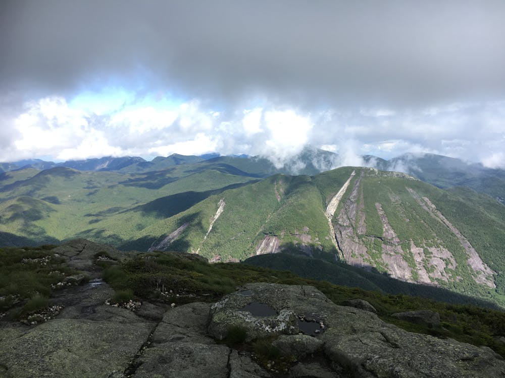
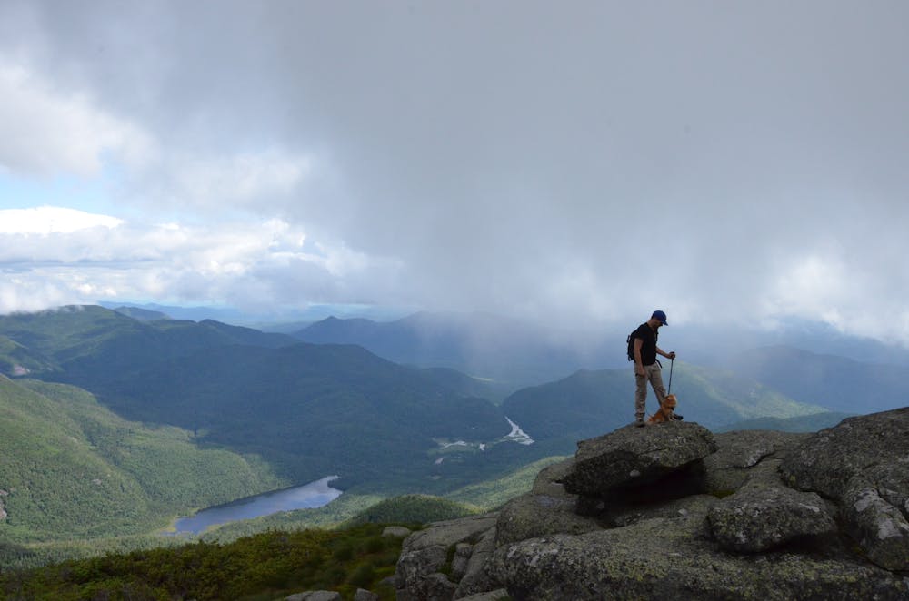
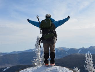
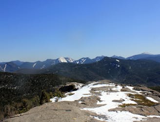
At an altitude of 1559 meters (5114 ft), Algonquin peak is the second highest mountain of the Adirondacks. Located in the heart of the High Peak region, this imposing mountain offers hikers an undeniable physical challenge with its steep and rocky trail. The summit offers a 360 degree view of the Adirondacks and nearby valleys. It is a hike not to be missed. C’est Notre Monde will show you the way.
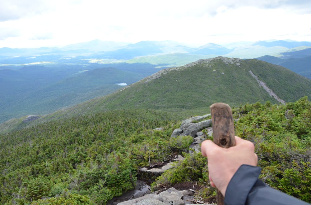
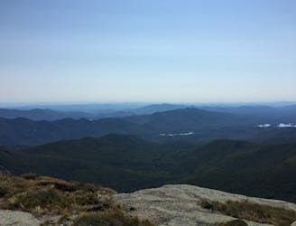
The less well known, but no less stunning, Iroquois Peak is the eighth highest summit of the Adirondacks. At 1476 meters (4842 ft) above sea level, it is an extension of the Algonquin Peak ridge. It offers great views of the Adirondack wilderness, the high peaks and the Keene Valley. Its ascent also allows you to climb both the Wright Peak and Algonquin Peak in one hike. So what are you waiting for? Follow C’est Notre Monde to the top of Iroquois Peak!
https://www.cnotremonde.com/new-york/algonquin-peak/ https://www.cnotremonde.com/new-york/iroquois-peak/
Les Monts Algonquin est le deuxième plus haut sommet des adirondacks dans l'État de New York, USA. Il offre un magnifique panorama sur les sommets de la région. Son ascension assez demandante vous permet de découvrir la beauté des High Peaks et de la vallée de Keene. C’est une randonnée à ne pas louper.
Iroquois Peak et le 8e sommet des Adirondacks dans l'état de New York. Ce sommet est dans le prolongement du mont Algonquin
Severe
Hiking challenging trails where simple scrambling, with the occasional use of the hands, is a distinct possibility. The trails are often filled with all manner of obstacles both small and large, and the hills are very steep. Obstacles and challenges are often unexpected and can be unpredictable.

The trail contains some obstacles such as outcroppings and rock which could cause injury.
Away from help but easily accessed.
7.2 km away
A unique panorama of the High Peaks
Moderate Hiking
7.2 km away
An easier hike bagging 2 of the 46 High Peaks.
Moderate Hiking
9.3 km away
A spur connecting the Adirondack Great Range to Mount Marcy.
Difficult Hiking
9 routes · Hiking