4.5 km away
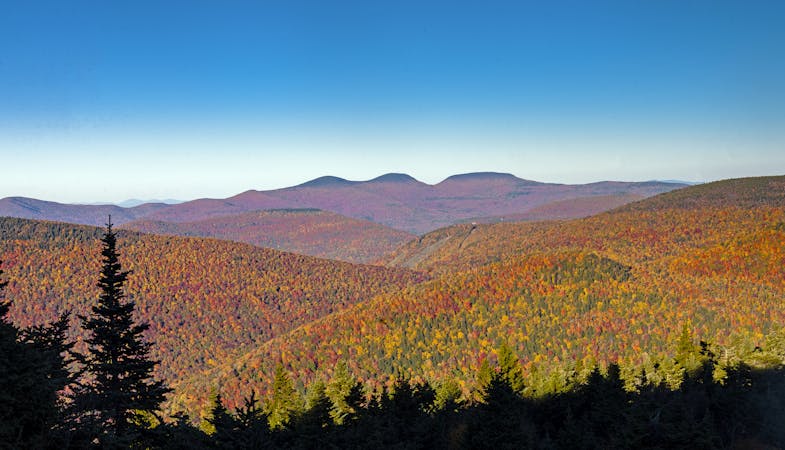
Sugarloaf Mountain Loop
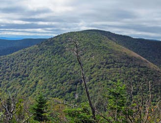
A challenging day hike connecting three trails and summiting Sugarloaf Mountain.
Severe Hiking
- Distance
- 10 km
- Ascent
- 627 m
- Descent
- 627 m
Out and back 6.5km trail
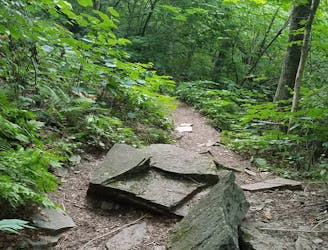
Hiking Easy

This is a popular hiking route which is generally considered to be easy. It's an unknown remoteness, it features unknown exposure and is typically done in an unknown time of year. From a low point of 541 m to the maximum altitude of 580 m, the route covers 6.4 km, 56 vertical metres of ascent and 56 vertical metres of descent.
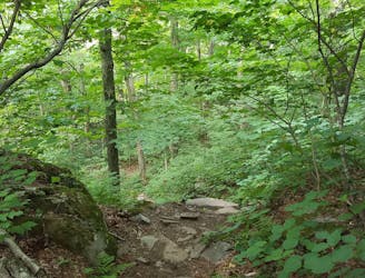
Huckleberry Rail Trail to Rip Van Winkle Lake, out and back.
Easy
Walking along a well-kept trail that’s mostly flat. No obstacles are present.
4.5 km away
A challenging day hike connecting three trails and summiting Sugarloaf Mountain.
Severe Hiking
7.3 km away
A rugged thru-hike bagging five of the Catskill High Peaks.
Severe Hiking
7.3 km away
A relentless day hike to the summit of Indian Head Mountain.
Severe Hiking
8.5 km away
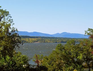
A popular route to summit the Kaaterskill High Peak.
Difficult Hiking
8.5 km away

A shorter day hike to an excellent vista atop Huckleberry Point.
Moderate Hiking
7 routes · Hiking