870 m away
Gertrude's Nose Loop
An epic loop across exposed rocky bluffs, beginning and ending at Lake Minnewaska.
Difficult Hiking
- Distance
- 11 km
- Ascent
- 372 m
- Descent
- 372 m
A beautifully diverse hike with endless views and a waterfall.
Hiking Difficult

This unequivocally diverse day hike links a beautiful stream to exposed, rocky bluffs and ultimately, a waterfall.
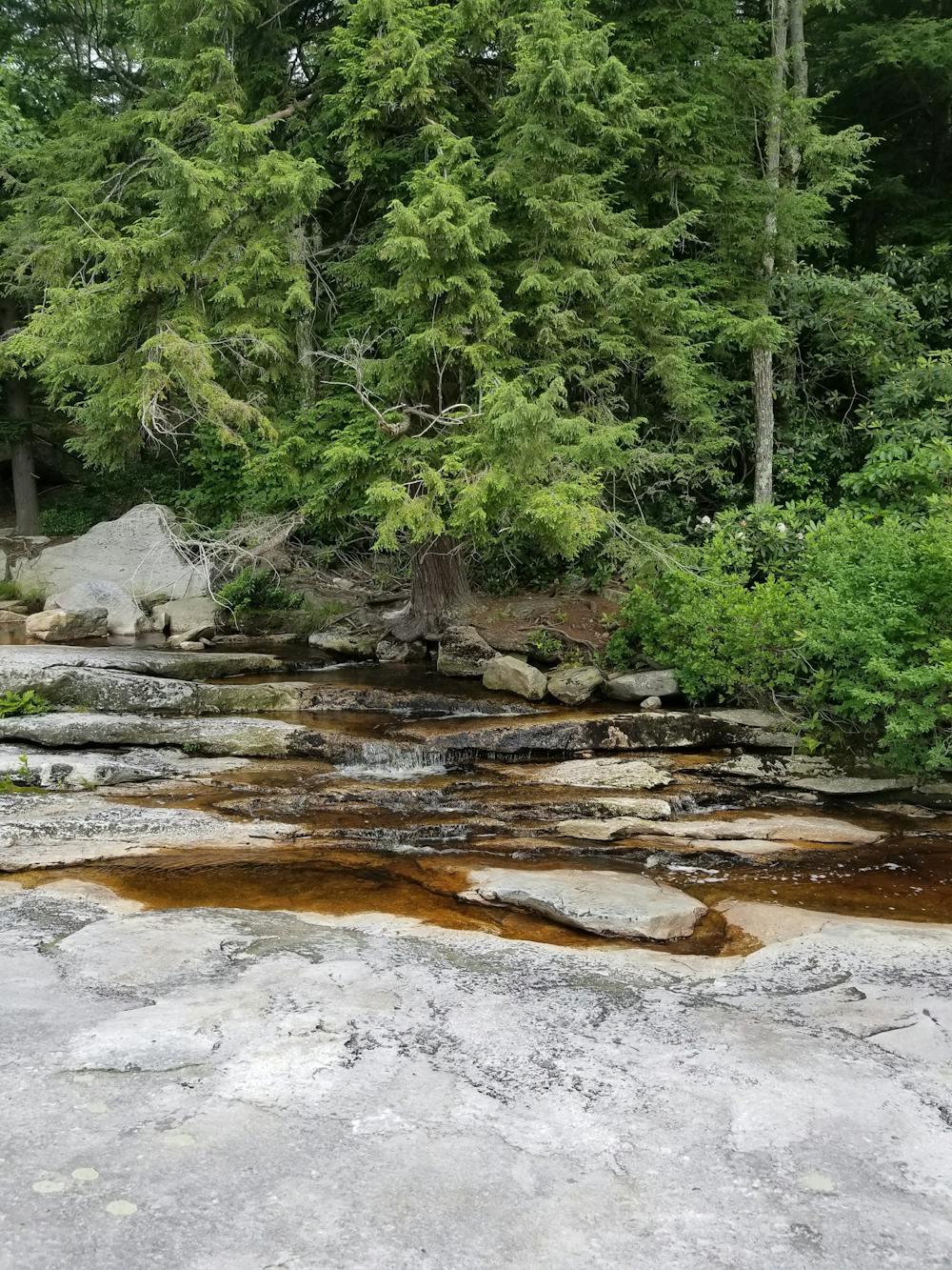
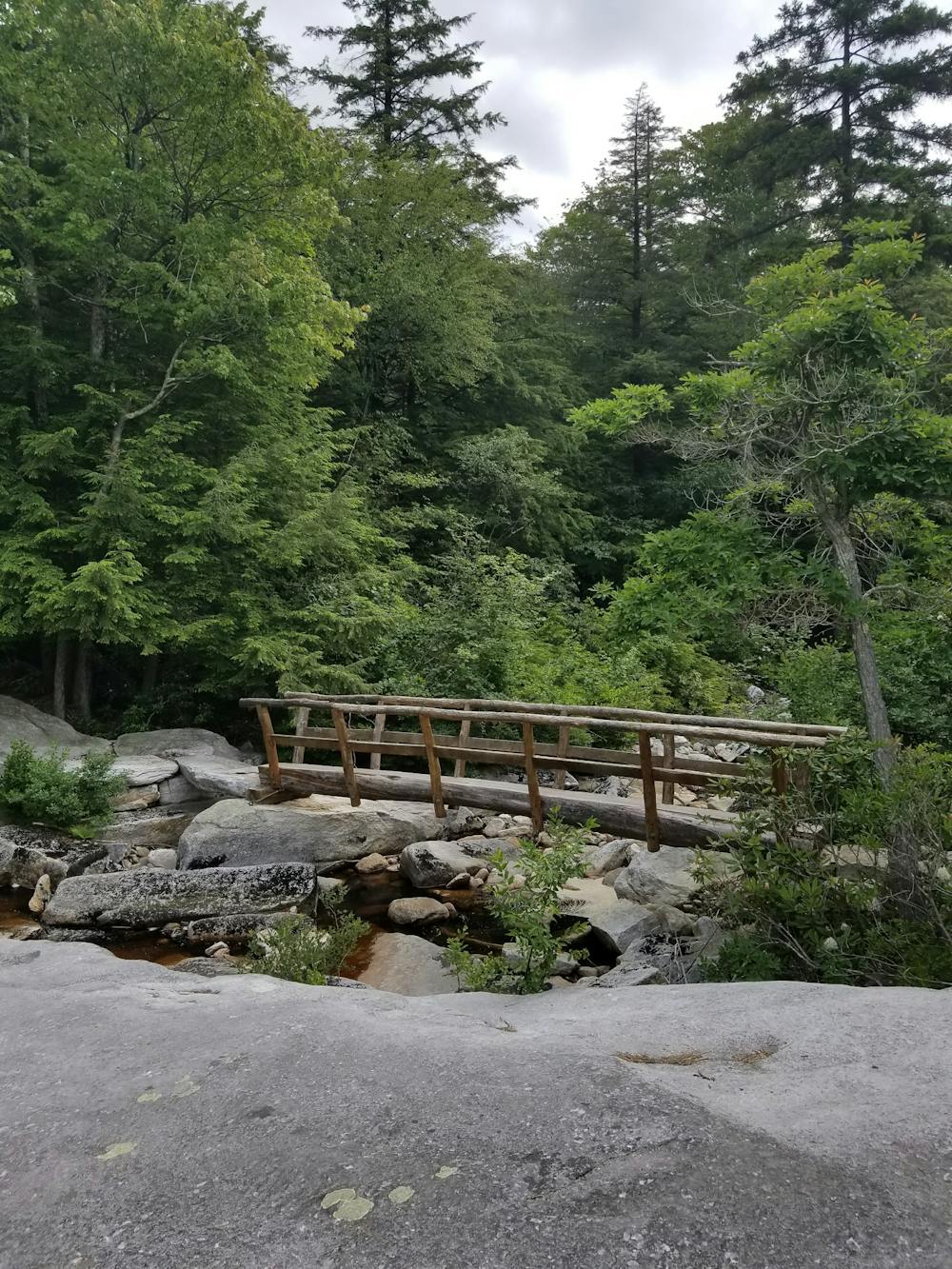
Begin your hike at the Lower Awosting Lot of the 22,000-acre Minnewaska State Park. In the summer months, the parking area can quickly fill up as equestrian users also utilize this trailhead. Follow the Mossy Glen Trail as it leads over a beautifully built bridge, paralleling Peters Kill to its south. The small stream is the source for the iconic and easily accessible Awosting Falls—another highlight in the park.
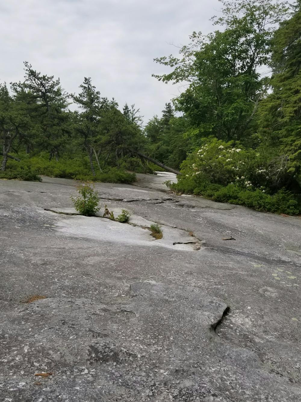
Leaving the creek, follow the Blueberry Run Trail as it alternates between dense oak forests and exposed rocky meadows. This area is loaded with picturesque flora and fauna and won't disappoint.
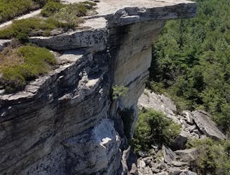
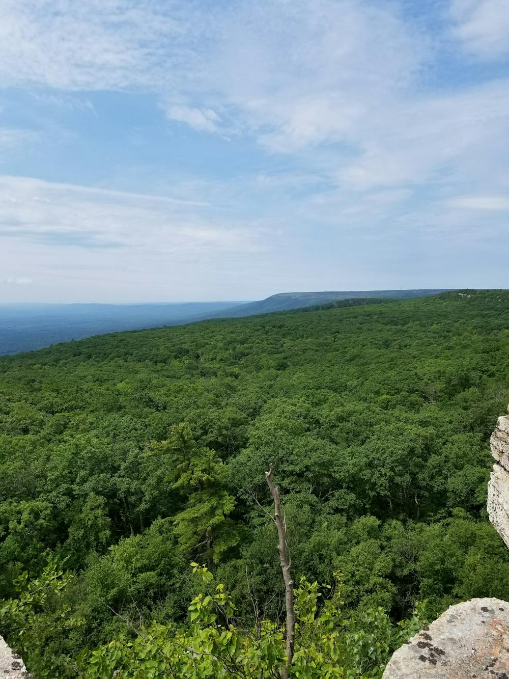
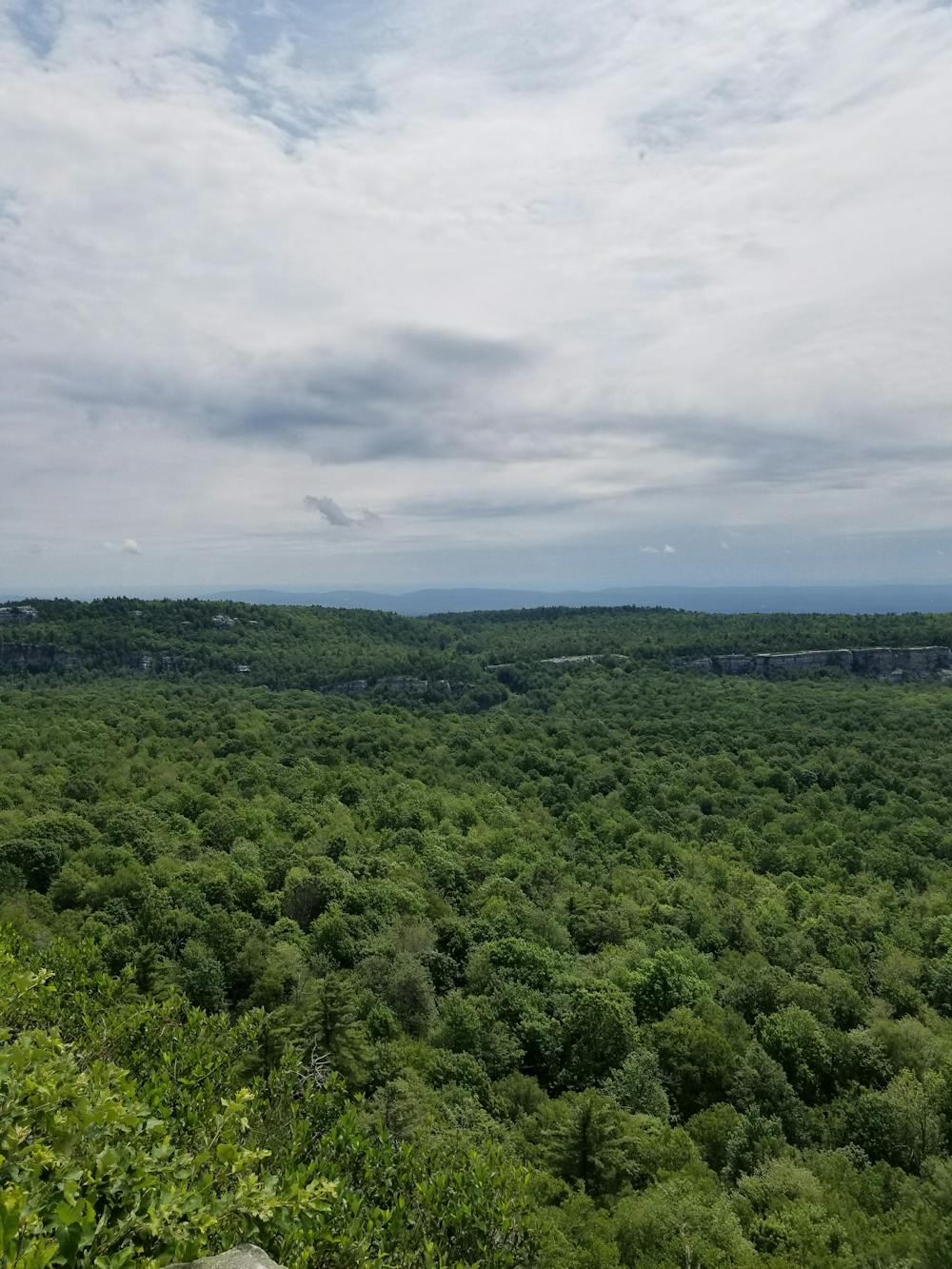
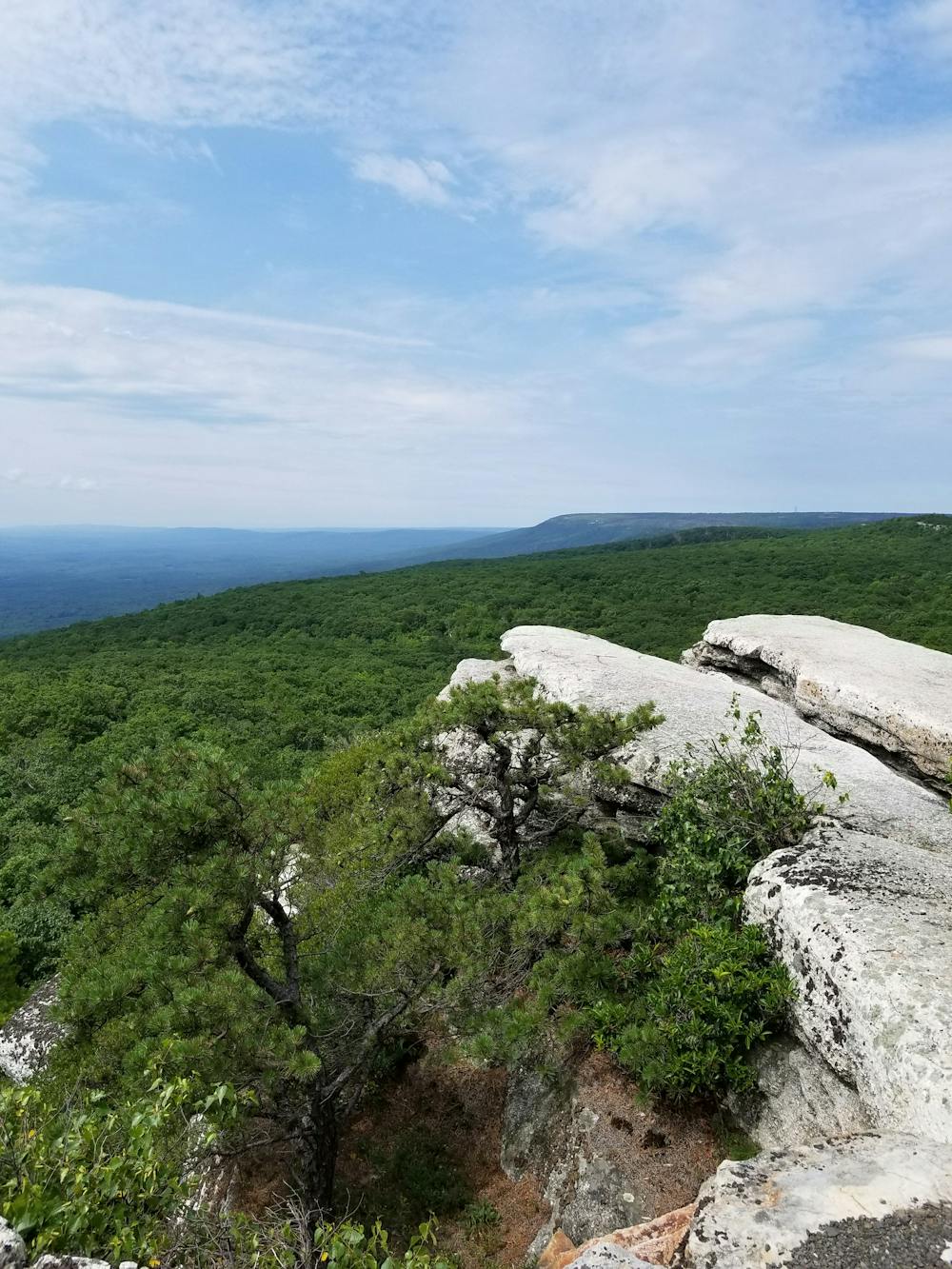
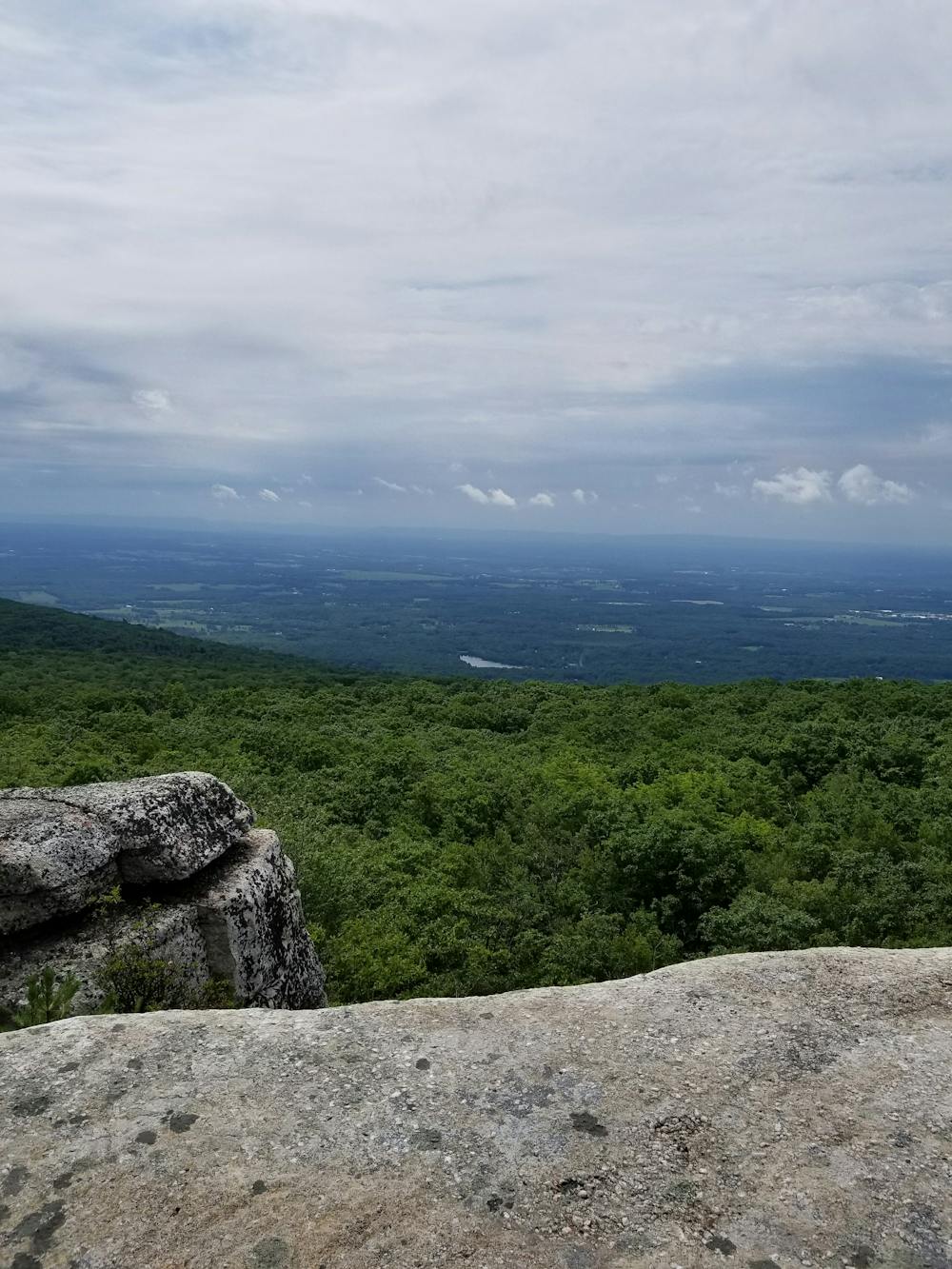
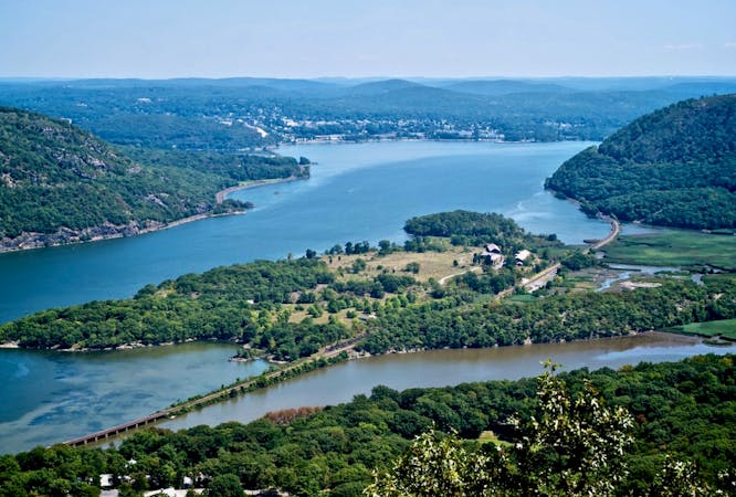
As you reach the old carriage road, follow it to the right and you will be welcomed with endless commanding views to the south and west. The exposed bluffs offer dramatic views of the Hudson Valley and provide an excellent backdrop for lunch.
Follow the carriage road to the intersection with Rainbow Falls Trail, and to its namesake waterfall. This beautiful waterfall is particularly popular in the spring, but know that in the warmest summer months it may be dry.
Begin your return trip by following the Jenny Lane Trail along the ridge just north of Peters Kill. Enjoy the beautiful flora and fauna as they continue to alternate with partial views. To finish the hike, connect the Jenny Lane Trailhead to the Lower Awosting Trailhead via the Wawarsing Trail. On a hot summer day, make your way to Lake Minnewaska and take a dip in its clear, cool water.
Sources: https://parks.ny.gov/parks/attachments/MinnewaskaMinnewaskaStateParkTrailMap.pdf https://scenesfromthetrail.com/2018/06/16/rainbow-falls-loop-minnewaska-state-park-preserve/
Difficult
Hiking trails where obstacles such as rocks or roots are prevalent. Some obstacles can require care to step over or around. At times, the trail can be worn and eroded. The grade of the trail is generally quite steep, and can often lead to strenuous hiking.

Some trail sections have exposed ledges or steep ascents/descents where falling could cause serious injury.

Away from help but easily accessed.
870 m away
An epic loop across exposed rocky bluffs, beginning and ending at Lake Minnewaska.
Difficult Hiking
8 routes · Hiking