3 m away
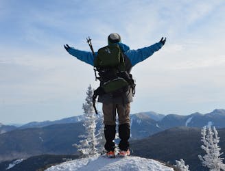
Adirondack Great Range
A highly sought after epic traverse of the Adirondack Great Range.
Severe Hiking
- Distance
- 33 km
- Ascent
- 3.5 km
- Descent
- 3.5 km
A day hike with views of the Great Range and Keene Valley.
Hiking Difficult

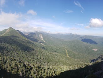
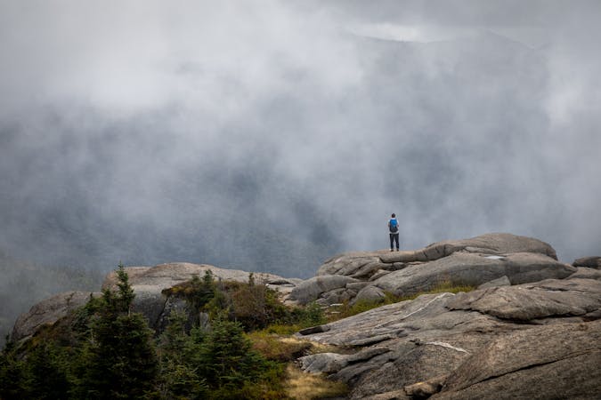
The Rooster Comb Trail is a popular day hiking destination in the Adirondacks and doubles as the gateway to the Great Range. Many hikers bound for Mount Marcy often pass up the sweeping views atop Rooster Comb, oblivious to the phenomenal views atop its summit.
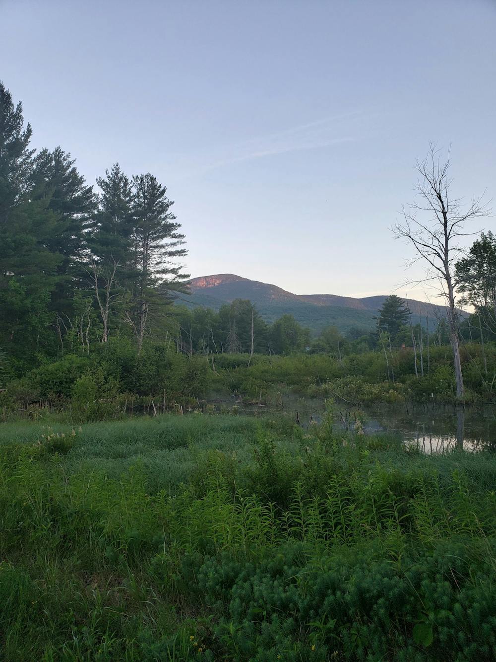
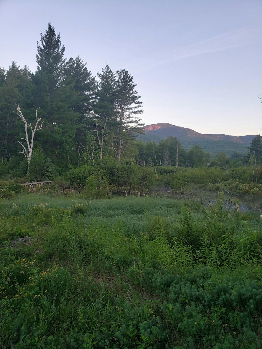
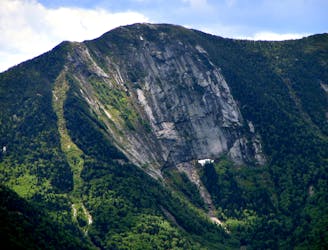
Leaving the parking lot, the trail follows a boardwalk over a bog as it transitions into a dark, almost ominous forest. Less than a mile into the hike, you'll reach a junction with the Flume Brook Trail. Though you could complete this hike either way, most prefer to climb Rooster Comb first. A nearly 1,500-foot climb to the summit, the trail presents endless rocks, gnarled roots, and other challenges.
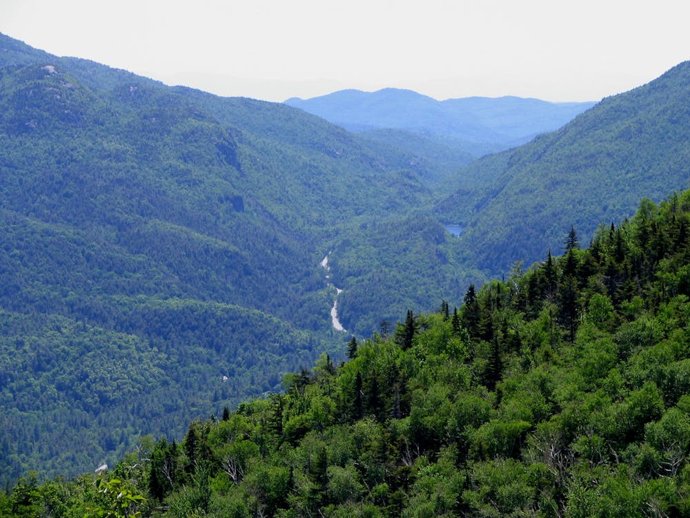
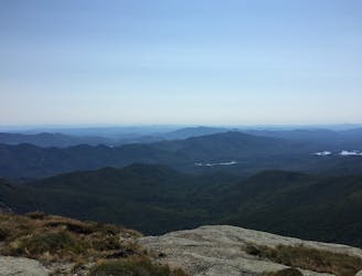
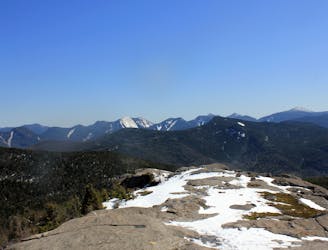
A right at the next four-way intersection leads to Rooster Comb, where you'll be welcomed with sweeping westward views to the nearby High Peaks. Hikers attempting a Great Range traverse keep straight here en route to Hedgehog and Wolfjaw Mountains. Glimpses of both peaks are available from the Rooster Comb summit.
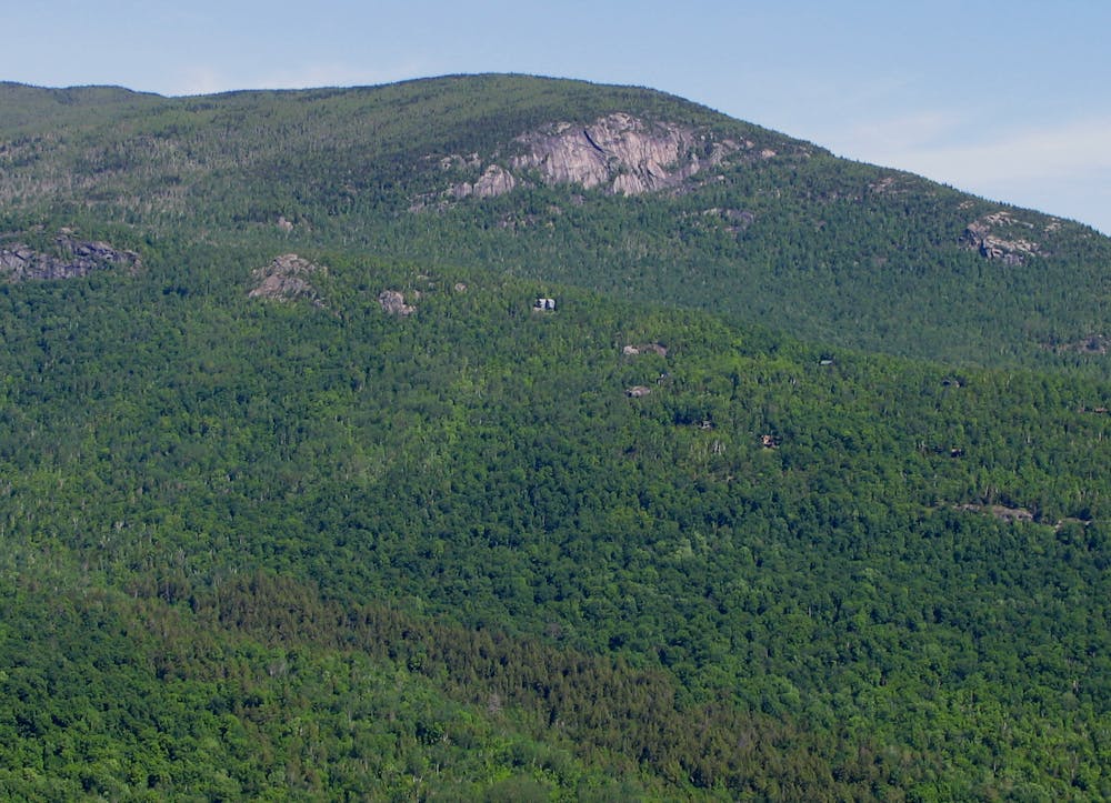
Retrace your steps to the intersection and instead keep straight on the Flume Brook Trail. Following a well-marked spur trail, Snow Mountain is an adjacent peak offering similar expansive views to the southeast into the valley below. A glimpse of the Ausable River can be seen in the distance. On a hot summer day, park at one of the many gravel pull-offs along the road and enjoy its cool, refreshing waters after a hike.
The return trip follows Flume Brook back to the Trailhead along NY-73. For some post-hike grub, a small diner lies just north along the road in Keene Valley.
Difficult
Hiking trails where obstacles such as rocks or roots are prevalent. Some obstacles can require care to step over or around. At times, the trail can be worn and eroded. The grade of the trail is generally quite steep, and can often lead to strenuous hiking.

The trail contains some obstacles such as outcroppings and rock which could cause injury.
Away from help but easily accessed.
3 m away
A highly sought after epic traverse of the Adirondack Great Range.
Severe Hiking
2.4 km away

A challenging hike showcasing some of the best views on the Great Range.
Severe Hiking
2.4 km away
A incredibly scenic loop with multiple summits and a return trip along Johns Brook .
Difficult Hiking
2.4 km away
A popular approach to Mount Marcy with overnight options at Johns Brook Lodge.
Difficult Hiking
8.9 km away
An easier hike bagging 2 of the 46 High Peaks.
Moderate Hiking
8.9 km away
A unique panorama of the High Peaks
Moderate Hiking
9 routes · Hiking