4.5 km away
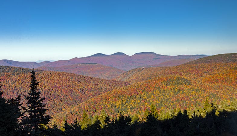
Sugarloaf Mountain Loop
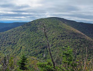
A challenging day hike connecting three trails and summiting Sugarloaf Mountain.
Severe Hiking
- Distance
- 10 km
- Ascent
- 627 m
- Descent
- 627 m
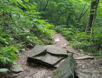
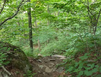
Some trails in Tannersville
Hiking Easy

This is a popular hiking route which is generally considered to be easy. It's an unknown remoteness, it features unknown exposure and is typically done in an unknown time of year. From a low point of 541 m to the maximum altitude of 587 m, the route covers 3.8 km, 68 vertical metres of ascent and 68 vertical metres of descent.
Some trails in Tannersville
Easy
Walking along a well-kept trail that’s mostly flat. No obstacles are present.
4.5 km away
A challenging day hike connecting three trails and summiting Sugarloaf Mountain.
Severe Hiking
7.3 km away
A rugged thru-hike bagging five of the Catskill High Peaks.
Severe Hiking
7.3 km away
A relentless day hike to the summit of Indian Head Mountain.
Severe Hiking
8.5 km away
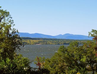
A popular route to summit the Kaaterskill High Peak.
Difficult Hiking
8.5 km away

A shorter day hike to an excellent vista atop Huckleberry Point.
Moderate Hiking
7 routes · Hiking