9 routes · Mountain Biking
A popular trail network on Long Island with something for everyone.
Mountain Biking Difficult

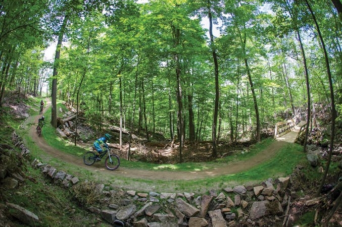
Located in Woodbury, Stillwell Woods is one of the top mountain biking destinations on Long Island. With beginner, intermediate, and expert loops, this trail system has something for everyone.
At the park, you'll find a large parking area, as well as plenty of additional spots all the way to the end of the road. The official trailhead is in the southeast corner of the lot. Know that on weekends or during sporting events, this entire lot can be full by mid-day. In the summer months, get an early start to avoid both the crowds and the heat.
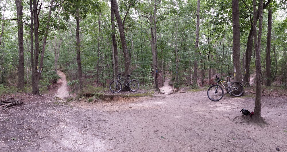
The local mountain bike club, CLIMB, built and maintains these trails and placed a sign at trailhead with their rules. All trails are one-way, but there are plenty of markers to keep you heading the right direction. A two-mile beginner loop is an excellent way to warm up. Though easy, it is anything but boring as it winds through dense forest. If you're new to mountain biking, this is a great place to start.
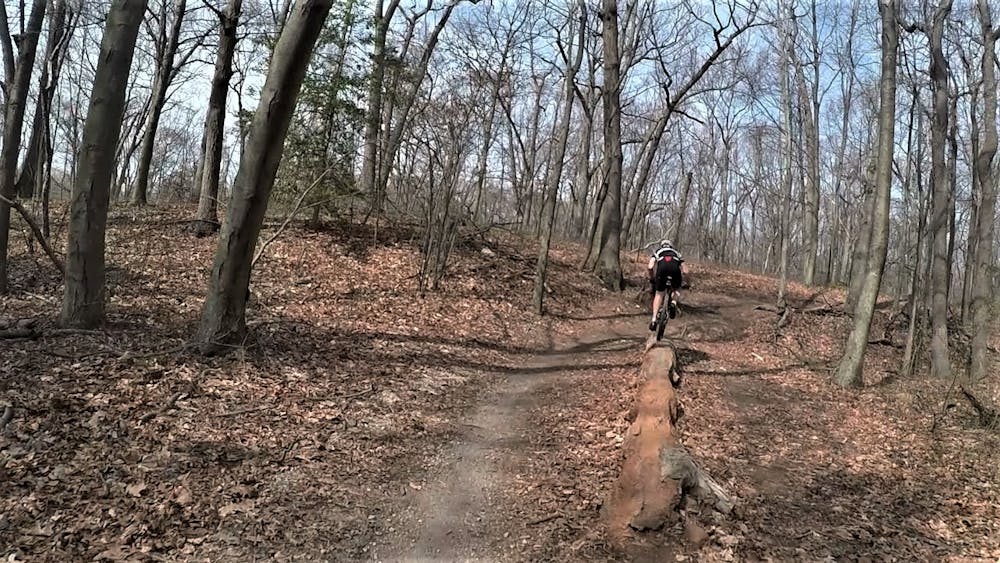
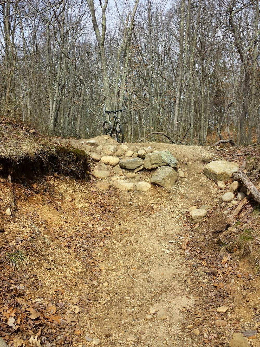
For more experienced riders, intermediate and advanced trails make up the rest of the park. Follow the black diamonds to hit the best and most challenging trails. Expect a roller coaster ride of short punchy climbs, balanced with fast, fun descents through ravines. Along the way, you'll find countless opportunities to catch a little air, and a few well-placed rocks make for challenging optional lines.
In contrast to the rocky trails in southern New Jersey, much of this trail is hardpack, mixed with sand and occasional roots. If you know the lines, it can be quite fast—especially for singlespeeders.
For some extra miles, a spur trail leads south following the same route as the Nassau Suffolk Greenbelt. Across the railroad track a steep, prominent hill makes for a challenging climb or technical descent. Further south, the miles are more open and fast, though you can still find a few more fun features along the way.
Difficult
Mostly stable trail tread with some variability featuring larger and more unavoidable obstacles that may include, but not be limited to: bigger stones, roots, steps, and narrow curves. Compared to lower intermediate, technical difficulty is more advanced and grades of slopes are steeper. Ideal for upper intermediate riders.

The trail contains some obstacles such as outcroppings and rock which could cause injury.

Close to help in case of emergency.
9 routes · Mountain Biking